TORS OF DARTMOOR

a database of both lesser- & well-known rocks and outcrops

Home Search Map The East Access About Team Social Blog

Broadmoor Common West

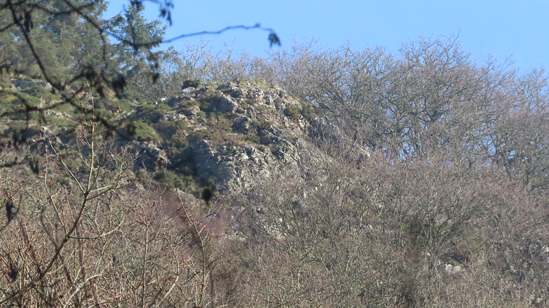
Difficult to access this sprawling rocky ridge on Broadmoor Common known locally as 'Bad Rock', it is very much like the outcrops on neighbouring Prestonbury Common not of granite.

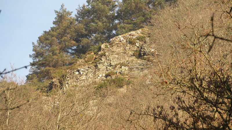
Dr. Tim Harrod first identified parts of this tor in a letter to Tim Jenkinson in 2011. There are two main lines of craggy rock running through the hillside at this point which are best viewed in winter months from the lofty elevation of the woodland path leading to Wooston Hillfort (Castle) from Fingle Bridge.
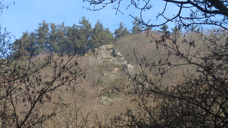
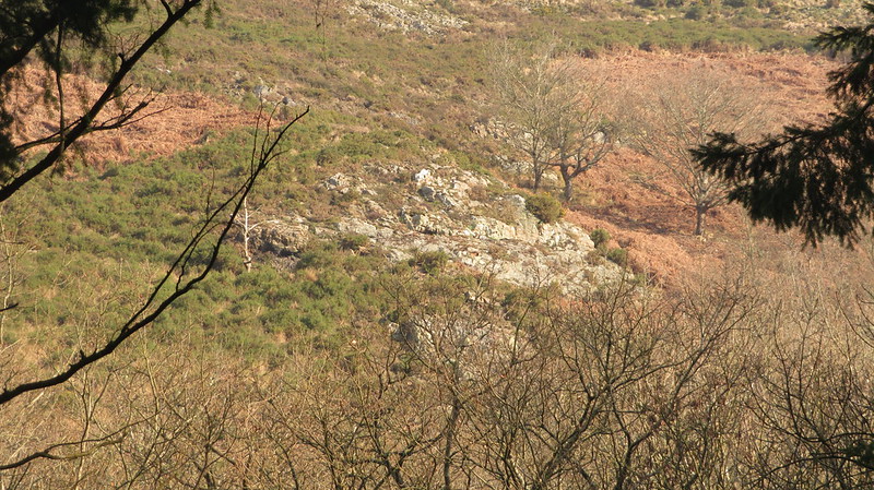
icon
icon
Broadmoor Common West
The map above is not a navigation tool and we recommend that the grid reference shown below is used in conjunction with an Ordnance Survey map and that training in its use with a compass is advised.
Grid Ref:
SX 755 898
Height:
215m
Parish:
Drewsteignton
Tor Classification:
Valley Side
Access:
Private (but visible from public land)
Rock Type:
Metamorphic
Credit:
Dr. Tim Harrod
Reference / Further Reading:
Tim Jenkinson: East Dartmoor The Hidden Landscape: Rocks and Tors & The Rock Piles of East Dartmoor: The Hidden Landscape Part 1 Dartmoor Magazine 132

Please Support Us

We are proud to see the names of lesser-known tors are now being used more commonly on other websites and whilst this is to be encouraged we do request that, should you wish to use the information on this page, you provide a backlink to the website as reference, by copying the relevant address:

https://www.torsofdartmoor.co.uk/tor-page.php?tor=broadmoor-common-west

Please also consider a small donation to the upkeep of the site; any contribution goes toward the fees to keep the database online and any costs incurred when undertaking research such as subscriptions to online archives.