This secretive tor is tucked away on the northern edge of an ornate private garden called 'Cothland', its landscaped ponds and cascading waterfall a marked contrast to the woodland you've just passed through.
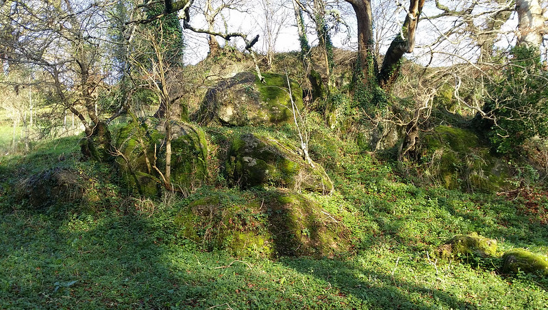
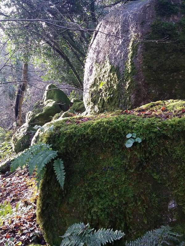
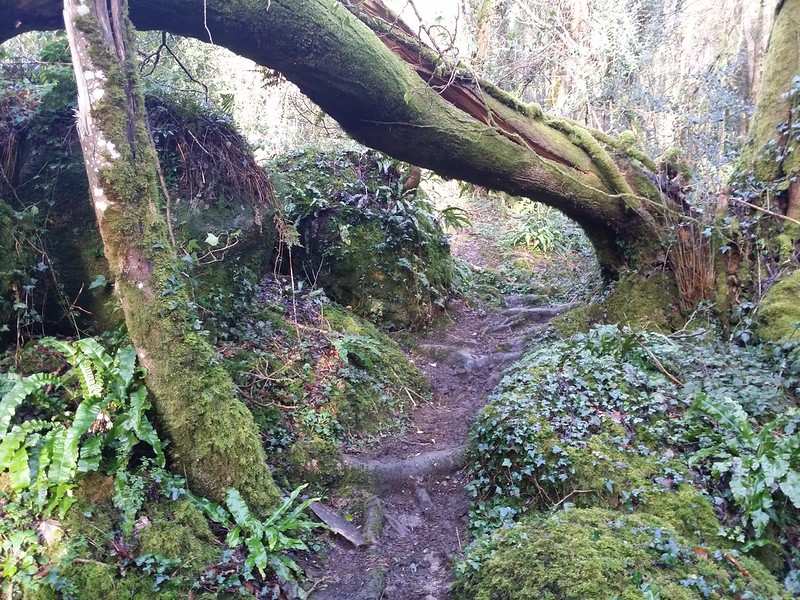
The bulk of the outcrop, however, is overgrown and the vegetation conceals its stature well. Consisting of a mixture of granite bedrock and boulders, the outcrop must be viewed from the public footpath that runs between Combe Barn and Hammerslake.
The meandering woodland right of way itself passes a multitude of moss covered boulders that would satisfy the visitor.
Cothland Tor
The map above is not a navigation tool and we recommend that the grid reference shown below is used in conjunction with an Ordnance Survey map and that training in its use with a compass is advised.
Grid Ref:
SX 7759 8173
Height:
150m
Parish:
Lustleigh
Tor Classification:
Valley Side
Access:
Private (but visible from public land)
Rock Type:
Granite
Credit:
Paul Buck
Reference / Further Reading:
Tors of Dartmoor Website
Please Support Us
We are proud to see the names of lesser-known tors are now being used more commonly on other websites and whilst this is to be encouraged we do request that, should you wish to use the information on this page, you provide a backlink to the website as reference, by copying the relevant address:
Please also consider a small donation to the upkeep of the site; any contribution goes toward the fees to keep the database online and any costs incurred when undertaking research such as subscriptions to online archives.