Following a gentle walk down the road from the entrance to South Harton Farm and the split cross that is embedded on the wall there brings the visitor to a point on the left side of the road where a dilapidated old wooden stile still scales the wall.
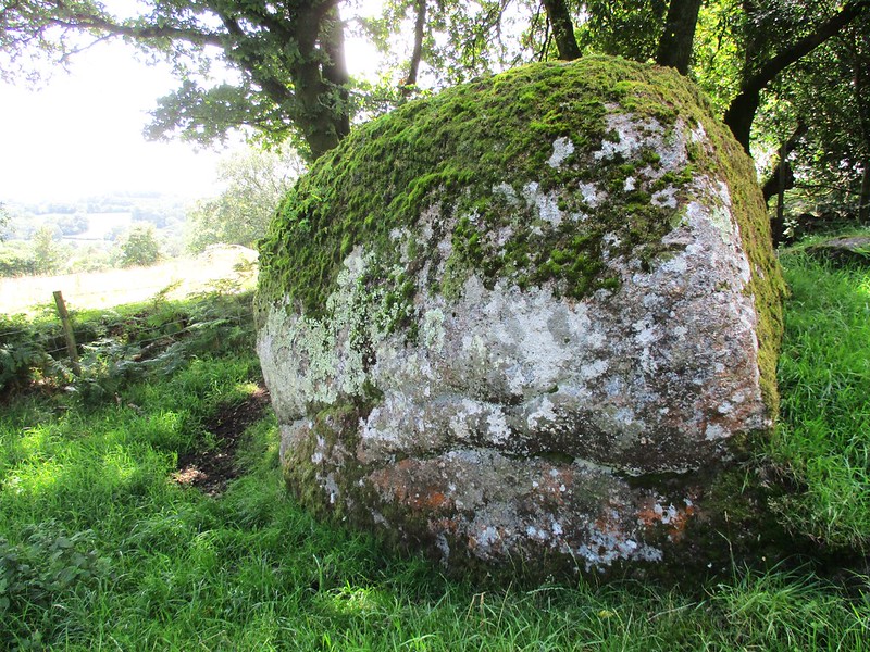
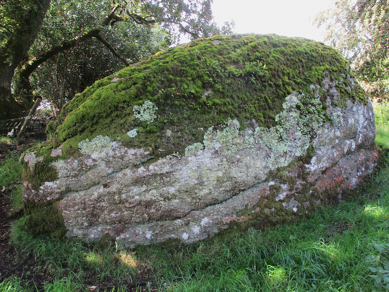
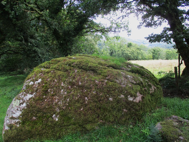
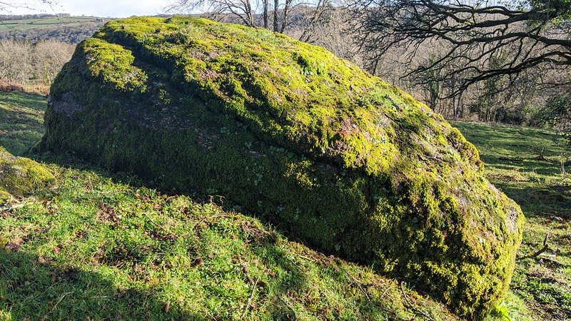
Its rungs mostly broken and overgrown it can still be climbed but with some difficulty. The short but troublesome descent to the other side brings you into a grassy field and in vision of what is a huge rounded boulder with some scattered rocks below and into nearby enclosures. The main rock has a fine rounded shape and is quite impressive at closer inspection.
Views are concentrated to the south through the branches of trees looking down the valley towards Lustleigh in the far distance. No mention in Dartmoor Literature the rock here is nonetheless worthy of a name and some recognition.
Harton Rock
The map above is not a navigation tool and we recommend that the grid reference shown below is used in conjunction with an Ordnance Survey map and that training in its use with a compass is advised.
Grid Ref:
SX 7740 8220
Height:
225m
Parish:
Lustleigh
Tor Classification:
Boulder
Access:
Private (but accessible)
Rock Type:
Granite
Credit:
Tim Jenkinson
Reference / Further Reading:
Tim Jenkinson: Tors of Dartmoor
Please Support Us
We are proud to see the names of lesser-known tors are now being used more commonly on other websites and whilst this is to be encouraged we do request that, should you wish to use the information on this page, you provide a backlink to the website as reference, by copying the relevant address:
Please also consider a small donation to the upkeep of the site; any contribution goes toward the fees to keep the database online and any costs incurred when undertaking research such as subscriptions to online archives.