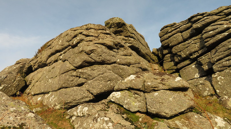
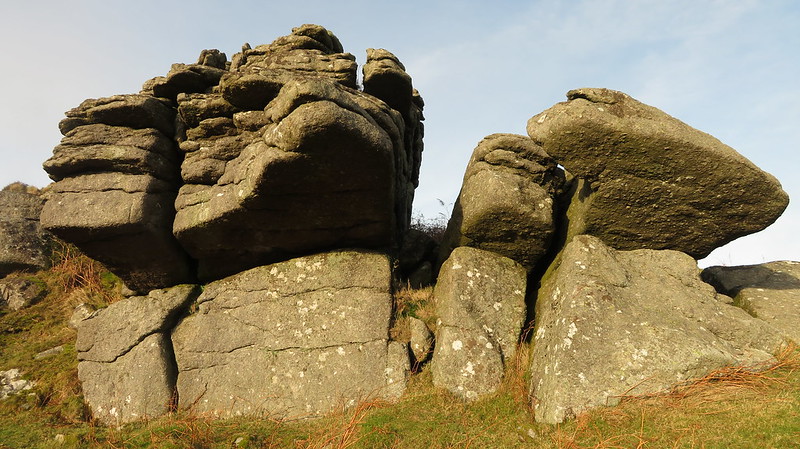
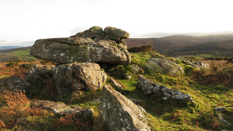
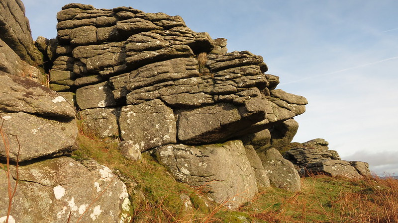
Southcott Rocks is the name that Eric Hemery introduces for the lowest outcrops on the far southern slopes of Hayne Down.
Hemery states; "At the further, south-east head of the down is another rock-field, the ruined tor at its head being sometimes referred to as 'Southcott Rocks', for the knoll on which they stand is Southcott Down. Southcott Farm lies below, its newtake enclosing a large portion of the clitter."
The largest and highest of the piles has an impressive overhang. At least two other groups are scattered across the slope above Southcott Farm.
Southcott Rocks
The map above is not a navigation tool and we recommend that the grid reference shown below is used in conjunction with an Ordnance Survey map and that training in its use with a compass is advised.
Grid Ref:
SX 746 799
Height:
380m
Parish:
Manaton
Tor Classification:
Spur
Access:
Public
Rock Type:
Granite
Credit:
Eric Hemery
Reference / Further Reading:
Eric Hemery: High Dartmoor Tim Jenkinson: East Dartmoor The Hidden Landscape: Rocks and Tors (published privately)
Please Support Us
We are proud to see the names of lesser-known tors are now being used more commonly on other websites and whilst this is to be encouraged we do request that, should you wish to use the information on this page, you provide a backlink to the website as reference, by copying the relevant address:
Please also consider a small donation to the upkeep of the site; any contribution goes toward the fees to keep the database online and any costs incurred when undertaking research such as subscriptions to online archives.