
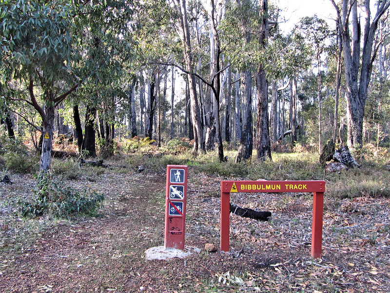
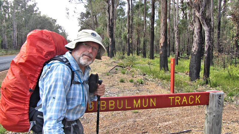
Here we go with the next leg of my Bibbulmun Adventure. a leg where I had to dig deep as the weather exacerbated the loneliness of walking alone.
Tuesday, 8th October 2013: Day 12
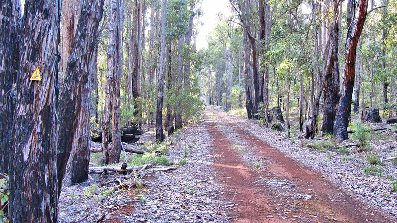
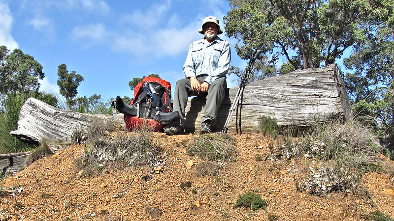
Exchanged contact details with Sean; we’ll go for a beer in Fremantle, where he lives, when I get back to Perth, and set off at 6:15 am. It soon became apparent my fitness could manage a double hut 32 km day. The weather was sunny, but soon turned, as forecast, although a little earlier than expected.
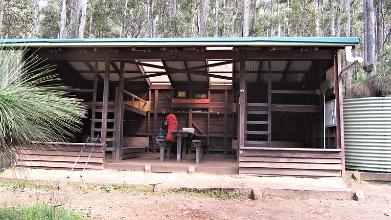
Arrived at Swamp Oak shelter at 10 am, far too early to stop, so I pushed on, in the rain, for Murray.
A slippery climb up from Swamp Oak Road, and steep descent to the road at Yarragil Form. With hardly a moment to catch a breath, it was a 170 metre ascent out the other side.
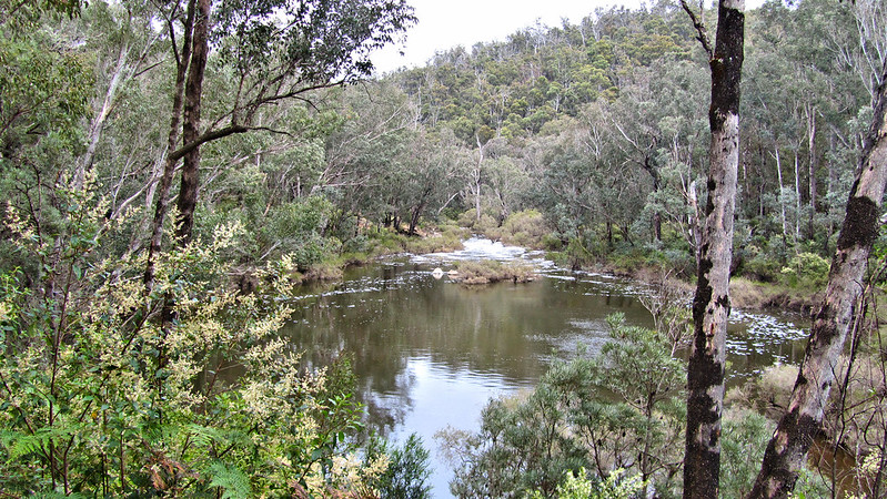
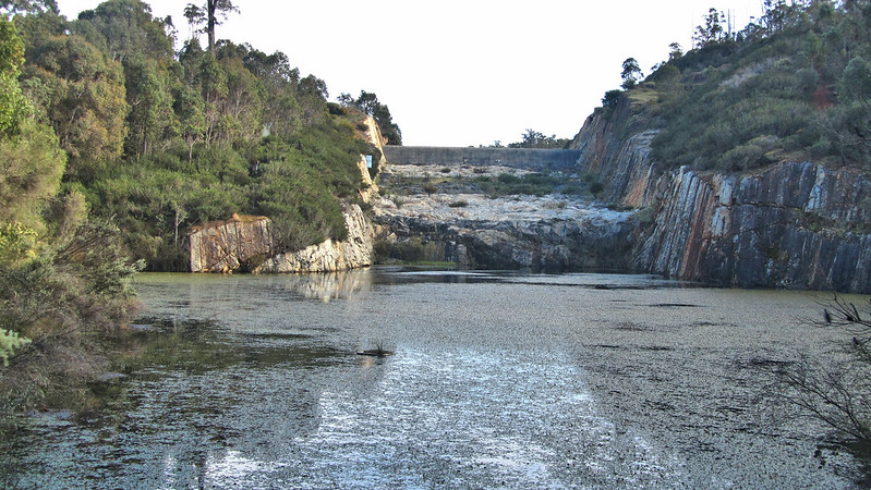
Once altitude was achieved, it was a steady 10 km down into Murray campsite, by about 3:30 pm. A long day, well pleased as it now puts me two days ahead of schedule.

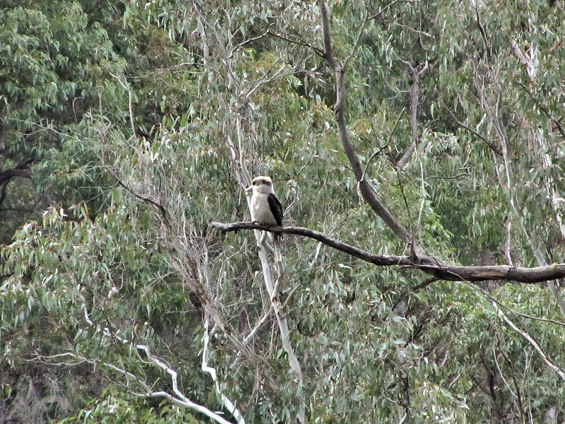
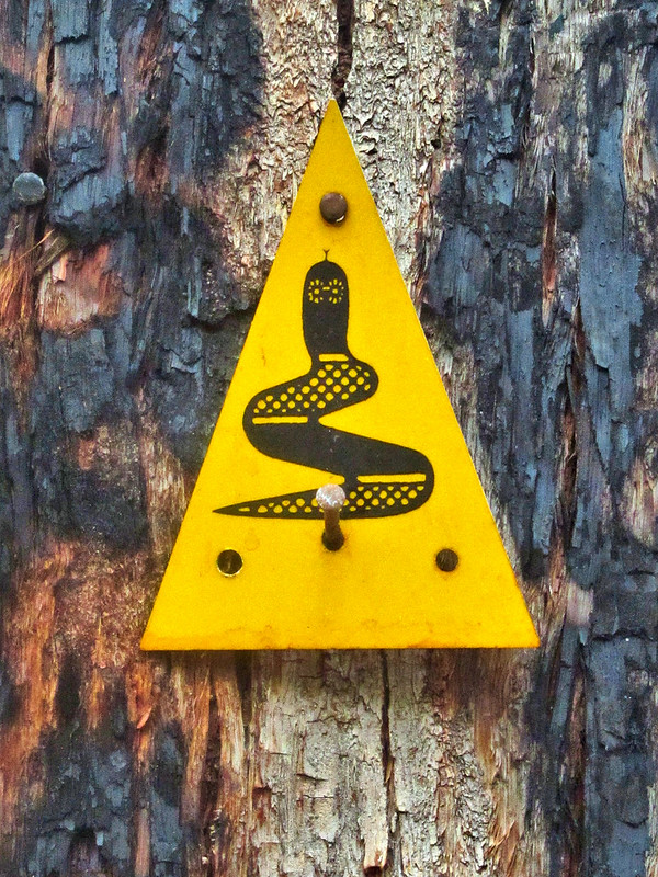
Aside from a solitary Kookaburra, nobody joined me tonight, I feel this could be a lonely five nights to Collie.
I settled down with my book about 6:30 pm. Darkness drew in and so did the rain.
Wednesday, 9th October 2013: Day 13
On paper, the walk to Dookanelly Campsite looks a breeze at 17.8 km and fairly flat. Throw in a night of persistant rain and some more a couple of hours into the day and you have, in reality, a wet trudge along the Murray River.
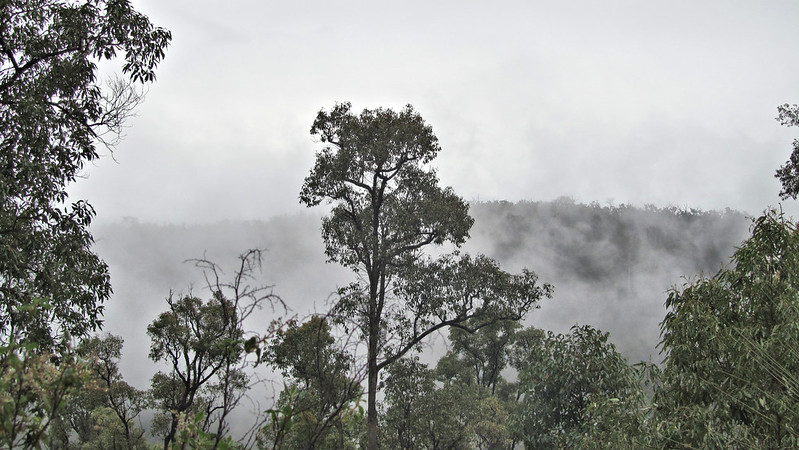
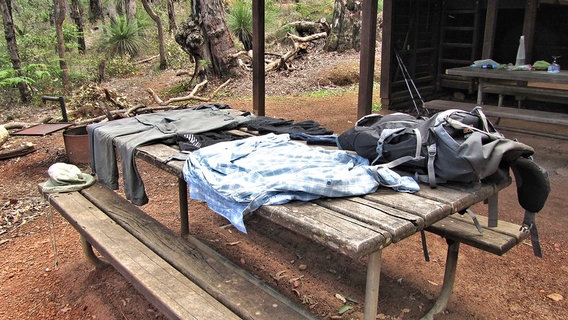
Gone at 7:15 am, in the mist, I laboured through saturated foliage along overgrown paths and tracks, arriving about midday. I was afforded some sunshine to dry out my gear.
I have to say, the previous sleepless night of rain and this “simple” leg are the closest I have come to quitting. If I have learnt anything in the last thirteen days it is that I am not the solitary soul I thought; right now I crave the company of others at camp. It is particularly frustrating that at each hut I read the log books and see Dropbear one hut away, sadly the distances are too far for me to consider a double hut leg. But I’m here now, and the sun is out, and things always seem better when that is the case.
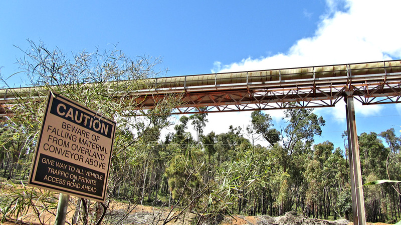
The evening came and I noticed, accompanying the bird song, there was a low drone of heavy machinery in the distance that stayed for the night. This was the famous Worsley Conveyor Belt; I had been told that you can hear it two days before you reach it, and two after. Well, last night the rain drowned out everything and I will reach it tomorrow.
Thursday, 10th October 2013: Day 14
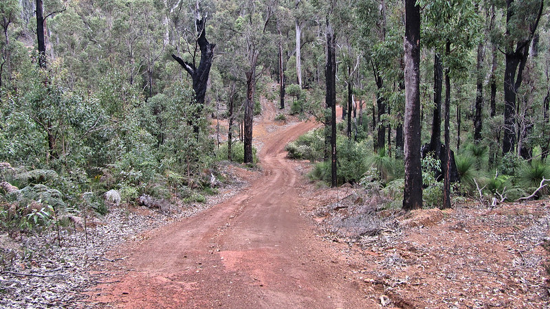
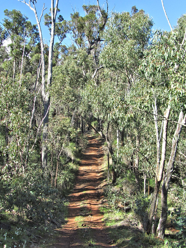
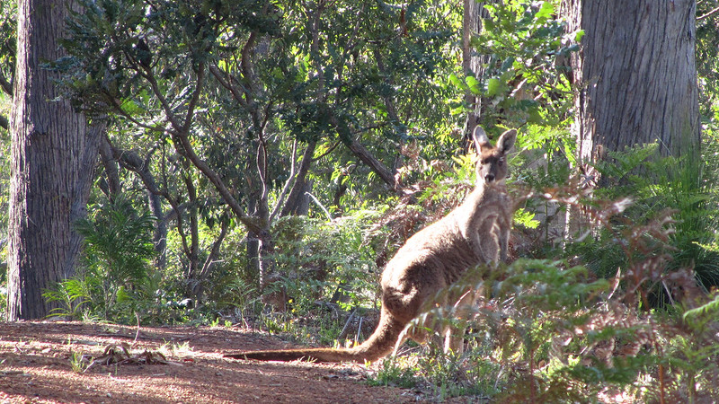
A much better sleep last night and up for the day in a better mood. Away by ten to seven, and first order of business was to tackle some hills they call “The Four Sisters”. These lumps were quite a challenge, a roller coaster of a four wheel drive track. The scenery helped the pain, and provided plenty of excuses to stop, as did coming face to face with a kangaroo on the brow of one.
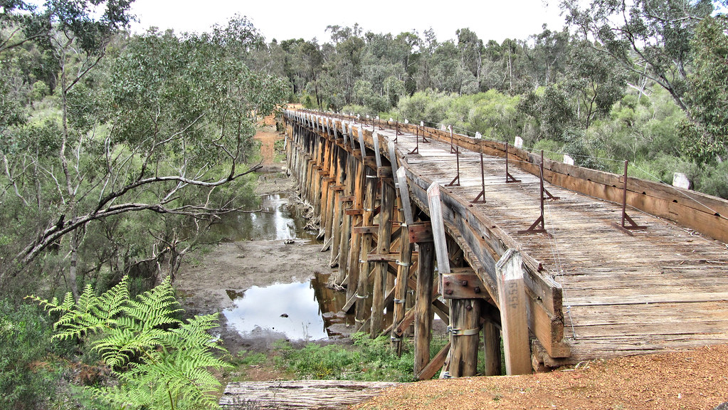
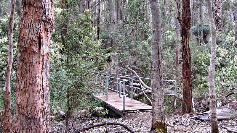
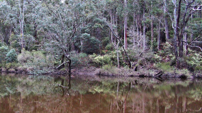
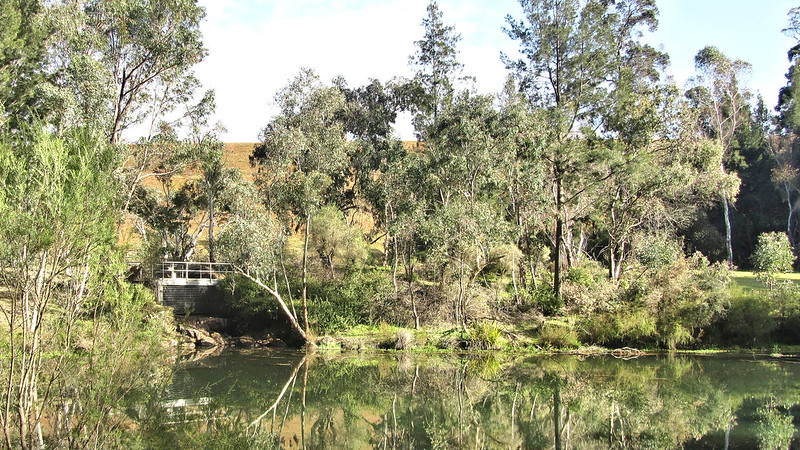
By 10 am, I was at the Murray River and the famous Long Gully Bridge.

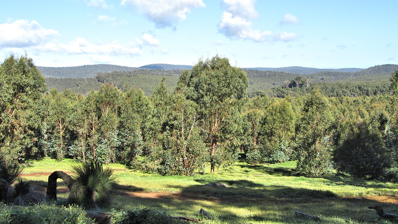
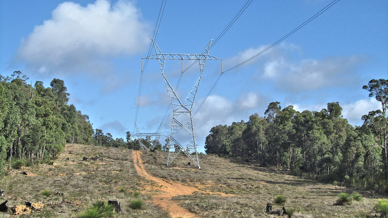
Across the Harvey-Quindalup Road, by now the conveyor belts constant hum was very prevalent and it only took fifteen minutes before it was in sight. What a feat of engineering, the Worsley Conveyor Belt transports bauxite 52 kilometres from the mine to the refinery in Worsley.
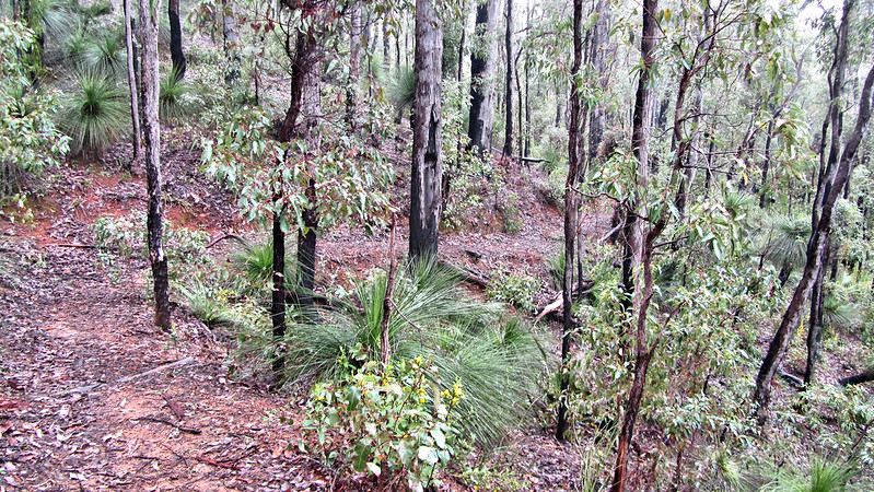
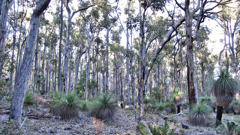
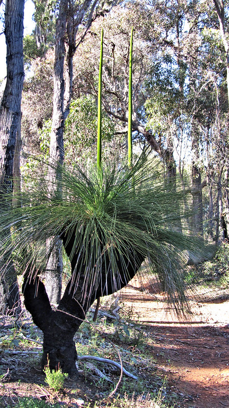
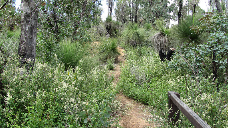
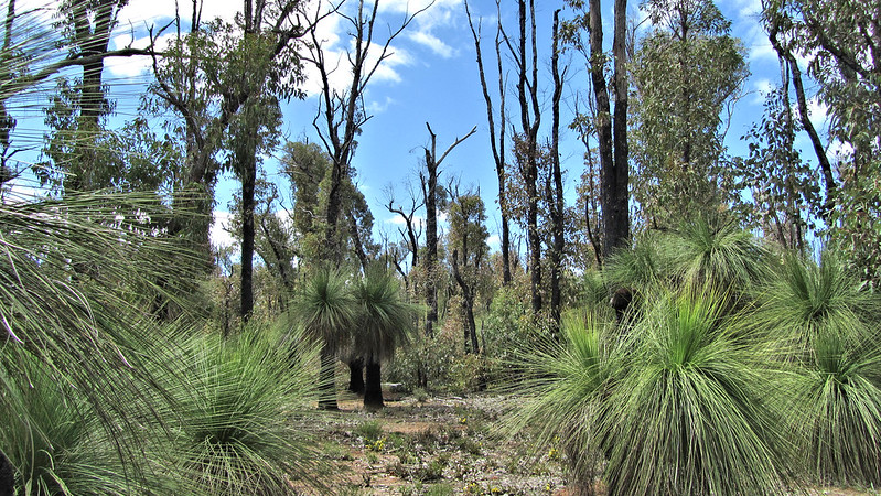
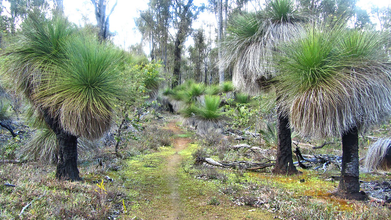
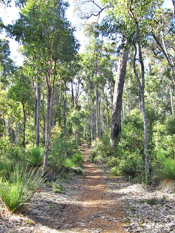
Up another hill and down to Bell’s Brook; a trickle of water through a flood plain of grass trees and shoots of green starting to merge from the mud. The section from Dwellingup hasn’t been prolific for wildflowers so far, the rains have hampered this.
I met a walker along Possum Creek, my first human contact for a couple of days. He was skipping the shelter thanks to tales of mice and bush pigs, but I was too tired to do the same, besides, I have a plan to double hut tomorrow.
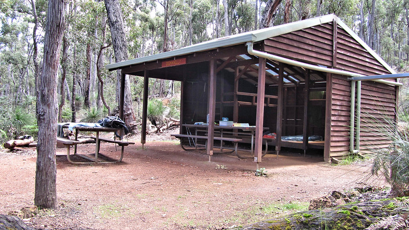
I arrived at Possum Springs Campsite at midday. I noticed Dropbears comment in the log book about the rats and pigs and put his concerns down to a bit of lonely night paranoia.
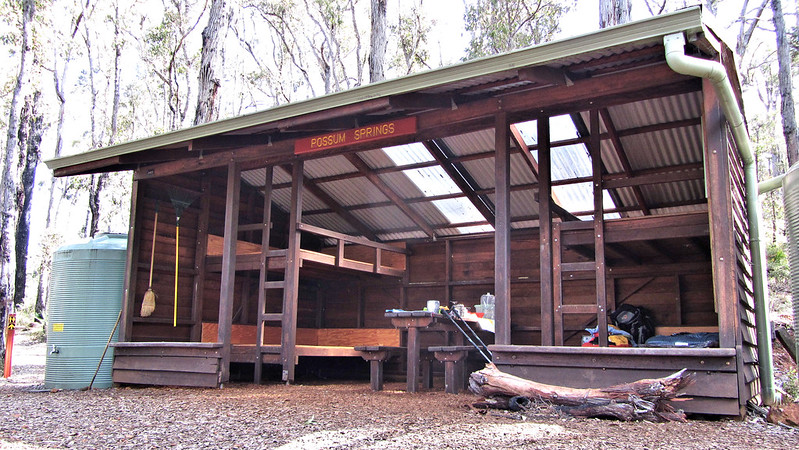
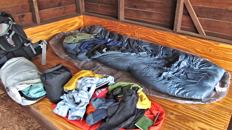
Had lunch and laid back chilling on a beautiful sunny afternoon; what a difference a day makes! The evening was not so relaxed. As sun set, the rats came out of their nest behind a piece of hardboard under one of the top bunks. I quickly hung my food up and vacated to my tent for a quieter night!
Friday, 11th October 2013: Day 15
Not many dramas today apart from a 33 km walk and intermittent rain. It was a straightforward route, flat and taxing on my left ankle for some reason.
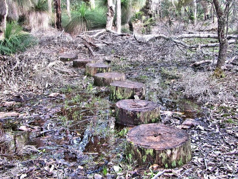
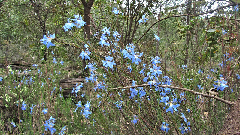
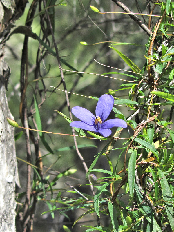
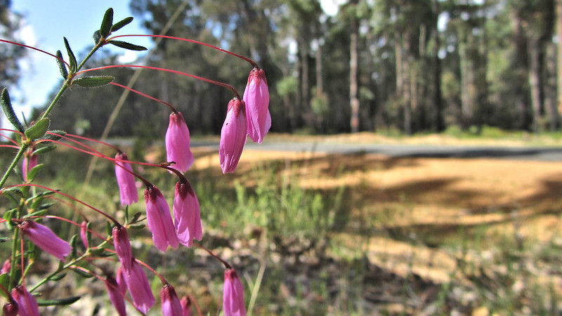
I crossed a few wet areas, such as “Plonkhole” where the wildflowers were beautiful!
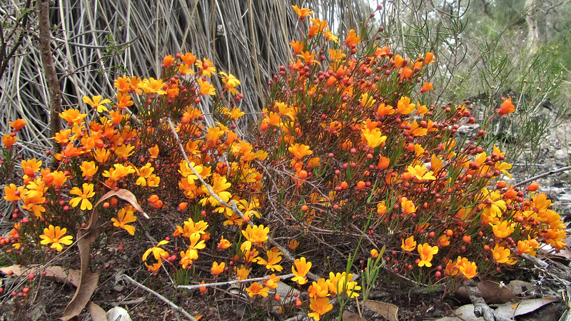
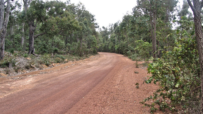
The Wilhusen Road was as boring as it was straight, southbound for nearly 7 kilometres. I was glad to reach the Harris River flood plain, about 9:40 am, and crossed with little problem; again, the flowers were stunning!
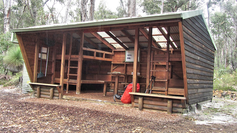
Yourdamung Campsite is a way off the track, and extra mileage for someone just dropping by to get water. I stopped to eat, while it rained again, and was away in the wet at just gone 11 am.
By now, I had given up on a waterproof jacket. A sunny spell soon came along to dry me out, and the temperature was warm enough to negate hypothermia.
A long section through barely undulating forest, I reached Caversham Road by 2 pm. My legs were spent but the old trick of tick points on the map saw the final 2.9 km go quickly and I wandered into Harris Dam Campsite forty minutes later.

My biggest day, well chuffed to be over the 300 km mark, Collie tomorrow will be a third of the Bibbulmun behind me!
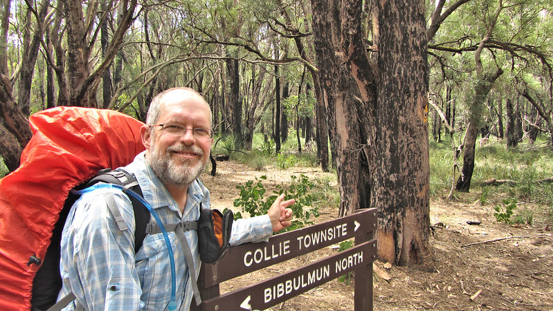
Saturday, 12th October 2013: Day 16
Sunshine greeted me this morning and it was perfect all day. Some short descent, disturbing a few roos along the way, I was down to the Harris Dam picnic site for a break.
I was going well and soon ticking of the kilometres!
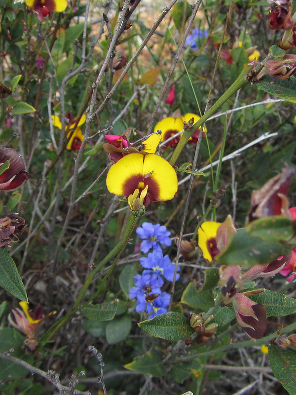
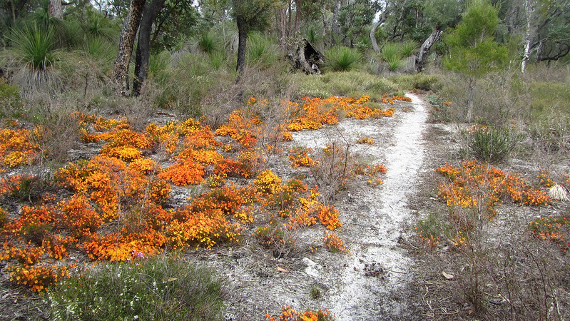
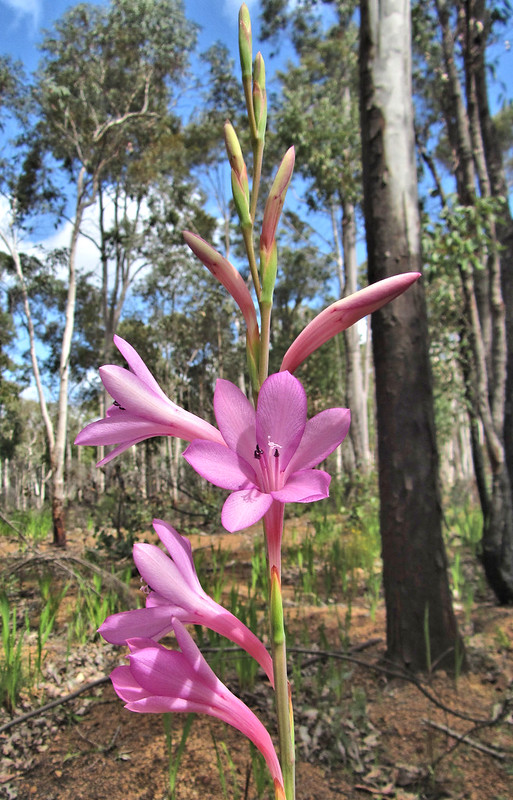
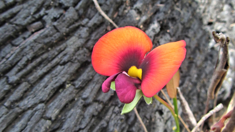
As I strode on, I found the wildflowers becoming more prolific and beautiful.


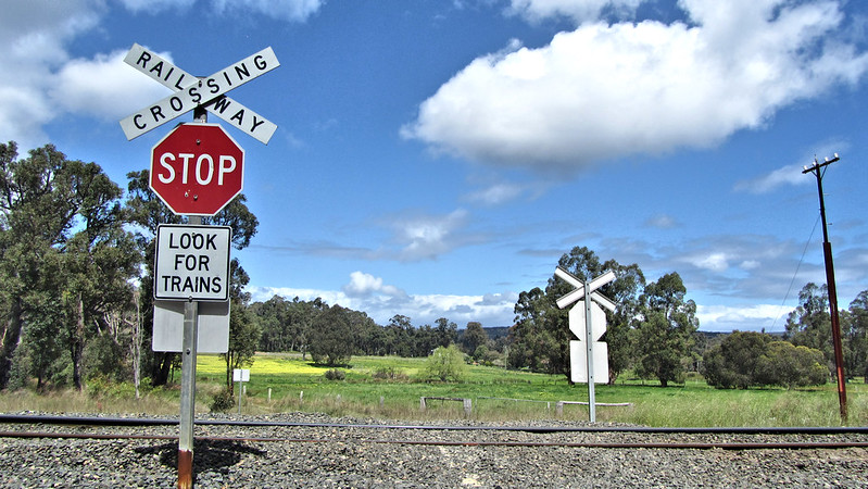
I reached the railway that runs through Collie, and I knew the township was almost within reach.
Unfortunately, the designers of the route had other plans and took me on a hike around the outskirts to the spur trail. Still, more flowers to see.
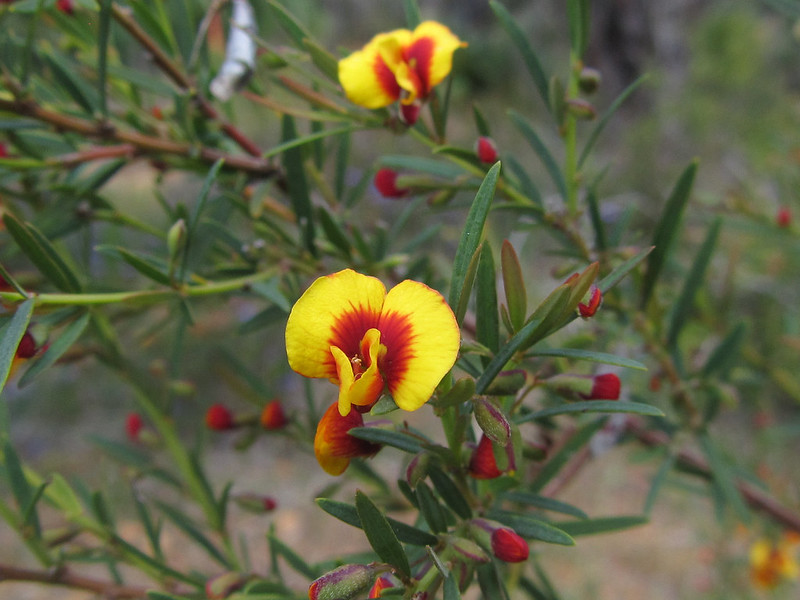
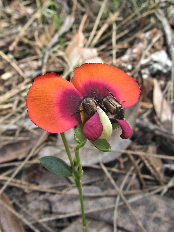
Including this one with two little beetles sitting snugly in the morning sun.
Eventually, I was pleased to see the turn off! A good bed and food other than freeze dried awaited in a couple more kilometres!
Booked into the Colliefields Hotel, where I will be staying for three nights as the shops are shut on Sunday. Spent most of the rest of the day writing up the blog, posting pics, with a side trip for a Big Mac, large fries and strawberry shake; it had to be done and was delicious! 324 kilometres done, and a third of the way!
To be continued…