
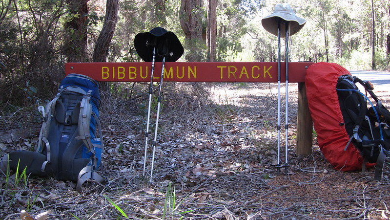
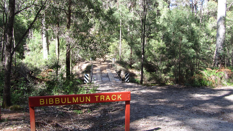
Here we go again with another trip report along the Bibbulmun Track. After a days rest in Balingup, it was eight days to Pemberton.
Saturday, 19th October 2013: Day 23
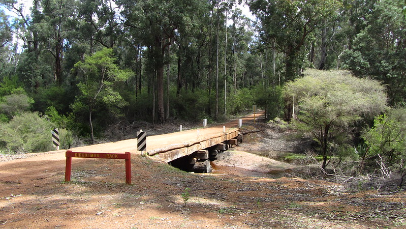
A rest day today, and after a fry up breakfast, we picked up supplies from the local store and then took a ride out to Wright’s Bridge to see what the camping situation was like, and, in particular, whether Mikey could sleep under the bridge because he didn’t have a tent. We weren’t very impressed so we decided that we would stay an extra night in Balingup, and with Helen staying on, she could pick us up at the bridge tomorrow and drop us back there the next day! Decision made, we headed for the pub after a quick visit to a cheese factory.
In the evening, we went to a Spring Festival in Golden Tree Valley Park, and a big bonfire. This used to be Guy Fawkes Night but as the fifth of November is after the fire ban, it was moved forward.
Sunday, 20th October 2013: Day 24
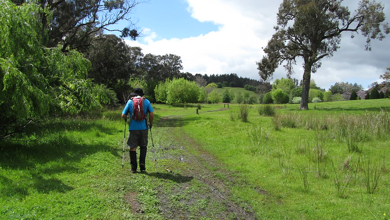
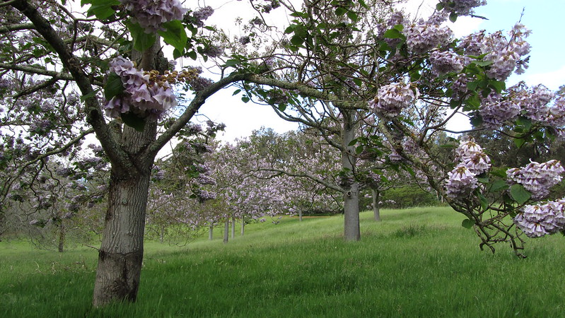
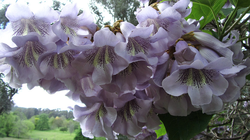
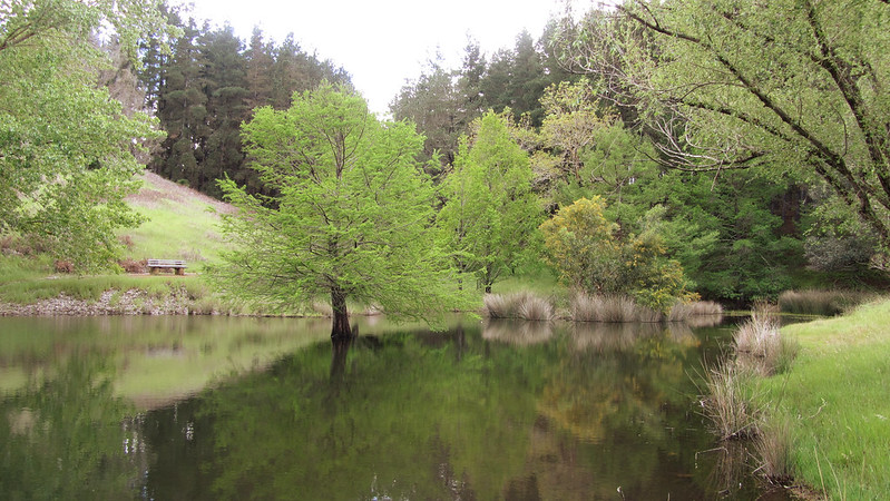
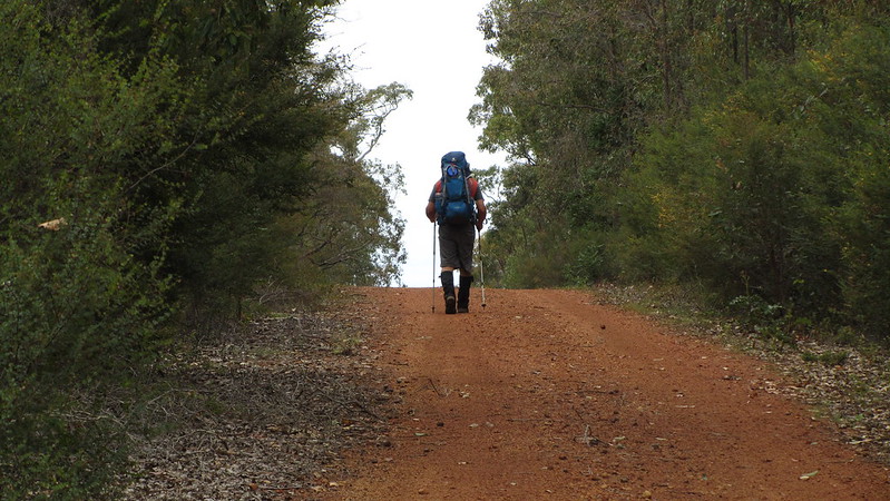
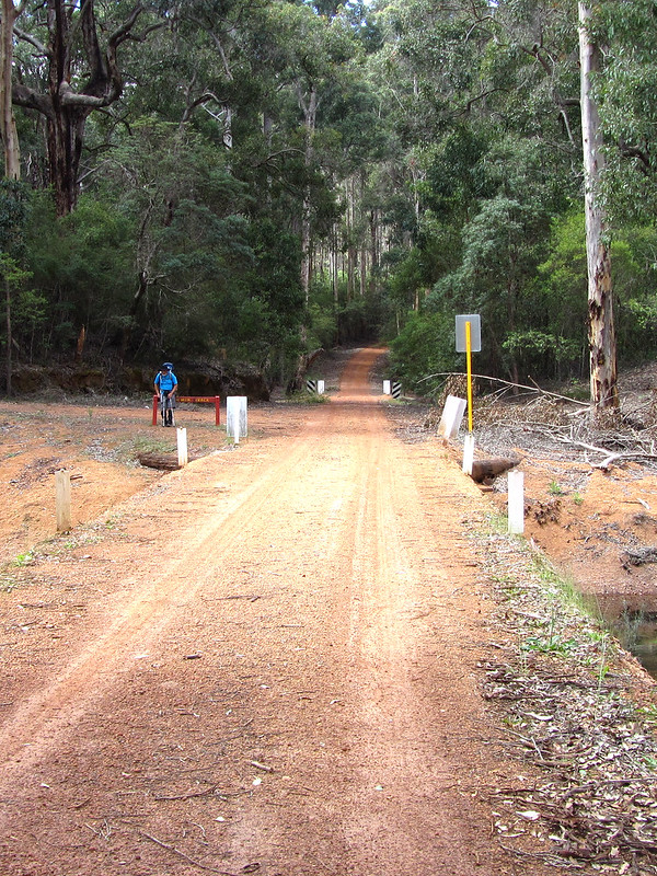
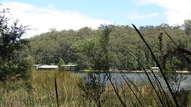
An easy day as Andrew and I slackpacked to Wright’s Bridge, first travelling through the Tree Park. This is a lovely park, filled with countless non-native trees.
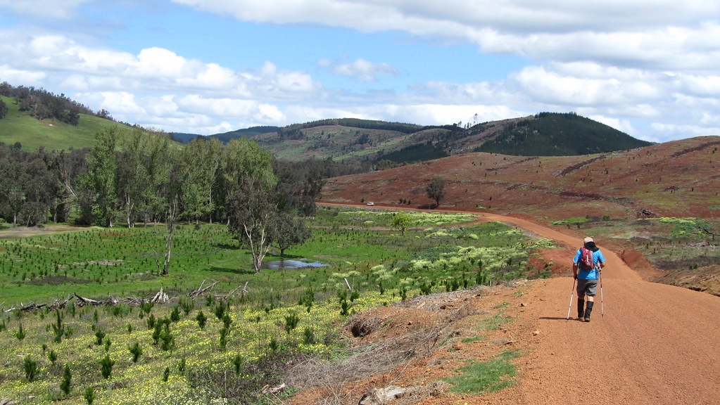
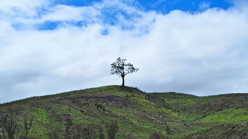
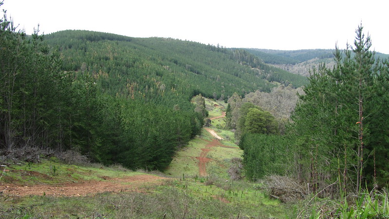
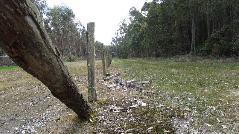
Out of the park, we took a dirt road up to Hay Road, where the diversion began. It was a long road, but there were decent views of the hills, and a change from forest.
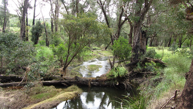

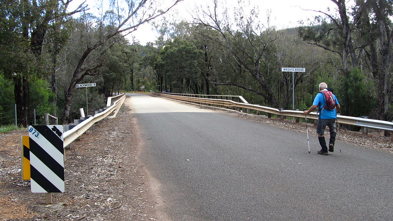
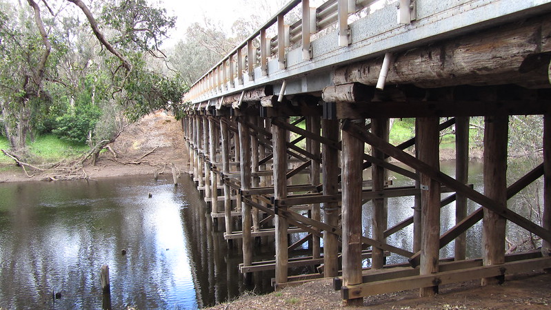
Through to Wright’s Bridge, Helen was there with the car to take us back to Balingup.
Monday, 21st October 2013: Day 25
Helen dropped us off before eight in the morning, and we promptly took the wrong path that did a full circle of the bank of the Blackwater River, before we realised it went along the road.
Up onto unsealed Lenora Road, a steady ascent that went on for an age.
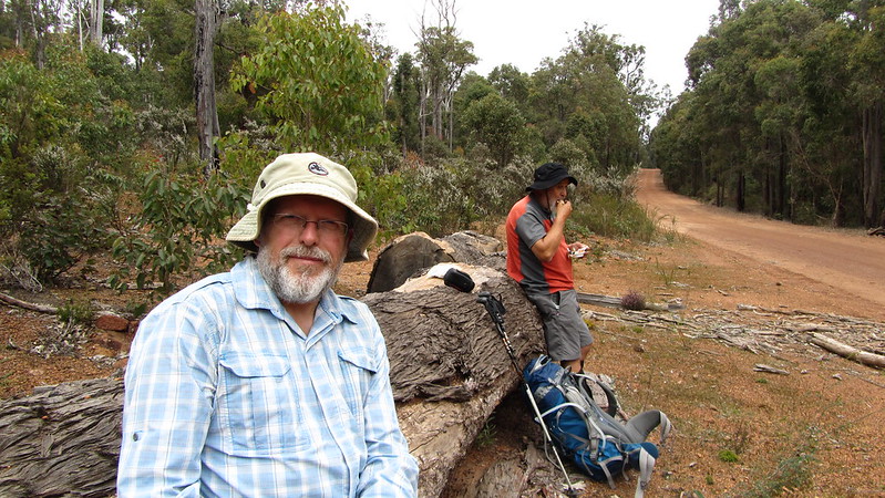
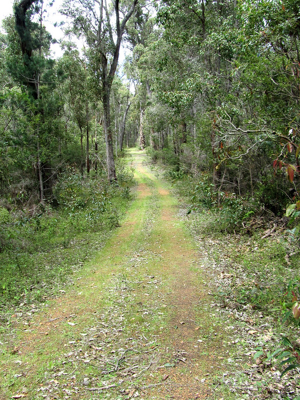
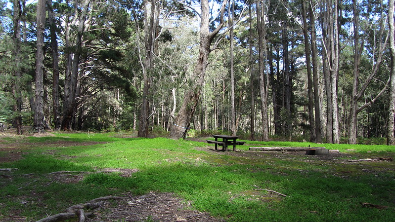
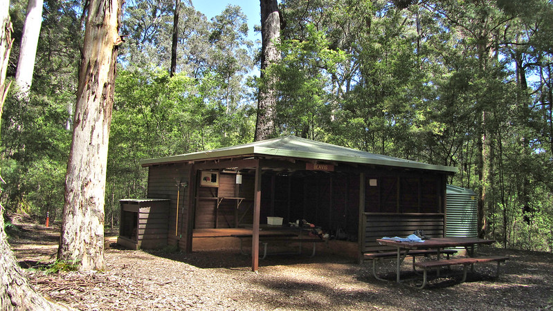
This section was long, boring road walking to rejoin the path proper, then just 45 minutes to the shelter, Gregory’s Brook, arriving at two in the afternoon. A lazy afternoon and an evening round the fire, and bed by 7:30 pm.
Tuesday, 22nd October 2013: Day 26
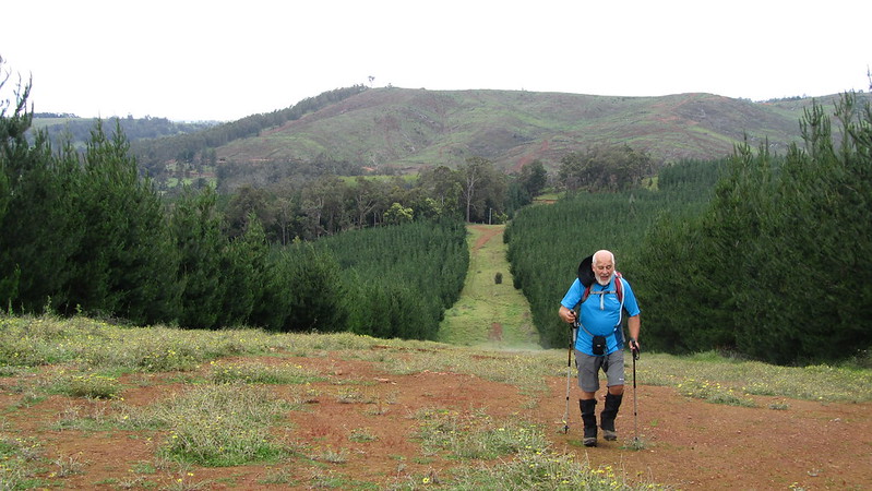
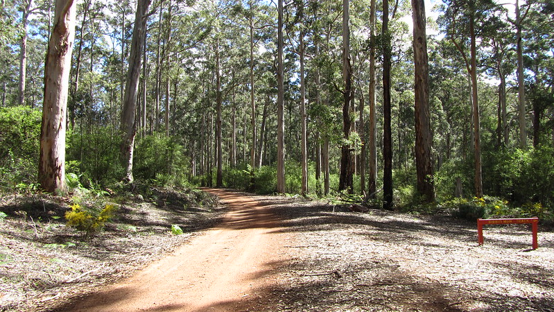
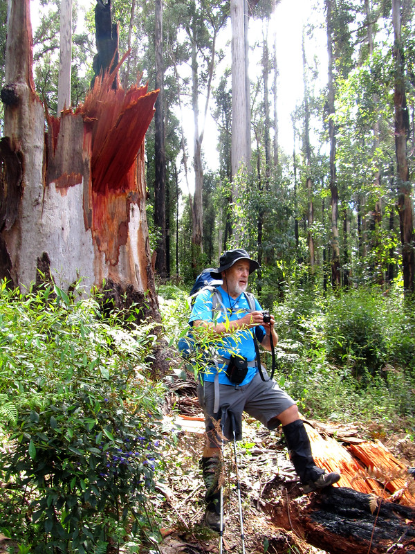
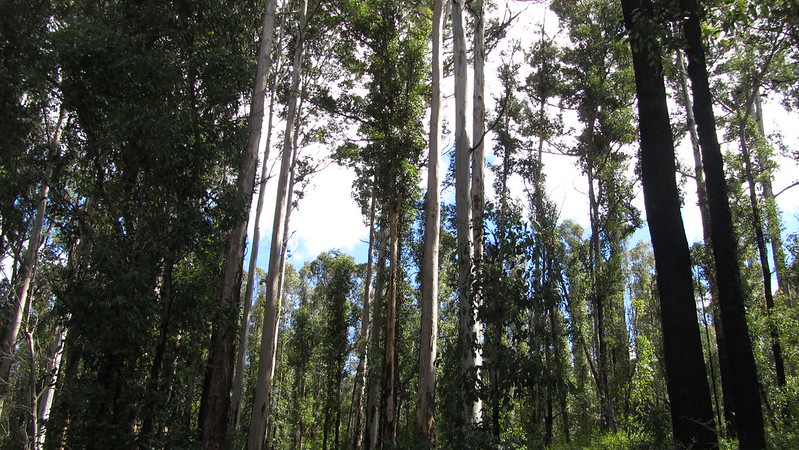
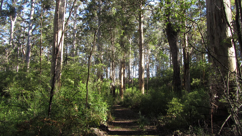
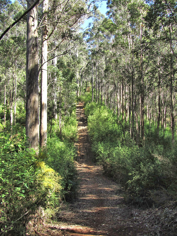
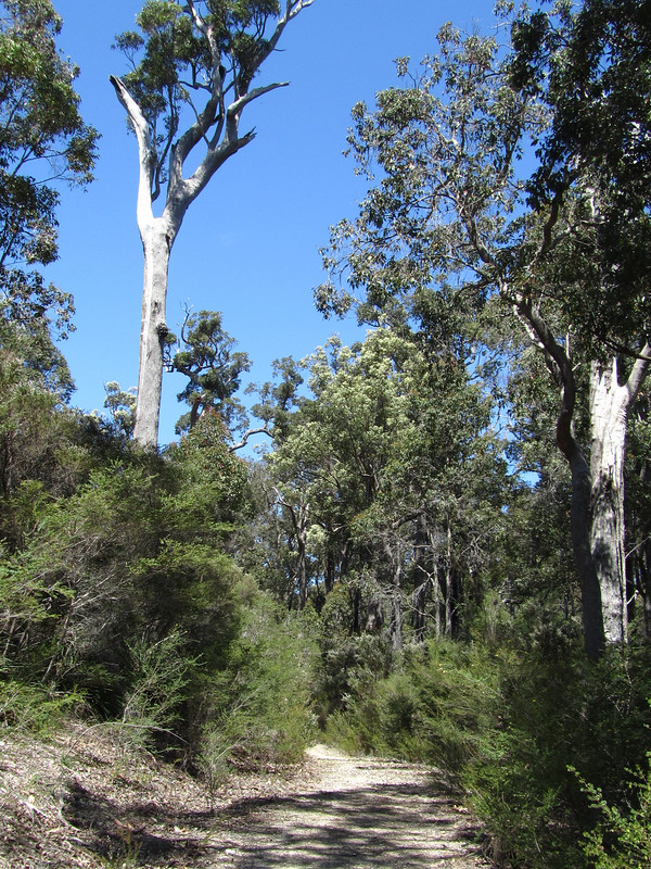
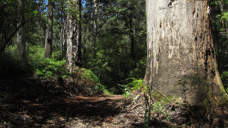
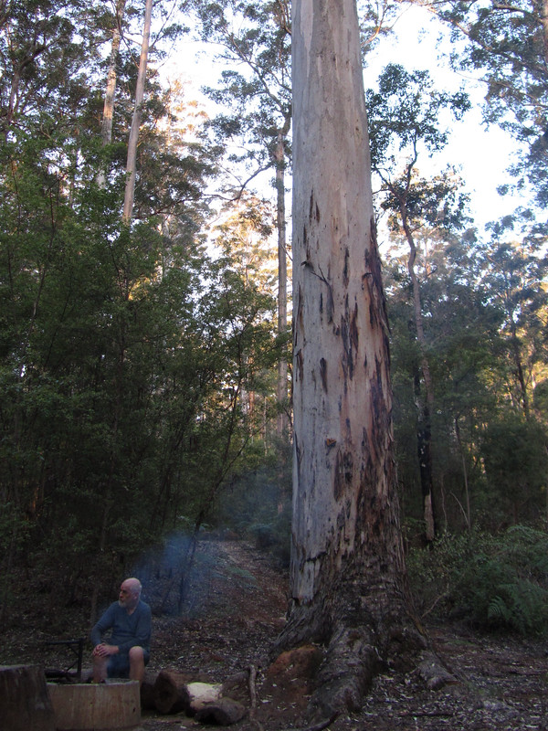
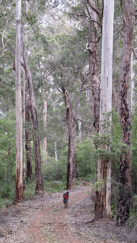
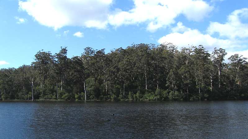
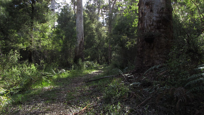
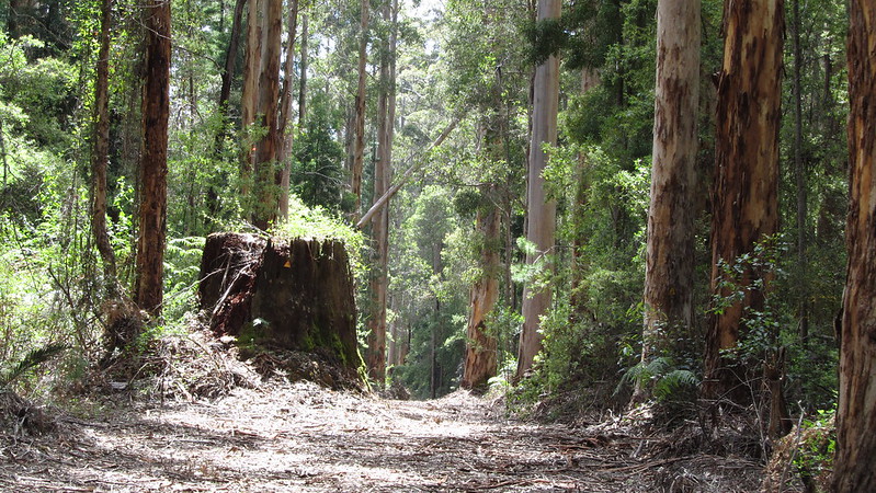
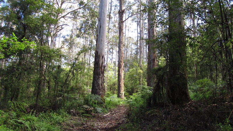
Probably the coldest night, we were away by eight. This was an “all downhill” section that always has some element of uphill. As we made our way over the Brockman Highway and down to Willow Springs recreation area, we started to notice the appearance of the mighty Karri Tree.
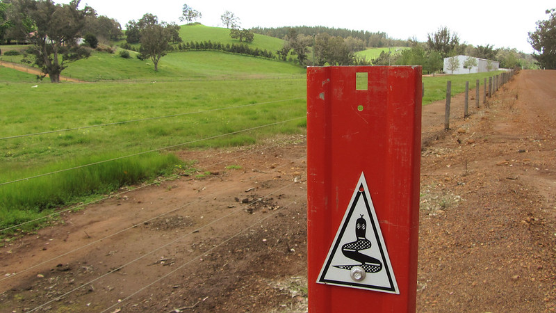
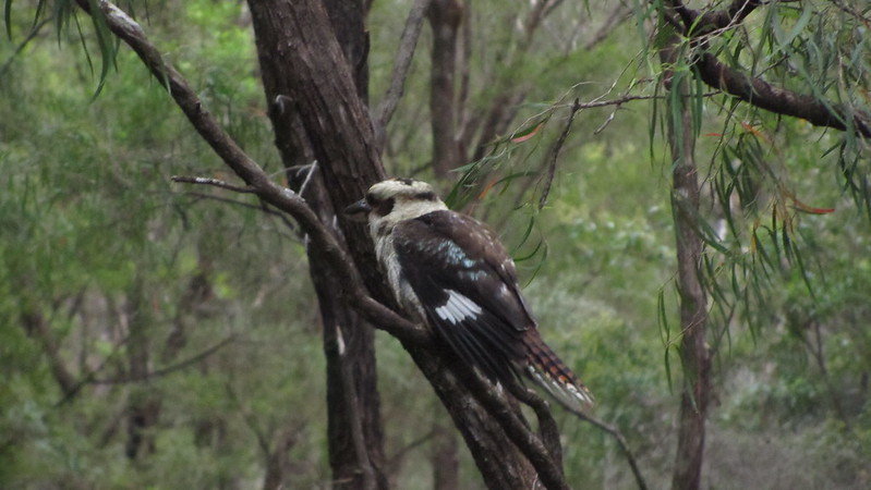
I also got my first look at a Tiger Snake! a few feet from where I stepped, it slithered away into the undergrowth. I was thrilled and buzzing all the way to Willow Springs.
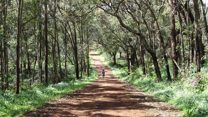
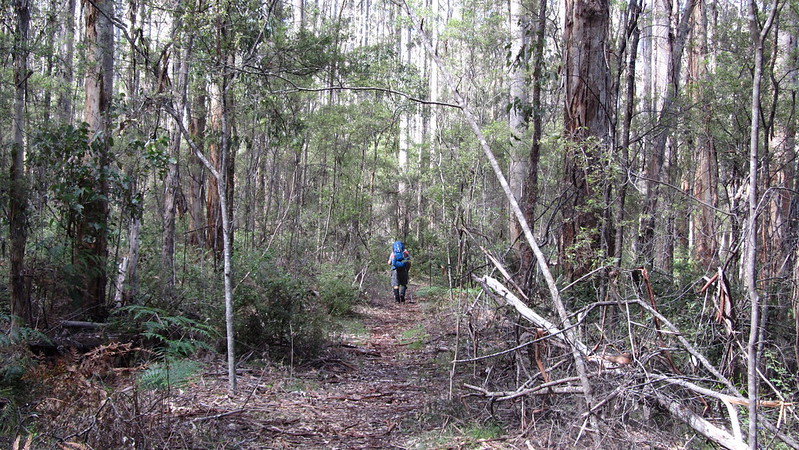
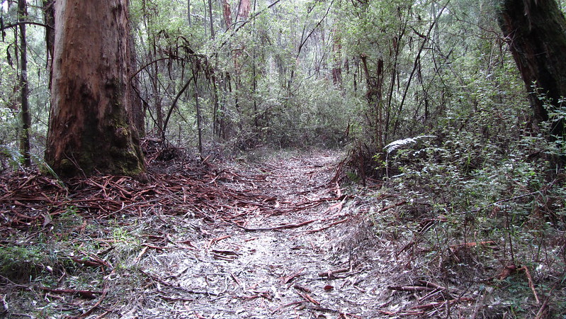
From Willow Springs we encountered a large number of fallen trees, but thankfully they were only small, and were just an annoyance rather than a real problem. The path was good for the duration into Donnelly River Village.

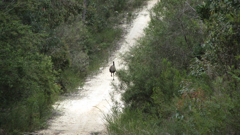
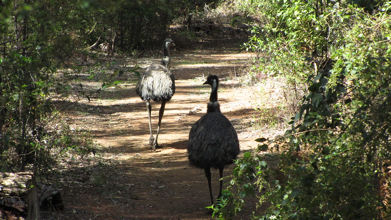
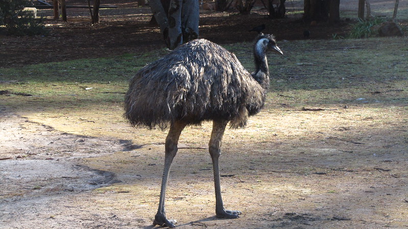
As we neared the end of the day, we bumped into a couple of emus on the track; not phased by us, they stepped into the bush.
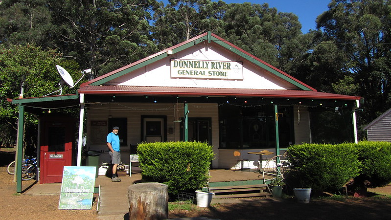
We arrived at the village about 2:20pm, and booked into the backpackers accommodation. The whole complex is looking tired, and the rooms were dirty and a big disappointment.
This used to be a busy timber mill felling the Karri. The backpackers is the former school, and chalets are the former cottages.
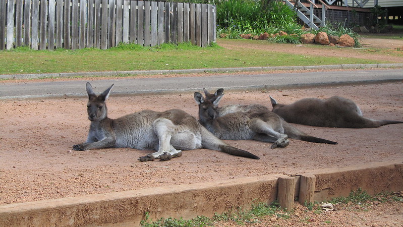
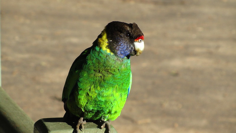
The Beef Lasagne we had for dinner in the store was good, and with the tame kangaroos, emus and parrots residing in the village, I can see why it might appeal; it just needs some freshening up.
In the evening, we retired to the TV room, for want of something better to do.
Wednesday, 23rd October 2013: Day 27
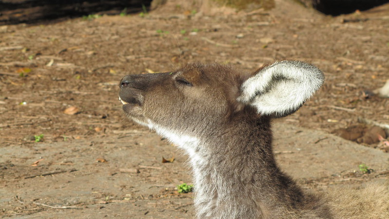
Despite hanging around to have bacon and eggs at the general store, which opened at 8:30 am, we were both up and ready by seven! Still, it gave us some time to enjoy the friendly wildlife.
Breakfast finished, we were off at 9:15. It was a short 16 kilometres today, and fairly level, so we could take our time.
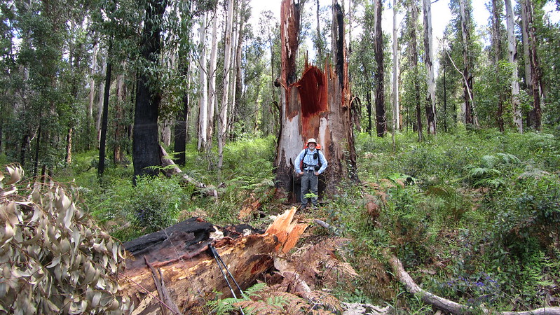
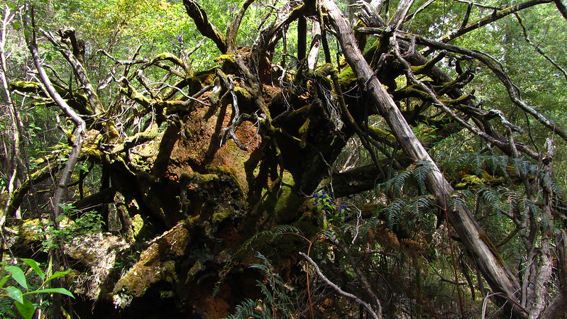
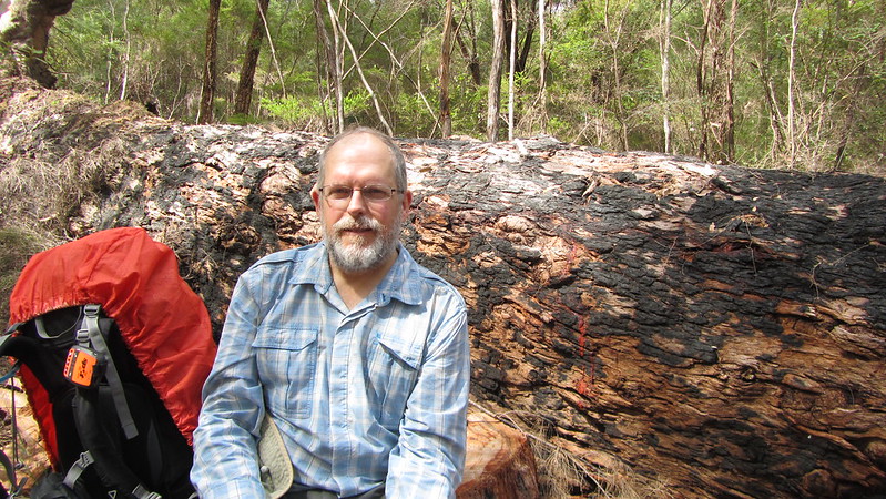
We passed a fallen Marri, split at just above the base, and not uprooted, but the devastation it had caused to the smaller trees was impressive.
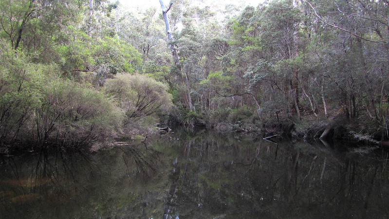
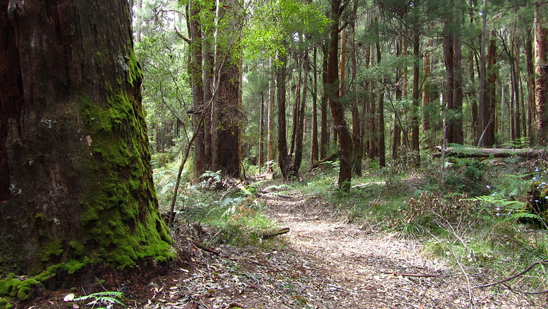
As we went, the trees got taller. We stopped at Tom Road, about 8.5 km out of Donnelly River Village, and I had a paddle in the brook.
Then we were into some steep sections. Nothing like what is to come in a couple of days time, but exerting all the same!
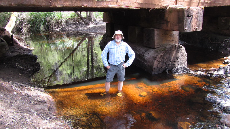
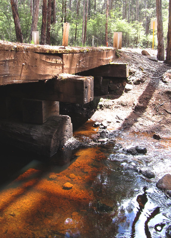
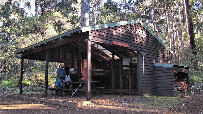
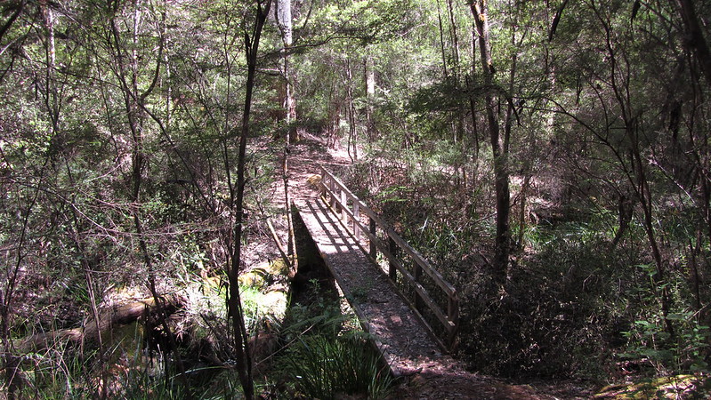
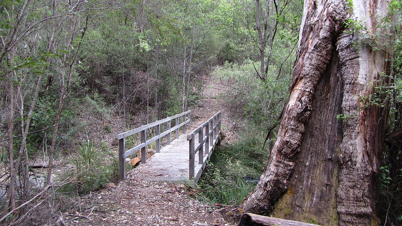
When we came down the other side, we were at Twin Bridges and on Tom Road. It was now just 2.9 km to the shelter along a good track.
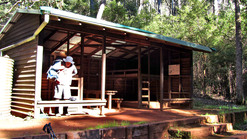
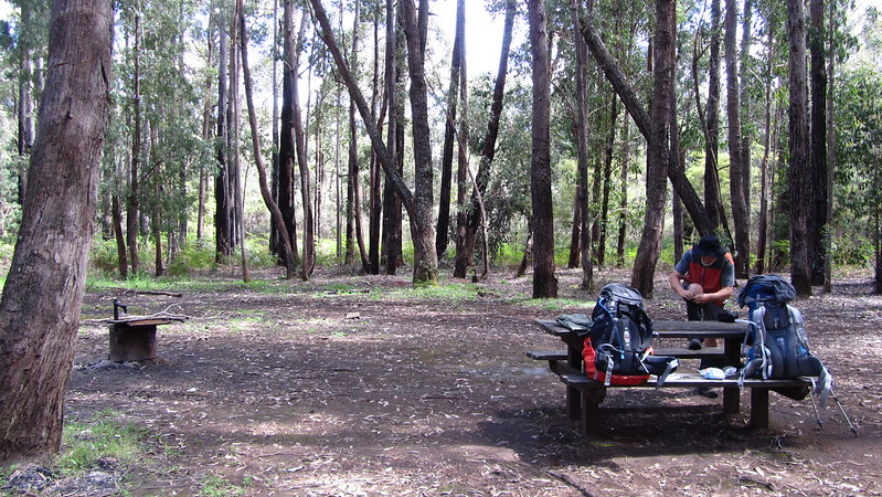
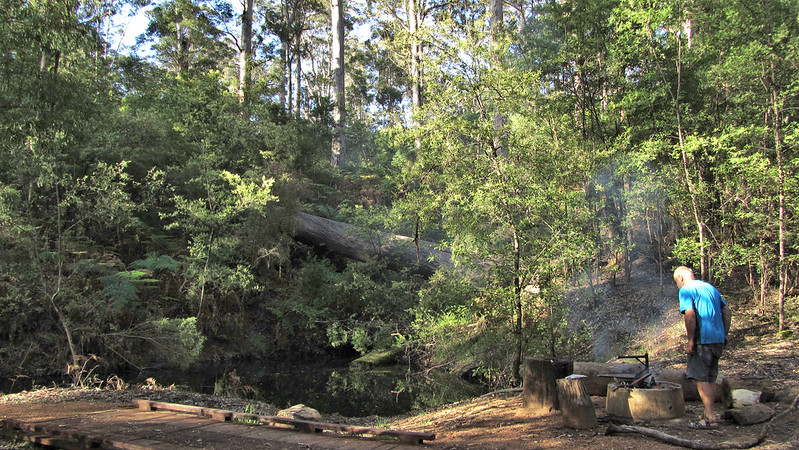
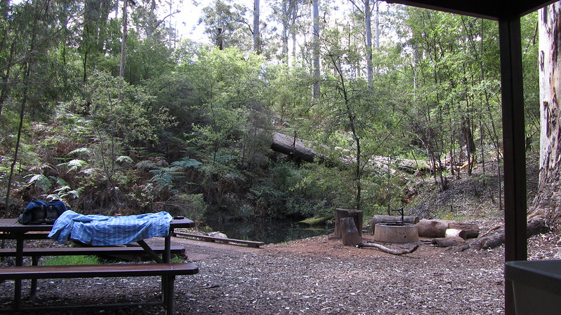
Arriving at Tom Road Campsite, we were pleased to see a well maintained shelter; probably the best so far, and a beautiful location by the banks of the Donnelly River. Had it been warmer, I might have considered a dip.
Andrew got a fire on early, and we relaxed, the thought of a 23 km day tomorrow, and a big climb the day after, at the forefront of my mind.
Thursday, 24th October 2013: Day 28
A milestone day with halfway passed!
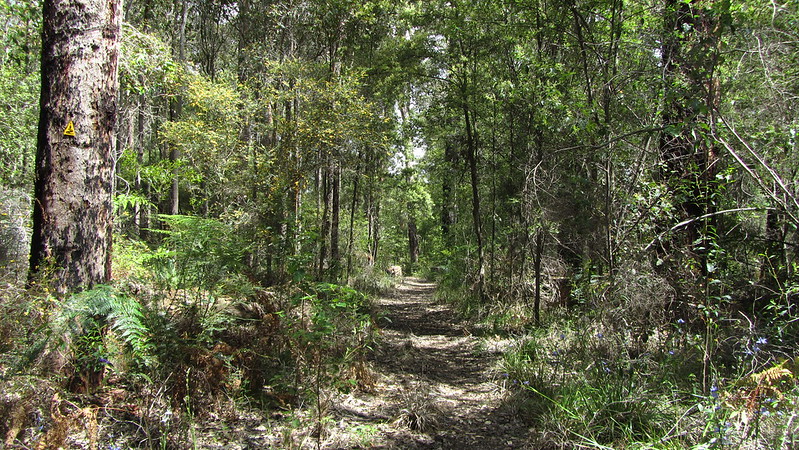
Up early and away at 7:10 am, we started the winding trail along the Donnelly River. Unfortunately, views were few and far between thanks to the foliage, but the track was good and had been cleared in the past few days.
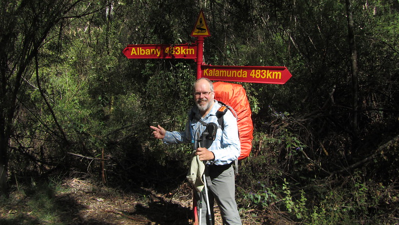
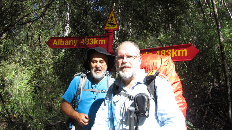
We reached the half way point at Cows Creek; 483 km done from Kalamunda, 483 km to Albany. We took photos and soldiered on. A few months after my thru hike the track was remeasured and it was found that it was actually 1003 km, further than originally thought.
Any sense of achievement was nipped in the bud as we reached the section between Green’s Pool and One Tree Bridge; fallen trees, a couple of Marri, meant we had to take off packs to negotiate them. On the plus side, I spotted another Tiger Snake!
We reached One Tree Bridge; the guidebook said a cafe was nearby and we optimistically hoped for bacon and egg butties, but alas, there was nothing to be found. All very disappointing.
Andrew was suffering. His feet were blistering again and we had to do some running repairs and take a break. I was keen to up the pace but I knew Andrew wanted to potter along with his feet so he said for me to go ahead.
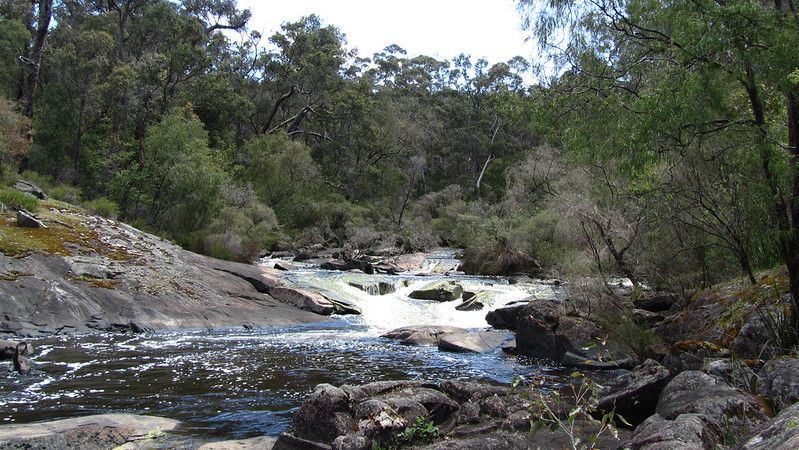
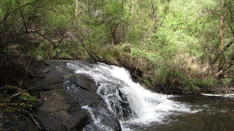
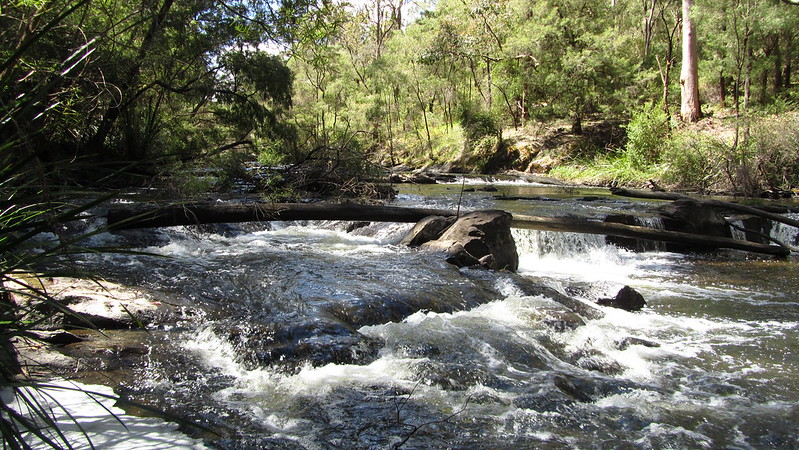
The remaining 12 km to the shelter was largely along a railway formation, and so the going was easy. I managed the distance in 3 hours, 4 km per hour, and stopped briefly, once, by some rapids.
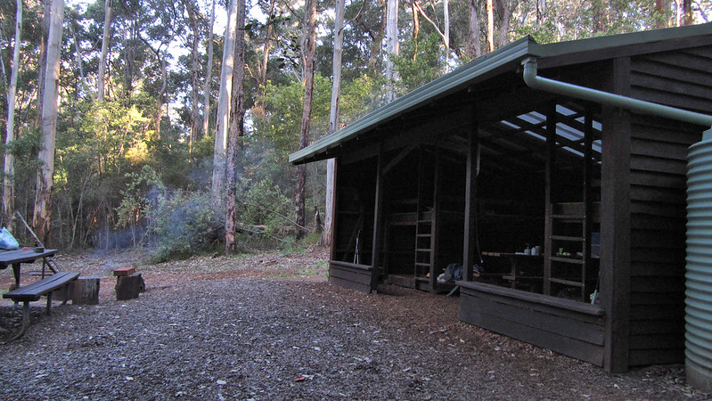
I was into Boarding House Campsite by 2:30 pm, a bloody good effort, I thought! Andrew came in 45 minutes later!
Didn’t spend much time sitting around the campfire this evening, I won’t go into too much detail but it was a hot day and it had taken its toll on the delicate regions to the point where it was uncomfortable to sit down. Best to let the Sudocreme work its magic!
Our evenings will change soon when we get to the last campsite where a fire is allowed.
We were in bed by 6:40 pm, both of us knackered, but it was a warm night and I didn’t sleep well. At about 10 pm, some mice moved into the bunk above. They were up all night partying and I had to move to the other side of the shelter about midnight to try and get some peace.
Friday, 25th October 2013: Day 29
Today was reputedly a day of challenging climbs and said to be one of the hardest of days. With that in the back of my mind I wanted an early start. Not as early as hoped, I was off at 7:10 am, leaving Andrew to walk his own walk at his pace.
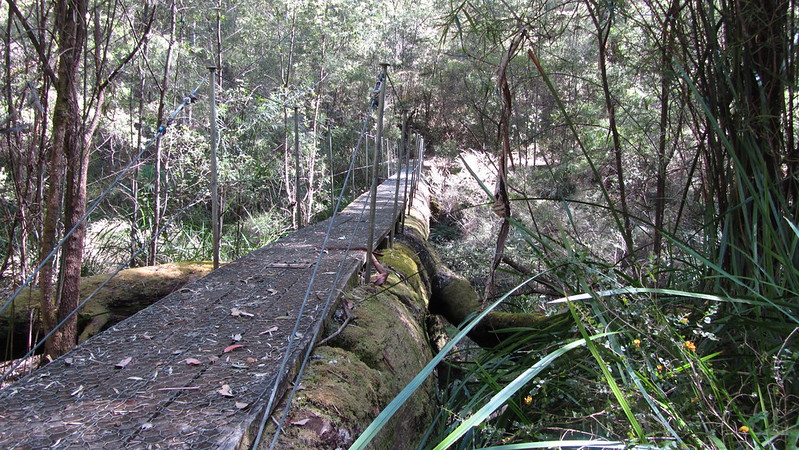
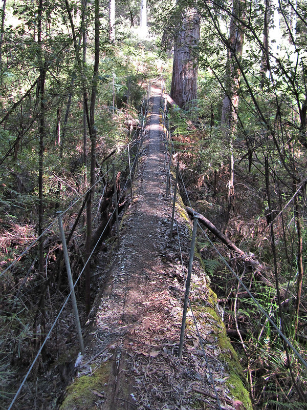
I was feeling good! Up onto Wirraway Form without stopping and down and over the log bridge at 8:30 am. I was at the Lease Road crossing of the Donnelly River by 9:15 am.
Now came the first really big climb. It didn’t pose too much of a problem; on the way I met “Cliffy”, a South to Norther, at the ripe old age of 74! After a chat about the flooded Pingarup Plains, which were only about ankle deep now, we said goodbye and I motored on down the very steep path to the next river crossing, reaching it by 10:30 am.
As I rested at the bridge, another hiker came through; he didn’t stop, just smiled, said “How’s it goin?” as Aussies do, and then “There’s a bit of a hill that way!”
“There’s a bit of one that way too!” I replied, and then he was gone. I was later to find, in the register at the next hut, that this was the famous “Pack Animal”, a serial end to ender who lives on the Bibbulmun. Such was his fitness, he was double hutting. I didn’t know what to expect of this celebrity, but I was pleasantly underwhelmed, he seemed just a regular 45 year old guy!
Now to the biggest climb of the day. It was a tough 150 m climb up a rocky gravel and mud road, and in the heat of the sun, I did go from shade to shade and rested about half a dozen times, but it was all over in fifteen minutes, and I was on a better path with little respite from the sun.
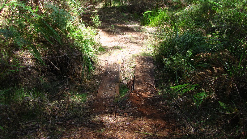
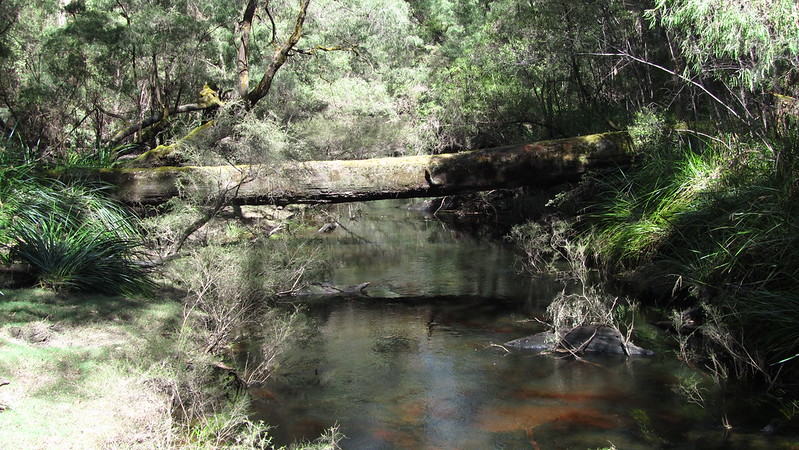
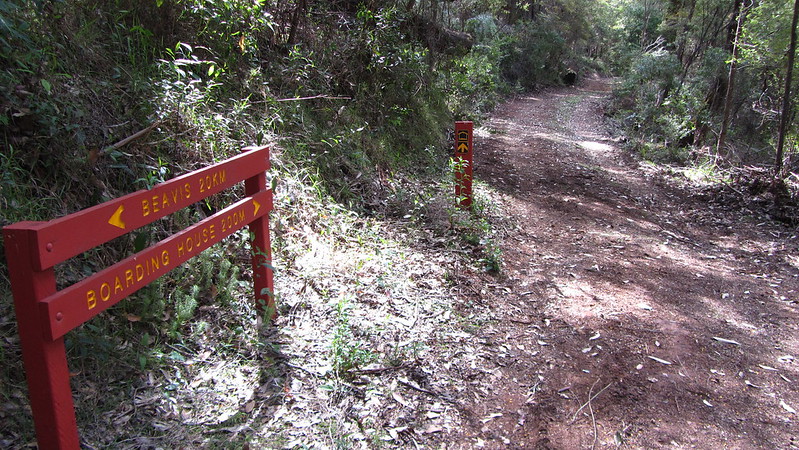
When I was eventually descending to the Donnelly once again, I had in mind to stop at one of the two marked bridges and take a refreshing swim. As it transpired, I never saw bridge number one and number two was two planks of wood over a dry bed! No matter, I was closer to Beavis Campsite than I thought and strolled in at 12:40 pm. Despite the hills, I still maintained over 4 kph!
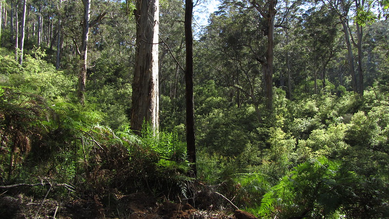
This campsite looks idyllic, set amongst tall Karris, but time will tell if the nearby pool will be a breeding ground for mozzies! Once I had unpacked and got myself organised, there was little to do but wash, have lunch, relax and enjoy the long afternoon, waiting for Andrew to arrive, which he did, 2 hours later.
The evening came; I was far too warm and about 10pm, gave up battling the mozzies and set up my tent. My night was a lot more relaxed.
Saturday, 26th October 2013: Day 30
Woke to find a rat had been into my gear, and had found my food. Fortunately, the critter had only managed to get into a sachet of oats so I had to forego breakfast.
Andrew’s foot was in a bad way and he decided he was going to abort. The only option was a 13 km walk to a road to hitch a lift or to go the 16 km to Karri Valley Resort. I decided to stick with him today, conscious that I was the only one with a mobile phone.
We set off about half past seven and straightaway it was obvious it was going to be a long day. Andrew was hobbling badly and I was struggling to slow my pace. So the routine was set; I went off at my usual speed and at significant points, or a handy log to sit down on, I stopped to wait and check he was OK.
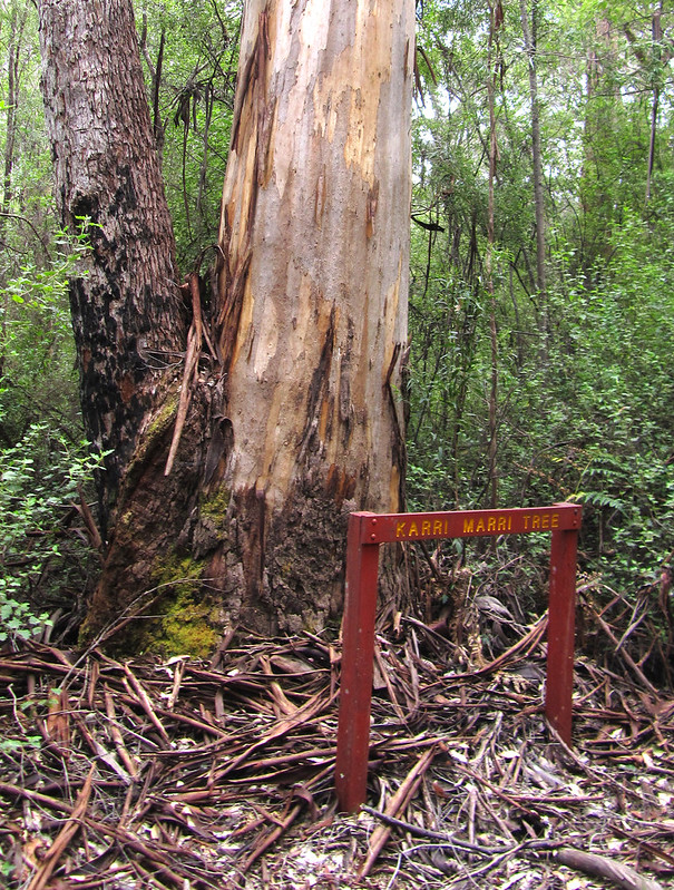
We passed the Karri Marri tree about 12:20 pm, and soon after crossed Carey Brook.
It was a climb up to Carey Road and down to Beedalup Road, then on further to Beedalup Lake. We left the track here, and I rushed ahead to see if the Karri Valley Resort had a room. If they hadn’t, Andrew would have to get a lift to Pemberton and I would have to backtrack and carry on to Beedalup Campsite. As it was, they had a room overlooking the wonderful lake, and we checked in.
I was last here in 1997, and I had half a mind to return to this wonderful location, but the room would have been a little too much for one person, so just as well Andrew and I went halves.
So, laundry got done a day early, I had a lovely steak in the restaurant, and I was all set up for the 26 km into Pemberton tomorrow, instead of the 21 km I would have had if I had continued on to Beedalup Campsite for the night. I would see Andrew in Pemberton.
Sunday, 27th October 2013: Day 31
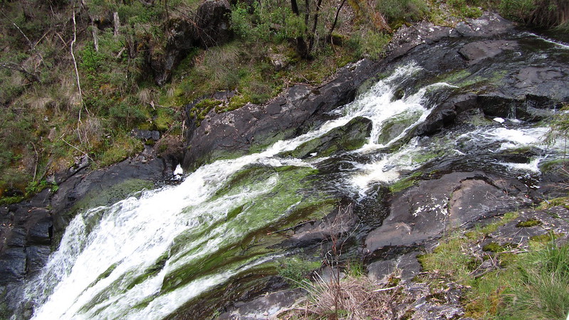
Shame that Andrew had stopped, but I had to move on. It was near half six when I left the Karri Valley Resort, and retraced my steps and was back on the track and was soon at Beedelup Falls.
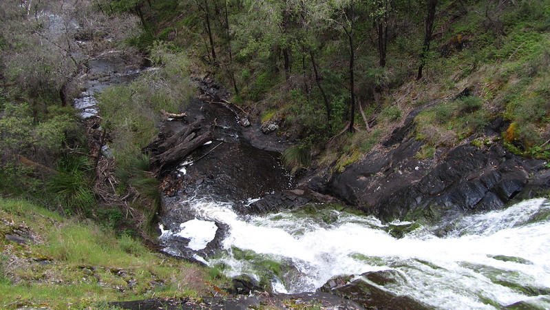
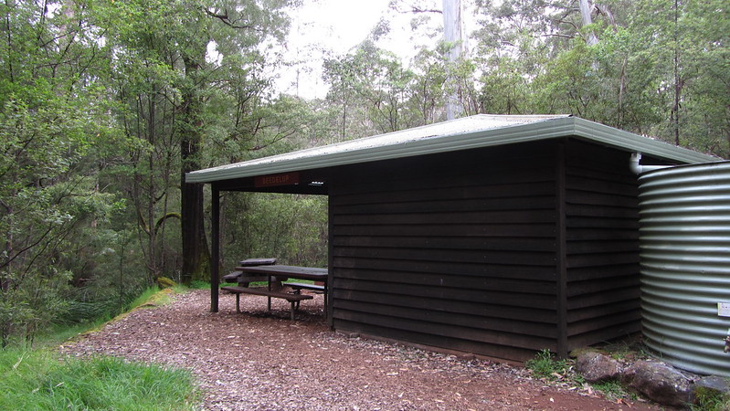
The path to Beedelup Hut was rocky and strewn with fallen trees making it frustrating progress. I reached the hut and signed the log book, albeit a day late.
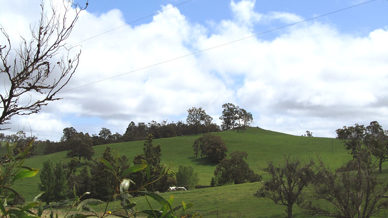
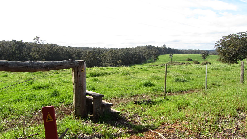
From the hut, it was a wide path and easier, and at the next major point, Stirling Road, I was looking out into a countryside of fields.
This respite from the trees was short lived, and especially cruel as I dropped into a dark woodland of tangled jarrah, a path carpeted by shredded bark and littered with branches hampering my way.
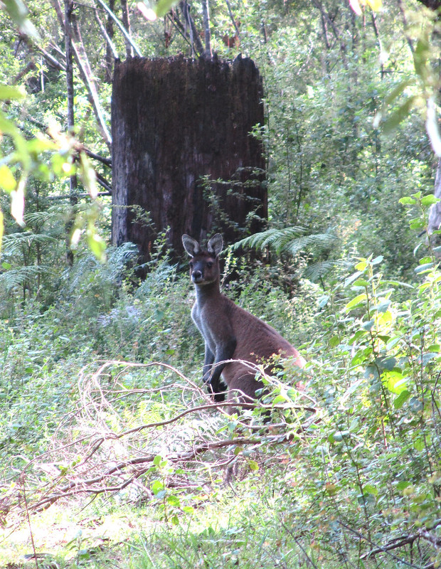
I did manage to come across a Red Kangaroo who spent five minutes on the track ahead of me as I slowly moved forward.
After 9 km of this woodland, I emerged into the light again, and although there was still a way to go, it felt like I’d cracked the toughest part of it.
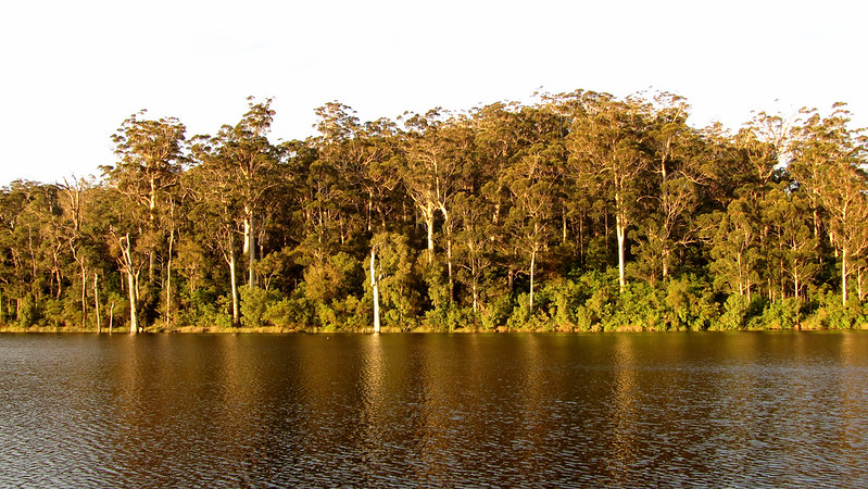
I passed down to the Big Brook Dam, via the Arboretum; a collection of pine trees from all over the world and it was a delight to smell the heavy scent of these trees.
The track along the dam was sealed to aid wheelchair users and the midday warmth of the bitumen appealed to a Dugite, who quickly moved as I crashed along.
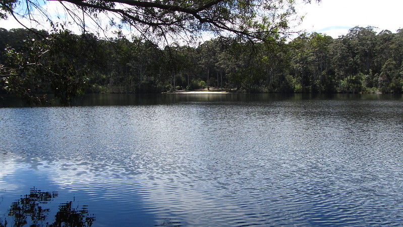
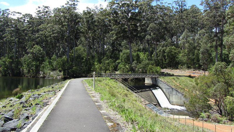
From the dam, up and over the last hill, and back into Karri country, following the Big Brook into Pemberton.
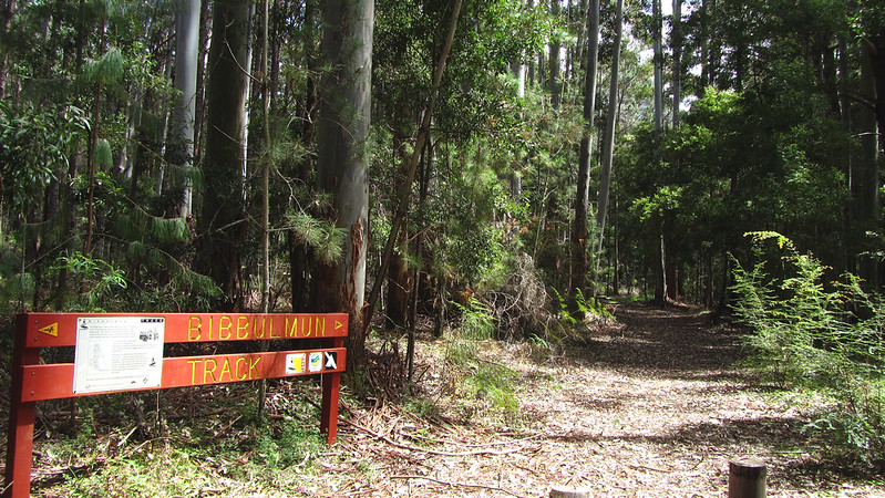
The walk to my motel was long, but thankfully on the Bibbulmun Track, and it will lessen my task when I continue next Tuesday.
Andrew was already there, and after a quick shower, we met up with Mikey down the pub for a few beers and a meal. Mikey was going to sleep in the bush to save some cash but I said he could use the floor of my room, it was a room for three anyway!
To be continued…