
And so, here is the penultimate section of my walk along the Bibbulmun Track for Epilepsy Action! From Walpole, through to Denmark, via The Valley of the Giants and Peaceful Bay.
Friday, 8th November 2013: Day 43
Walpole rest day. Slept in until 6:30 am and wandered down to the café about two hours later. Boots and Noddy had decided to stay an extra night due to a diversion which cuts out a day to Peaceful Bay. Saw Mikey and he was heading on, likelihood is I won’t see him until Perth but you never know what might happen.
Supplies bought, met up with Boots and Noddy for lunch in the pub, and then packed ready for an early start the next morning.
Saturday, 9th November 2013: Day 44
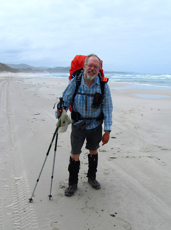
Somewhat reluctantly left the excellent Walpole Lodge, and retraced my steps through town to pick up the track where it enters the town.
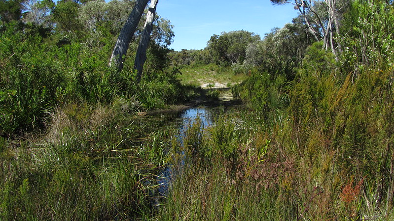
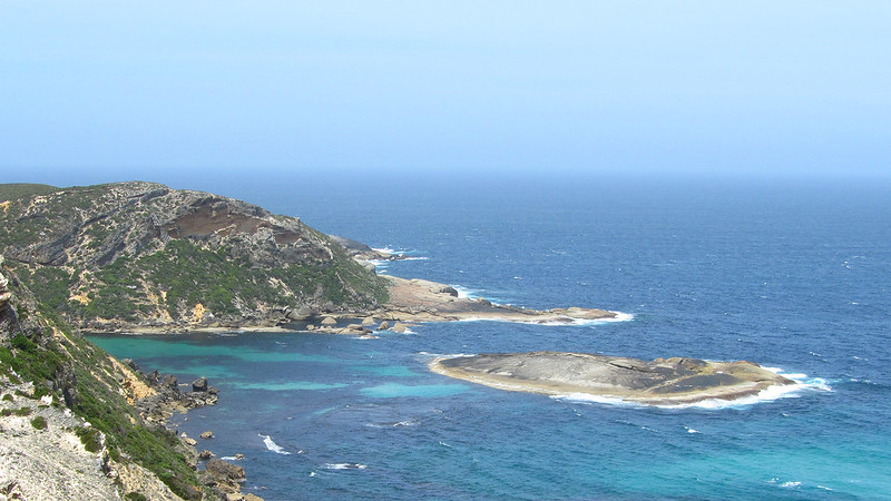
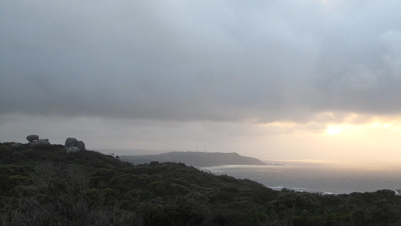
The inlet was beautiful in the early morning sun, and a joy to walk around.

Just as I turned to head for Coalmine Beach, I heard someone shout “hello”. I looked back up the track and saw an elderly guy walking behind me. He caught up and started a conversation, and said he would walk with me as far as the beach if that was okay. I saw no harm, and we chatted as we went. Charles was 74, and it was soon clear, despite him freely admitting, that he had Ausbergers Syndrome.
We reached the beach, and he decided to walk with me to the South Coast Highway. With the road behind me, I thought he would turn back, but no, on up the hill he came “just to the tall trees.”
I didn’t mind so much, but I did have a double hut in the back of my mind, and Charles was putting that in jeopardy. As the hill got higher, Charles finally decided to turn back, 7 km into the walk. He gave me his email and website address, and said I could email him if I wanted to. I was certainly intrigued to see his website.
I reached the hilltop lookout and was pleasantly surprised to see it actually had a lookout!
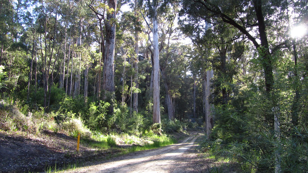
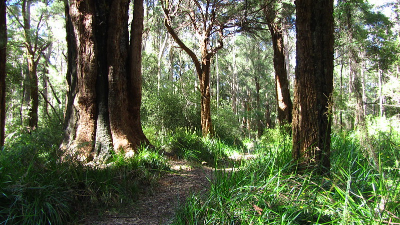
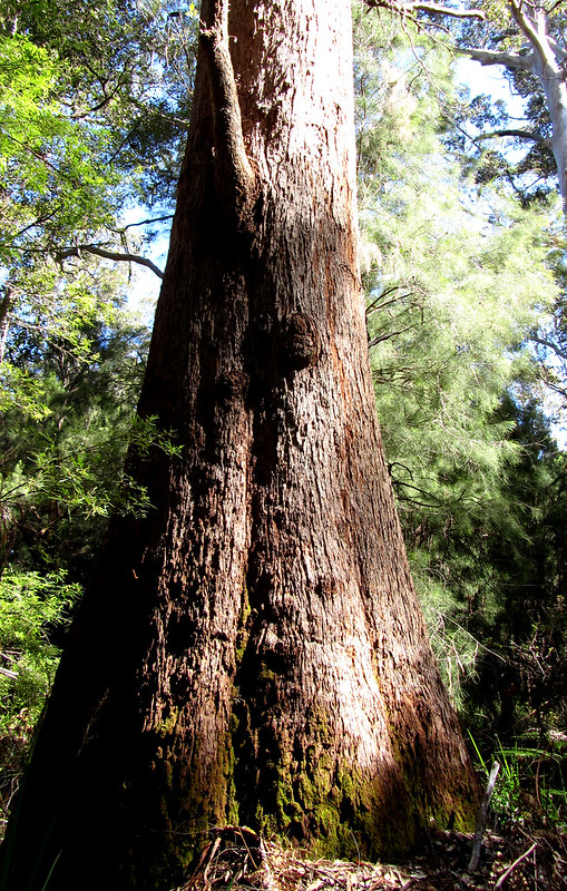
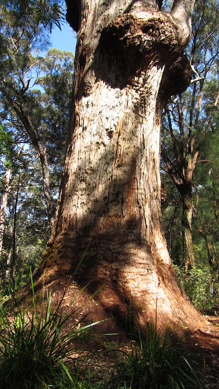
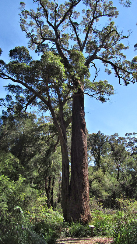
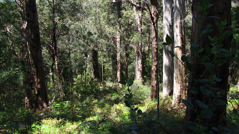
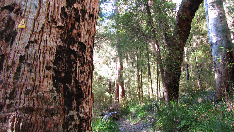
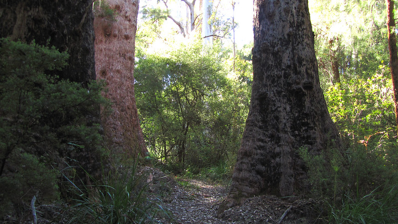
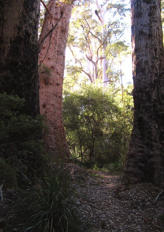
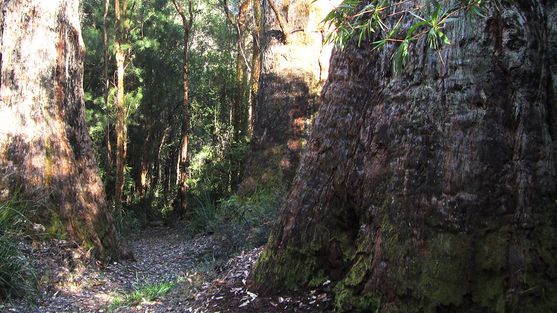
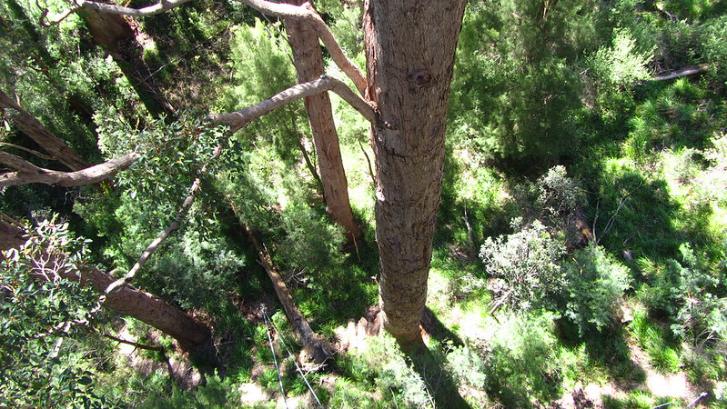
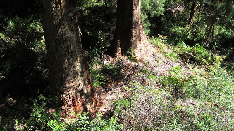
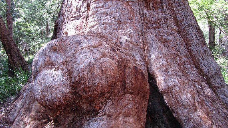
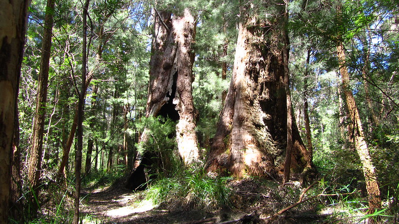
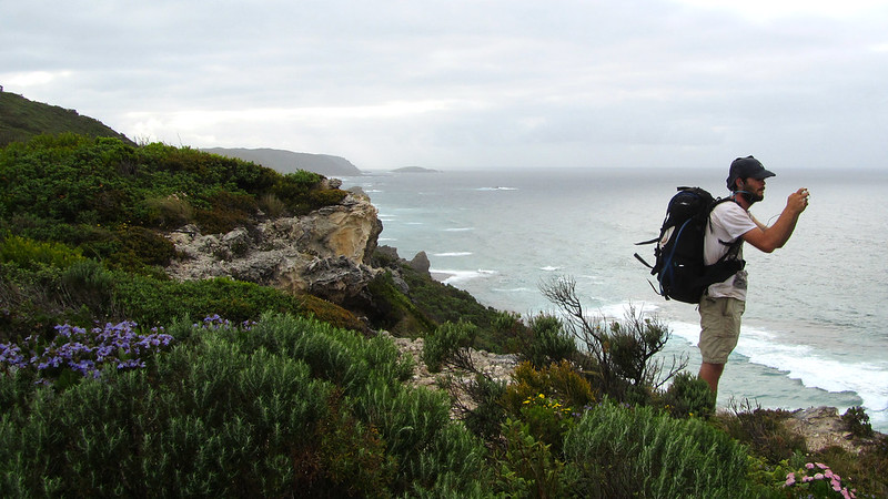
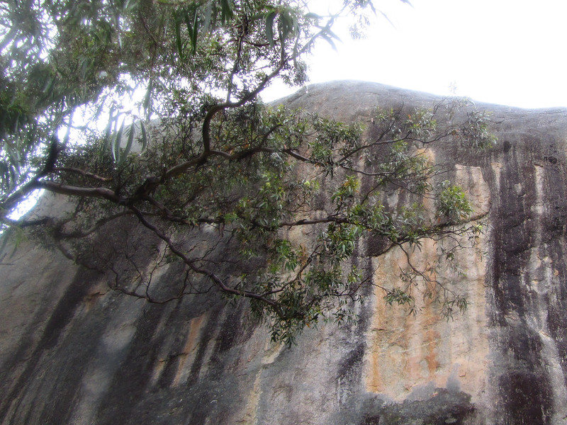
From here, the Tingle Trees terrritory really begins, and you are treated to some great examples of this remnant of the Gondwana Continent, when Australia was connected to Antarctica.
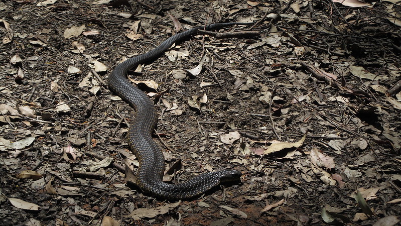
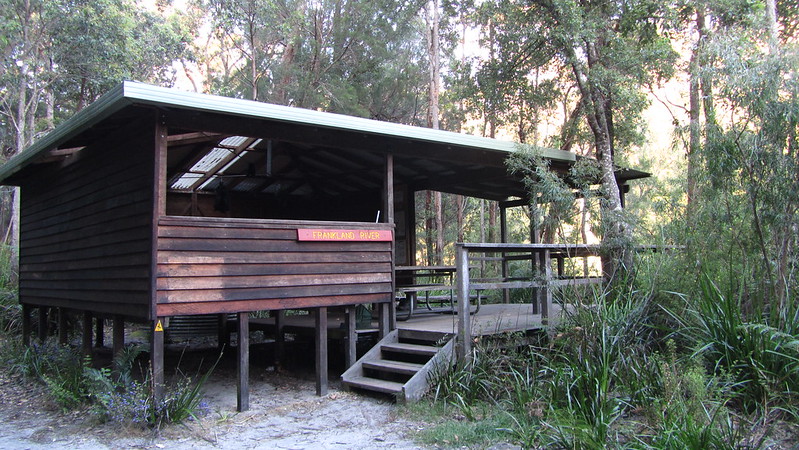
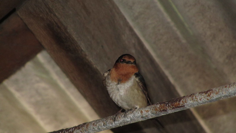
On my way into Franklin River Shelter, I spotted a couple of Tiger Snakes; one stuck around for a photo, before I went to pass him and he skulked off.
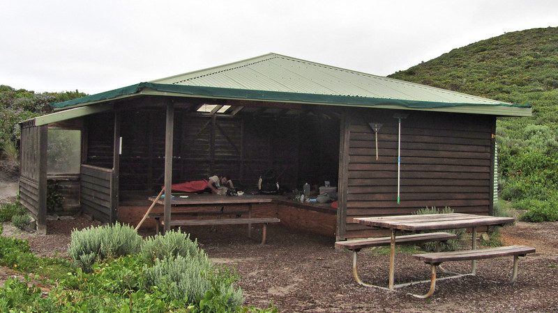
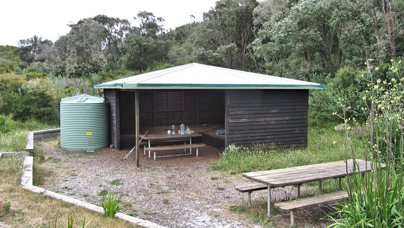
I was down at the shelter by 11:45 am. It was early, but the location was a good one and I decided to stay. Boots and Noddy came in a half hour later.
Sunday, 10th November 2013: Day 45
I was away by just gone six, said goodbye to Boots and Noddy, as I was keen to miss out Giants shelter and get the diversion to Peaceful Bay out of the way.

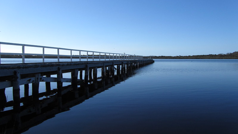
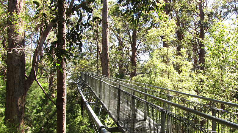
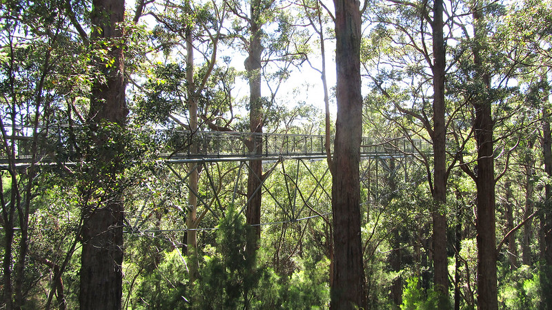
I passed Sappers Bridge and was making good time to the Tree Top Walkway, arriving at 9:15 am. I have been on the walkway three times before, the last time was April 2012, when I managed to get my mum on it. It takes you forty metres high into the canopy, giving a birds eye view of the Karri and Tingles.
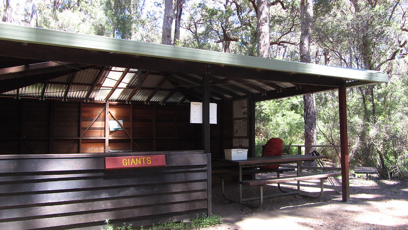
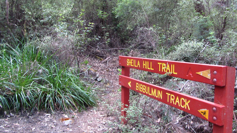
An hour and a bit later, passing the track sign that had piqued my interest in the Bibbulmun all those years ago, I headed off to Giants Campsite.
I was surprised to see in the log book that Mikey hadn’t stayed last night; I guess he had the same idea as me. I topped up my water and headed off.
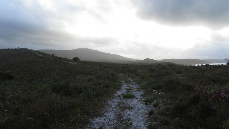
Up over one final hill, with plenty of Tingles along the route, then down to cross the South Coast Highway, where the diversion began due to controlled burning. It was a two hour baking hot, fly infested, 10km road walk!

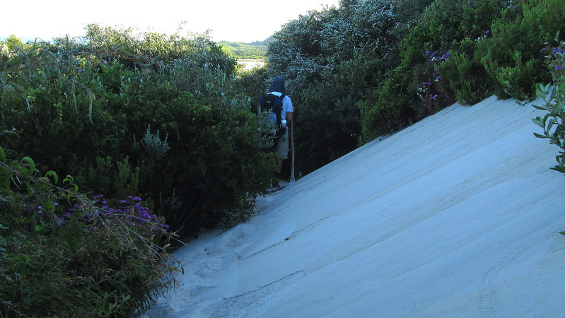
I reached where the track diversion ended and had to endure some soggy sections and the dreaded sand dunes, before arriving at the Peaceful Bay Caravan Park. Exhausted, I booked in, but the place was full and the backpacker caravan was full. It turned out that Mikey was here and hadn’t double hutted, but had filled out the log book incorrectly, so I was able to crash in the caravan after all!
I picked up my food parcel and the very last map of the trip; Albany was now just 9 legs away, even less if a double hut is taken!
Monday, 11th November 2013: Day 46
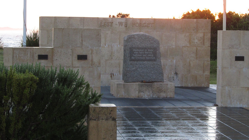
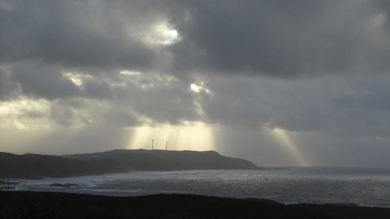
Up from a restless sleep at 4 am, we were on our way before dawn, with the prospect of a hard day of sand dunes and high temperatures. Time to watch the sun rise and spare a thought for the fallen on Remembrance Day.
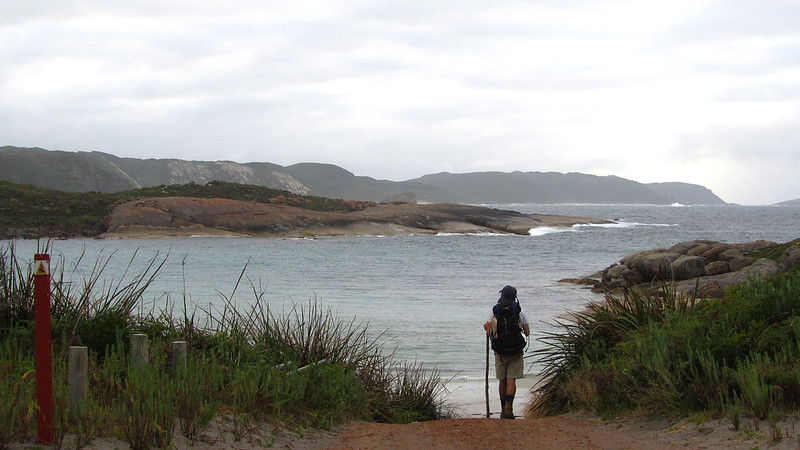
The walk out to the crossing point of the Irwin Inlet was a good couple of hours and the mercury was already starting to rise.
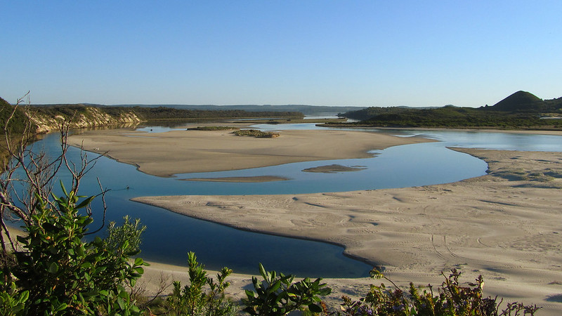
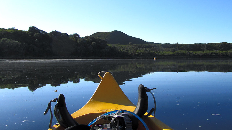
We could have probably crossed the seasonal sand bar at the inlet mouth, but I think we were both looking forward to a canoe crossing. We reached the canoe shelter and the crossing was drama free, and if anything, a little too short.

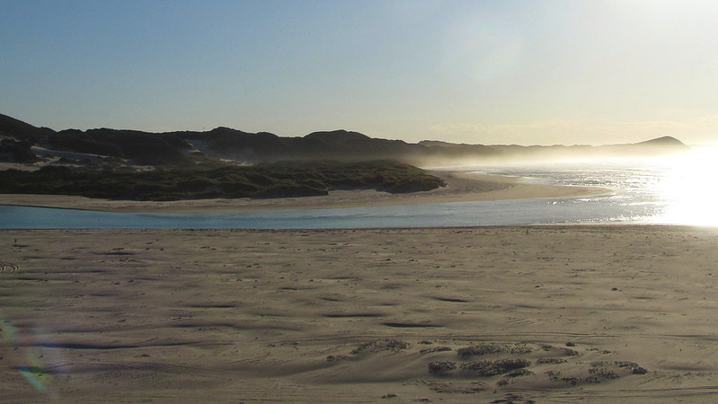
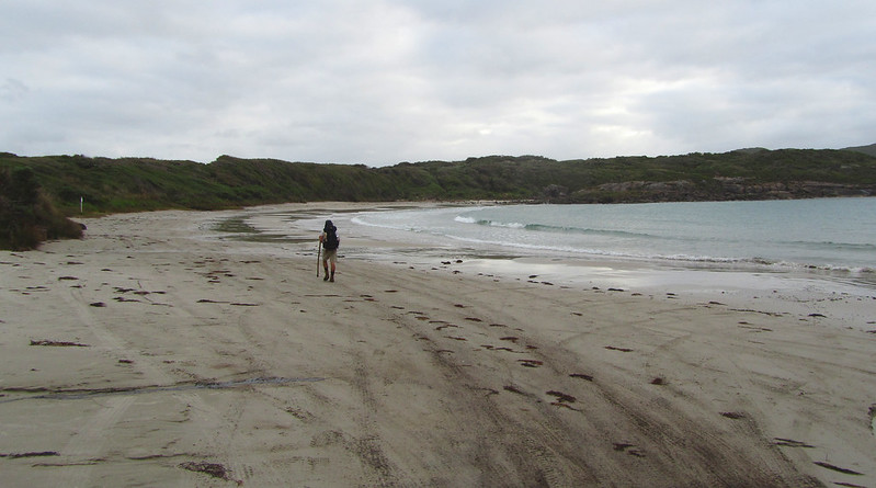
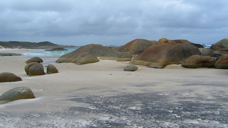
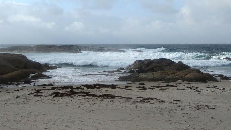
On the other side, there was a fairly good four wheel drive track for part of the way, but as we were about a kilometre from Big Quarram Beach, it got tougher.
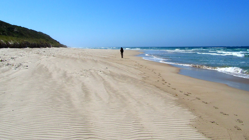
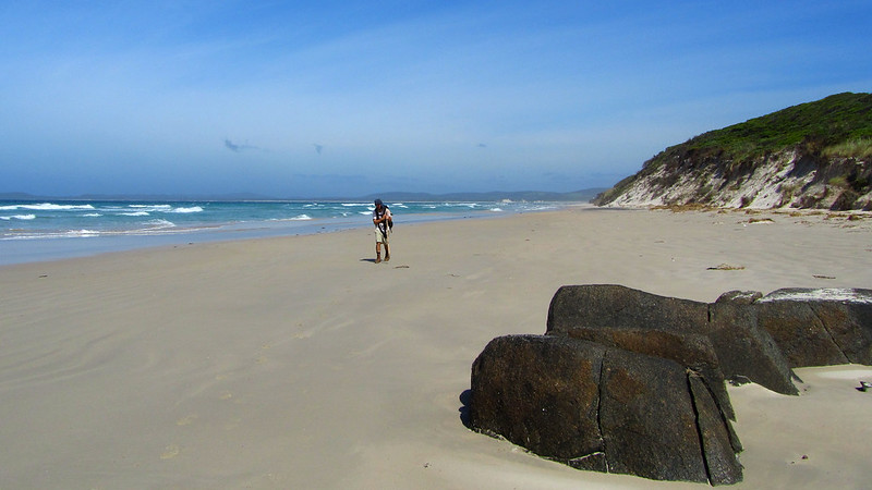
Down on the beach, we only had a couple of kilometres on very soft sand, before we were up, over and down to Middle Quarram Beach. Here, the sand was harder, and in sticking to it, we missed the waugal and had to retrace our steps when the beach ended.
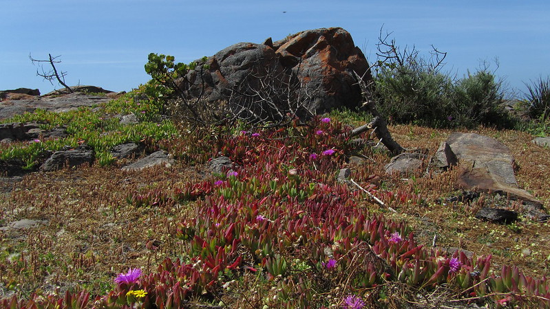
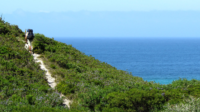
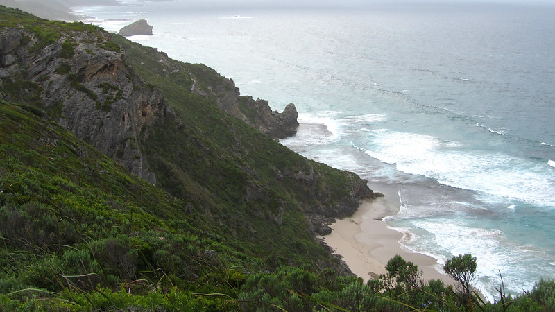
The dunes from here were my undoing. My frame of mind was negative and, in the heat, I was in a foul mood. Still, the views were stunning, but they were well earned!
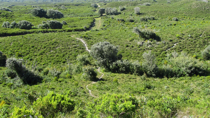
I eventually pulled myself together and went into automatic gear, trying to concentrate on anything but the bloody sand! It worked, helped by the last section being used to test erosion prevention techniques and therefore more stable paths.
I took the last drop of water from my hydration bag as I descended into camp!
I was shattered, and for the first time on the trip, I even had an afternoon nap!
Tuesday, 12th November 2013: Day 47
It had been a humid night, but the cloud cover promised lower temperatures for the walk today.
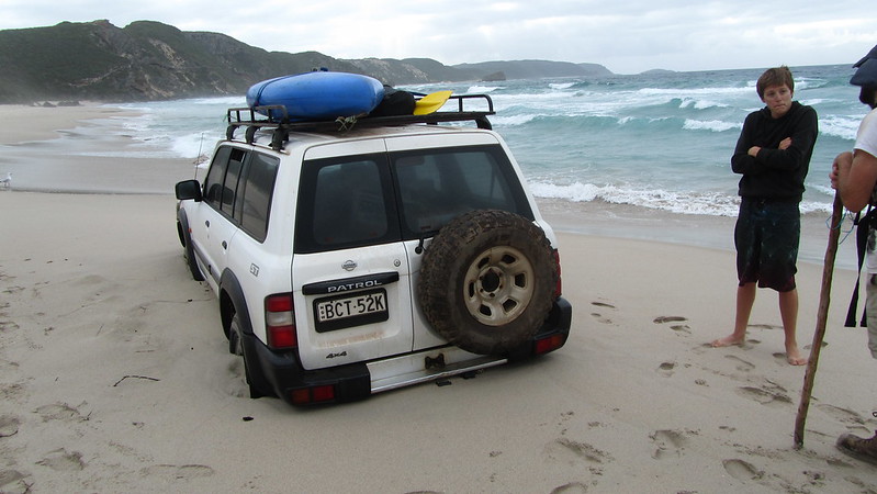
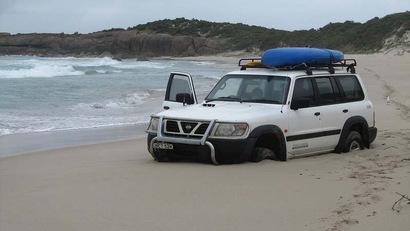
We were off at 6:10 am, and at Boat Harbour we bumped into a guy who had got his car beached and he had spent the night there. Why he didn’t just nip up the nearest dune and get a phone signal, I don’t know, but maybe he was a little embarrassed!
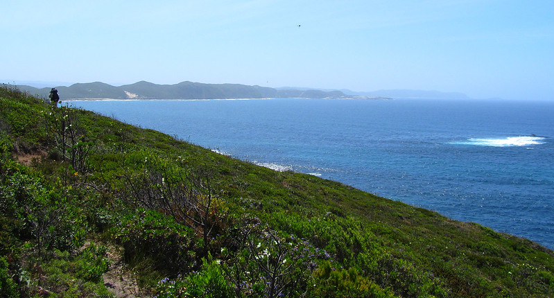
Once again, I struggled on the dunes, whilst Mikey raced ahead. Still, the views made up for the hardship, despite the murky conditions, but I would rather murky than sunny today.
We made good time into Parry Beach where Mikey was waiting for me. After a break of about 45 minutes, chatting to some people staying at the camping ground there, we had another inlet to cross; Parry Inlet. This was a doddle; the sand on the beach was hard and the sandbar was good, meaning the water was knee high at its deepest.
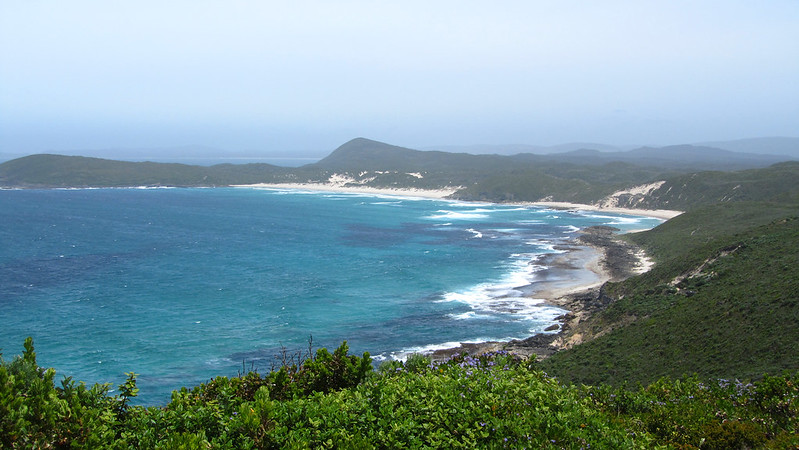
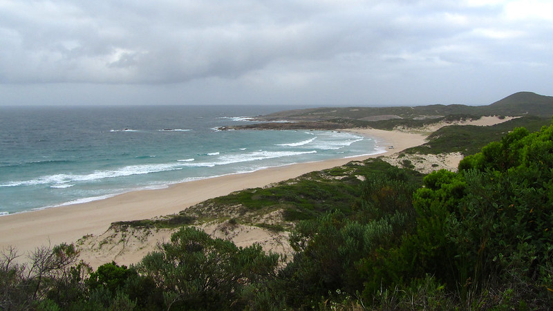
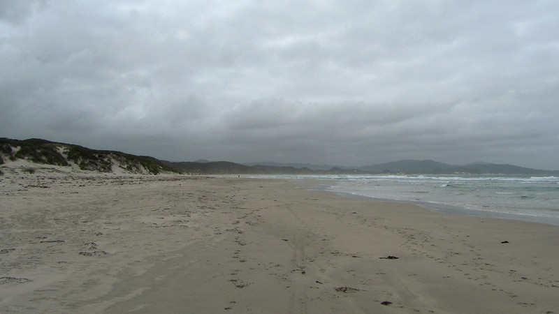
The first five kilometres of Mazzoletti Beach were good and firm. It wasn’t until we both commented as much, that the terrain changed, and it was more of a challenge for the final three.
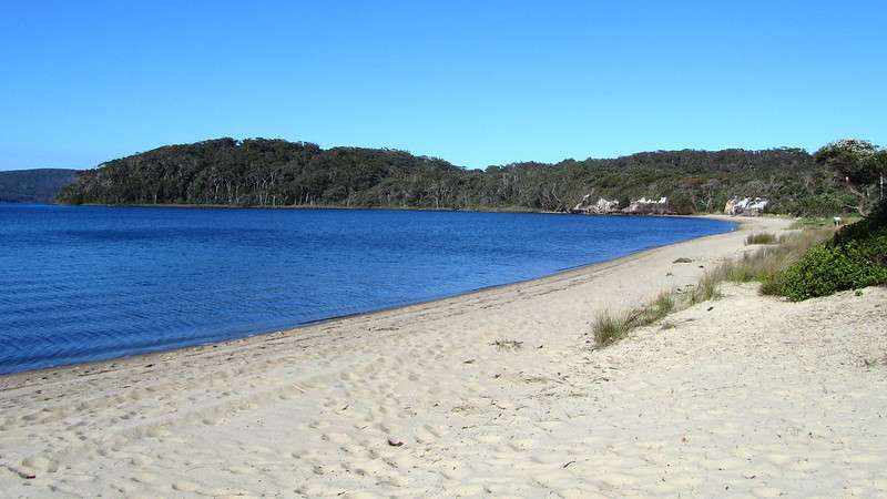
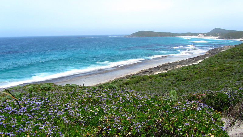
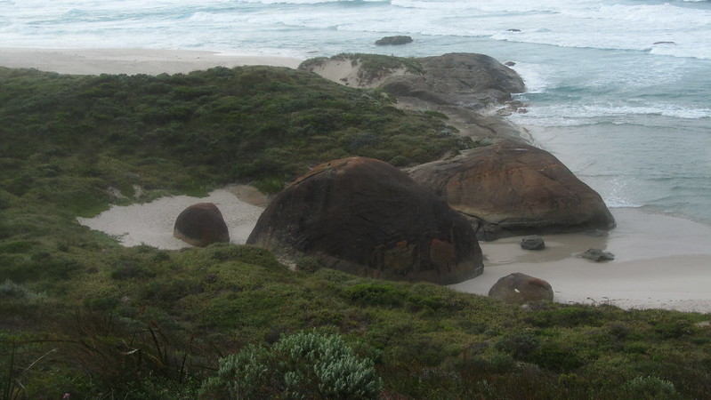
As it was, it took us a couple of hours to reach Greens Pool.

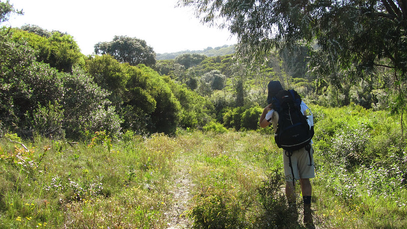
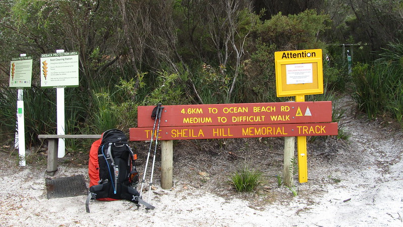
Here, Mikey was going to be staying with some relatives of a friend, and so we parted. I climbed up Tower Hill to the William Bay shelter, whilst he wandered down to the beach while killing time for his lift. Next possibility of us meeting up might be Denmark, or I might possibly catch up with him at the last shelter before Albany.
I was there before one in the afternoon. Read and relaxed for the remainder of the day.
About 6:30 pm, just as I was starting to think about downing my kindle and turning in, an American girl called Moss turned up, after hiking from Denmark. 15 minutes later, from the opposite direction, came her friend, Gypsy; an Australian woman. They were trail mates from the Appalachian Trail and the Pacific Crest Trail, and I was humbled by their thru hiking experience.
Wednesday, 13th November 2013: Day 48
Denmark today and a rest day tomorrow to look forward to! I was off by 5:10 am, pleased to be hiking in the cool morning as the sun rose.
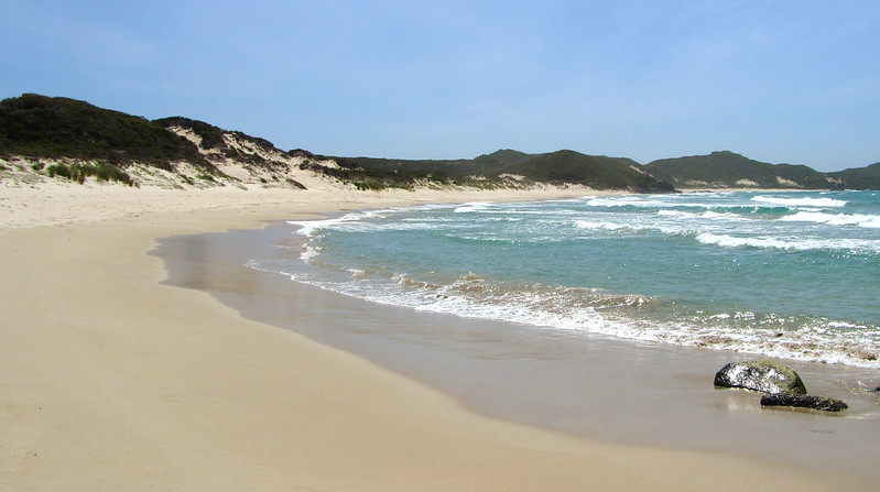
First up was Lights Beach.
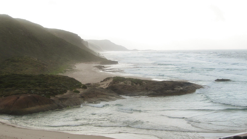

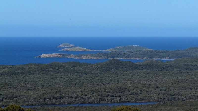
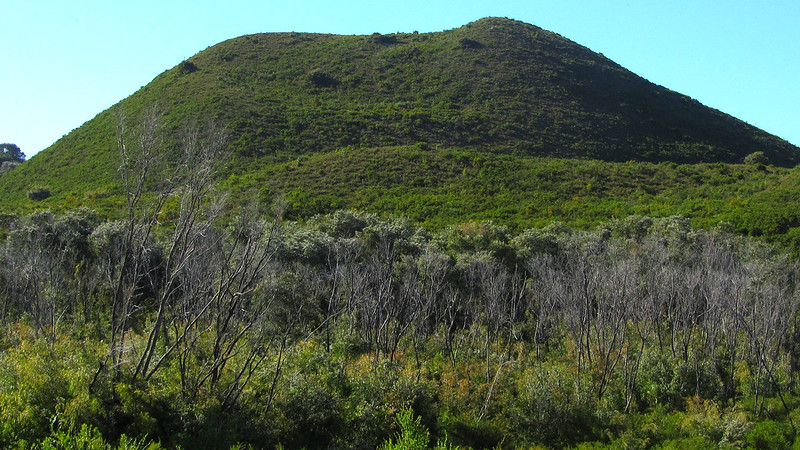
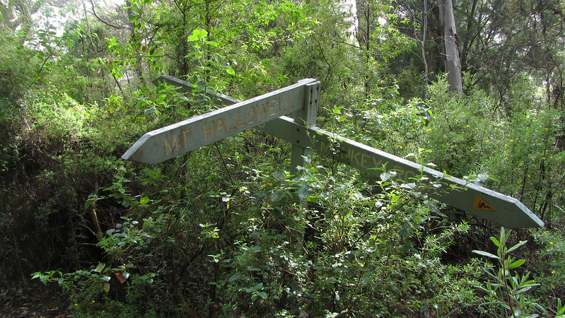
As I made my way along the coast, to my left, looming large, was the 220 metre ascent of Mount Hallowell.

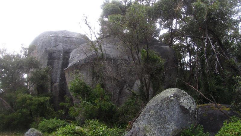
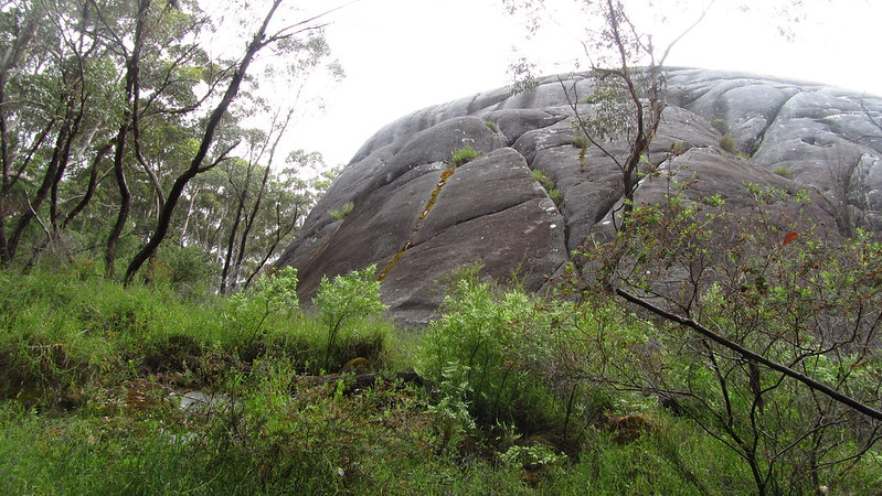
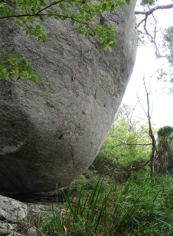
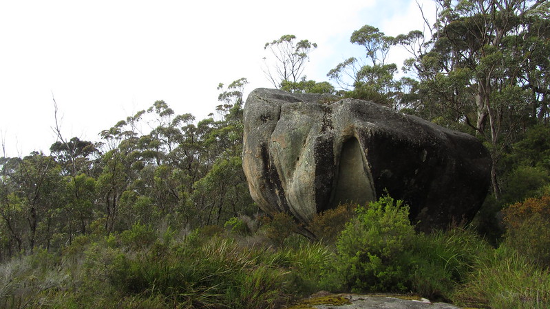
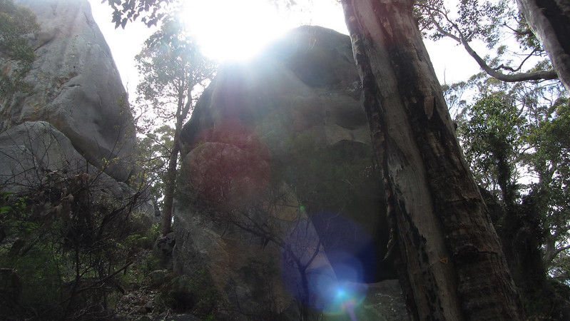
When I finally reached it, I rested and then started up the hill. It was a gentle gradient, on sometimes rocky paths, to a prominent granite outcrop called Monkey Rock.
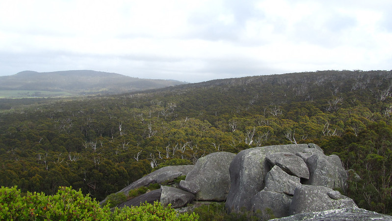
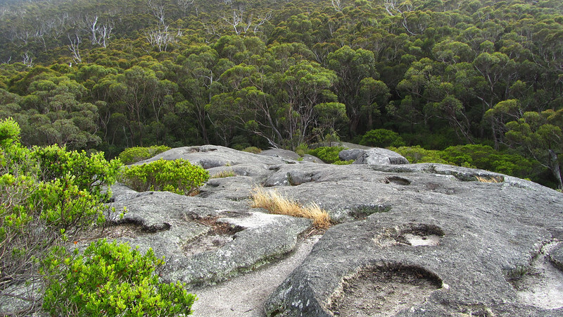
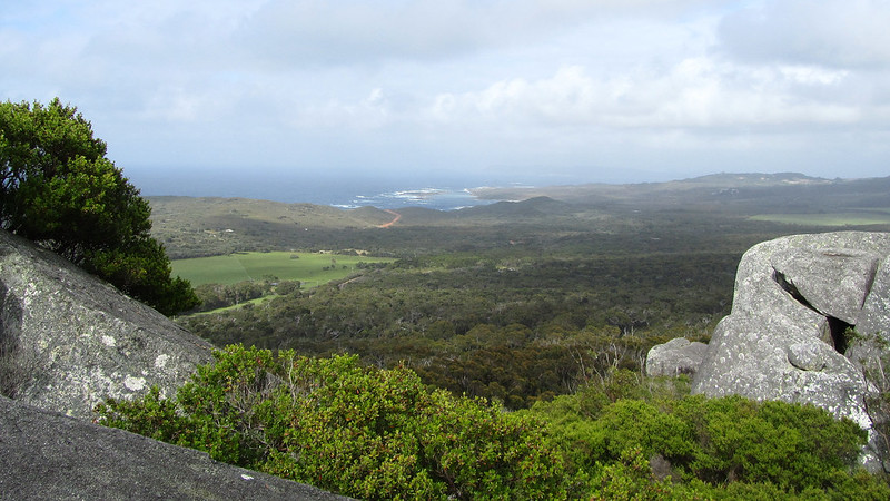
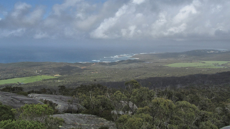
From the rock, I climbed higher, passing more impressive boulders, until I came to the top. I dropped off my pack and took the short walk to the summit.
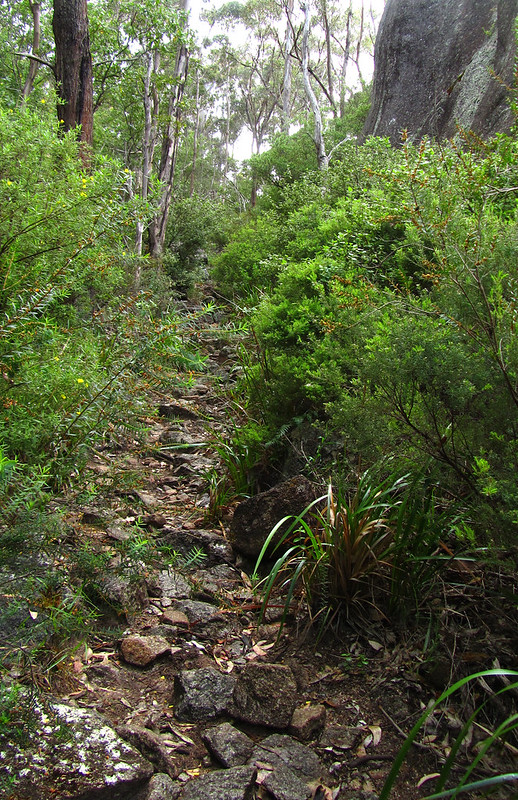
The climb down was difficult. I thought the fallen tree problem would have been behind me, but no. The granite was taking its toll on my sodden feet, and by the time I had reached the bottom they were starting to “trench” up.

I was on the outskirts of Denmark now, but still 6 km to go through suburbia, along the inlet, and down some back tracks. It was good to reach the trail head for the town, and complete the final ten minute walk to my accommodation.
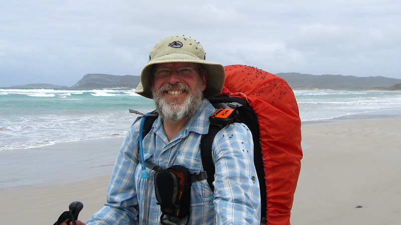
Another section done, I checked in and took my time trying to restore my feet to some semblance of normality.
To be continued..