
“Other piles have also fanciful names attached to them, one being known as Harton’s Chest, and another as The Foxes’ Yard. A rock near the river, and not far from Foxworthy Mill, bears a name which should render it a fit companion to the Parson’s Loaf. It is the Round of Beef, the very sound of which is calculated to arouse anticipations of the most pleasing kind in the mind of the visitor who has been wandering all day on the moor.” – William Crossing from ‘Gems in a Granite Setting’.
Today was to be an adventure in Lustleigh Cleave, as two of those piles named have long been lost. Searching for a couple of outcrops that are elusive is, for me, akin to a treasure hunt, albeit one where the prize is doubloons of granite rather than gold.
But first, starting from Yarner Wood, I had to get to a particular place before my search would begin.
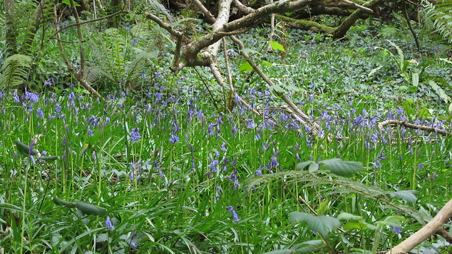
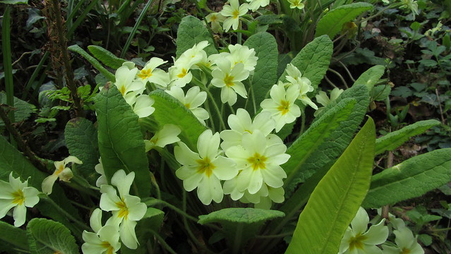
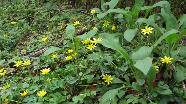
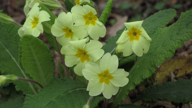
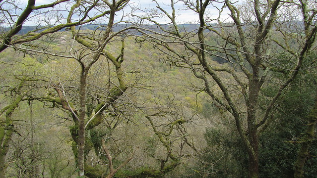
On my way, I was distracted by the emergence of the first bluebells I had seen this year, as well as fine displays of wild primrose. The day improved when I also found two large outcrops that I have not heard mentioned, which I later leanred were part of Lustleigh Cleave Lower Sharpitor; it proved a good start to the day.
Eventually, I made it to my start point. To find Foxes’ Yard, Crossing gives a pretty good description of the route from the path below Sharp Tor in his excellent ‘Guide to Dartmoor’;
“..we follow the path down the hill, avoiding the branches L., and passing some rocks called the Foxes’ Yard (L. of the path and half mile from the tor) shall be led to Horsham Steps.“
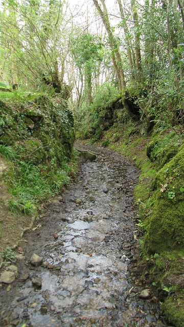
Ordnance Survey maps mention the yard, but it looks to be attributed to the area between the path and the River Bovey below and not one rock pile. I took my time following the path marked on the map, which doesn’t match reality on the ground.
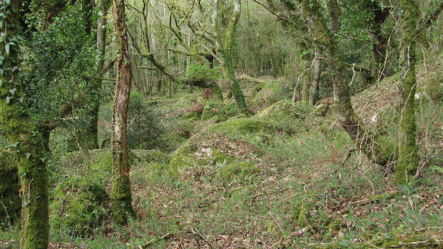
It seems that, at some point, the bridleway has been rerouted because my way was overgrown, the track was lost at times, and I had to keep a close eye on my GPS, which was coping within the woods admirably thanks to the lack of a canopy.
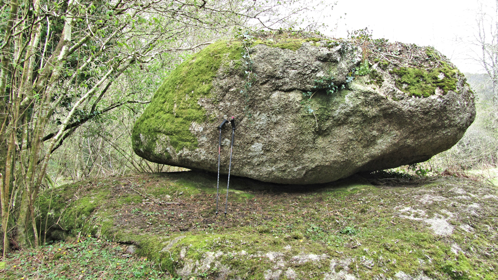
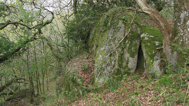
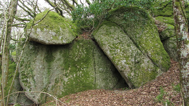
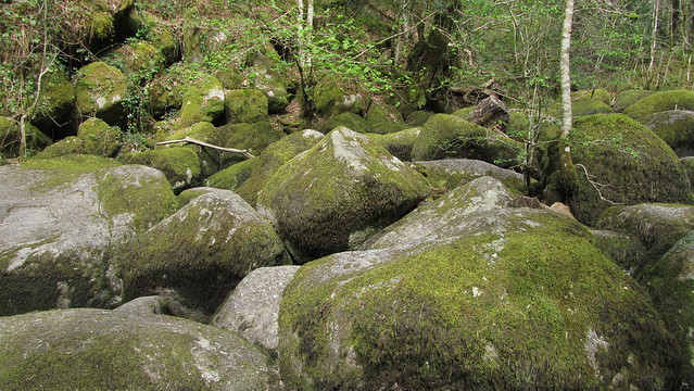
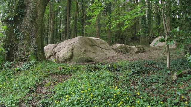
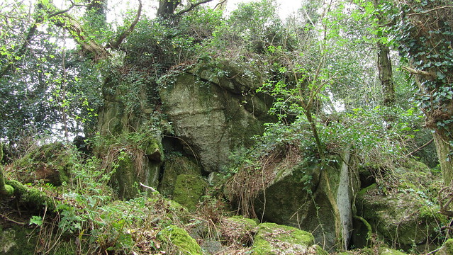
It is apparent why the Foxes’ Yard pile proves elusive; the area has many scattered granite boulders and distinguishing one to specifically name is not an easy task. I started to discount candidates as I came across bigger outcrops. One really did catch my eye but it had a flaw in that it sat the wrong side of the path, as previously described by Crossing. But then, maybe back then, the path passed the other side!
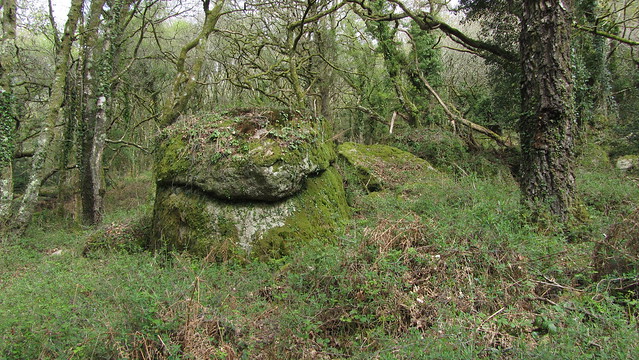
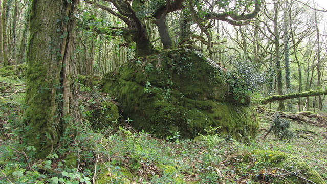
Still, I clambered around the outcrop, and stood atop to survey the woodland below me. This proved fruitful, as about fifty metres away I could see a large tree growing out of another pile. I went over to check it out.
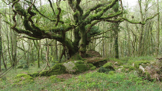
It certainly sat to the left of the path and when walking around it, I could see it was a very distinctive outcrop, the tree adding character. It was the best I had seen so far.
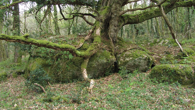
Whilst I had not gone over the area with a fine toothed comb, I think the visibility was good enough that I would have spotted a better outcrop, but I did not. It’s supposition, but the best we have at the moment and I took a short video of the outcrop:
I turned my thoughts to the next lost rock. Crossing says;
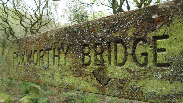
“..here we turn L. to Foxworthy Bridge, a clapper spanning the Bovey, on the bank of which, just below is the mass of granite known as The Round of Beef..“
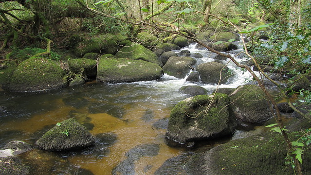
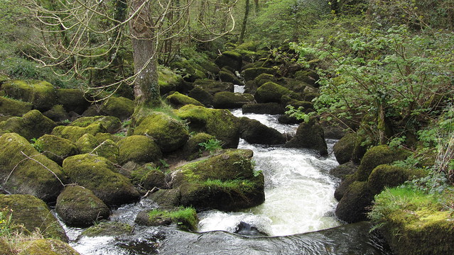
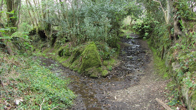
On my way to the bridge, I took a side trip to Horsham Steps. Here, the River Bovey literally disappears beneath a bed of large boulders making it possible to step across the river without seeing it beneath your feet.
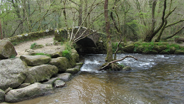
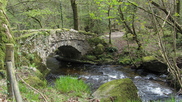
Back to my quest, passed Foxworthy Mill, I left the woods at a road that led to Foxworthy Bridge. On arrival at the bridge, you’ll immediately notice it doesn’t look like a traditional clapper!
There is a listing on Historic England for the bridge. It states; “Farm track bridge leading to Foxworthy over River Bovey. Possibly of medieval origin with successive re-buildings the last of which was a widening on the up- stream (north) side reputedly in early C20. Large granite rubble stone construction incorporating river boulders with roughly-hewn granite lintels. Two span bridge with the main channel having found its way through the bank on the west side and the main spans now serving principally as flood arches. Granite piers constructed from river boulders, some massive, with lintels in the form of clapper bridge with rough granite rubble low parapets.“
Tim Jenkinson has told me that it is believed that the Round of Beef was ruined when the bridge was widened. There is so much granite along the banks, it is difficult to identify anything that stands out. The banks are also out of bounds to the public and foliage hampers seeing too far along them. It would be a shame if the outcrop has been lost but it would have made sense to use the materials close to hand when the widening took place.
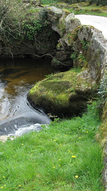
There is a huge boulder supporting it where the river has made the second span mentioned. I considered it as the Round of Beef but I think this is likely a part of the original structure, so we can only hope something lies within the trees.
I stopped here for lunch, a pleasant spot in the sun. I looked at the map and plotted my journey back to the car. My simplest route would take me passed Water Rock, another outcrop mentioned by Crossing and, based on his writings, recently found by Tim Jenkinson. I had been before, but I would revisit this tor, within Woodash, on my way. Little did I know that I would find another outcrop, en route, that would make me think of the origin of the name and wonder if what Crossing had seen was the real Water Rock.
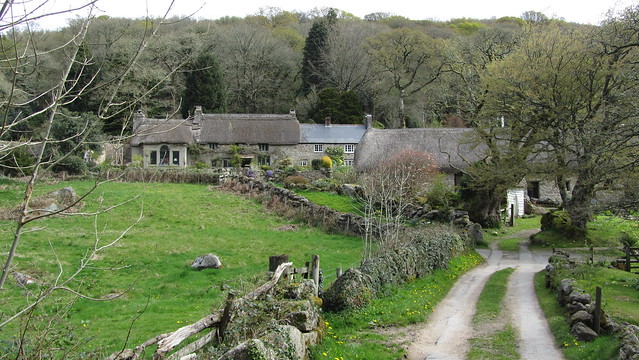
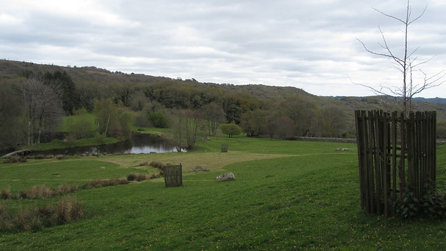
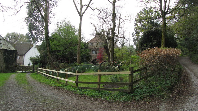
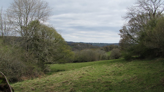
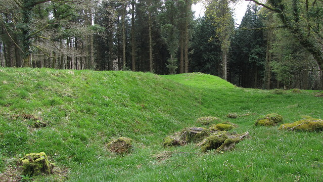
I began picking my way back to the car. It’s a trail through the East Dartmoor Nature Reserve through Horsham Cleave and up to Horsham itself. Through the woods you come across some parts out of keeping with the wild feel of Lustleigh Cleave, such as a huge area of landscaped ground and an orchard, both of which look far too ordered for the surroundings.
I had reached the settlement of Water, with its mill and charming farmstead, and noticed its very own rock situated outside the drive. With plenty of outcrops in the area, it made think of the sterling work of Tim Jenkinson and how he managed to discover Water Rock, in Woodash, near the hill camp.
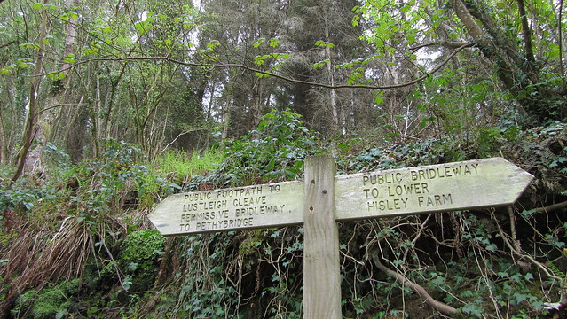
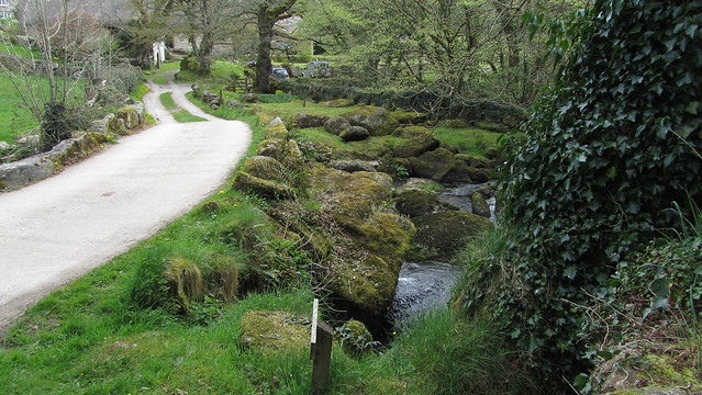
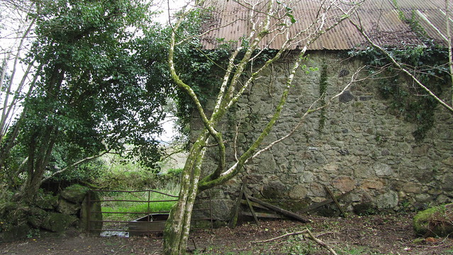
As I left the settlement, continuing my journey along a narrow lane, I came to a fork. A quick map check, the bridleway left headed down, towards the footbridge across the Bovey, and I followed it down the sopping rocky surface through a gate and to a farm building.
I stopped here. Beginning to tire of a shaded woodland, I looked longingly over the barbed fence to my right, into the welcoming light of the open fields. As I eyed the scene enviously, I spotted an outcrop. It looked large, but a tree hid its full extent; it intrigued me. I thought back to the fork in the lane, wondering if the other way would get me closer and proceeded to return up the hill.
Upon reaching it, I quickly found the other lane stopped at a barred gate to a field with sheep. I couldn’t see the outcrop from here, it was still a couple of fields away. On the map I noticed a track that branched off left, just before this gate, and appeared to go further around the hill. The gate was close by but locked. A quick visual survey of the other side, the track didn’t appear to exist on the ground any more. The area, not being access land, made me stop to consider proceeding further. It wasn’t occupied by livestock, it didn’t appear to be used at all, and I certainly wasn’t invading privacy, so I hopped over for a better look.
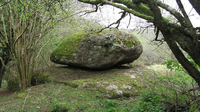
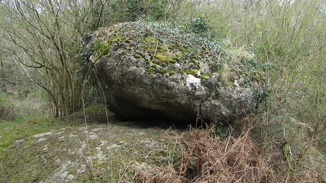
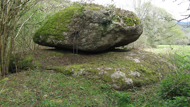
The ground was wet, evidence of a spring, backed up by the map. I came around a wall, to an opening where the track had likely once gone and to the left lay a large boulder balanced on a wide flat granite base. I immediately forgot about the outcrop I had seen earlier and its striking appearance had me asking myself if this could be Water Rock.
Initial excitement was soon tempered when I got home and began looking at the evidence. My claim is weak on the following counts;
Firstly, at SX 7611 8079, it did not marry with the 1882 Ordnance Survey map, that has Water Rock further east. It is not inconceivable that this might be a cartography error, but unlikely.
Secondly, to quote William Crossings’ Guide to Dartmoor; “On reaching the stream, which we should do not far from the camp on Water Hill (Ex. 23), marked by Water Rock, we turn R., and trace it’s course downward.” The earthworks of the Water Hill camp are, as the crow flies, nearly 760 metres from my candidate, far longer by foot, so can hardly be described as “marked by”. The Tim Jenkinson find, at SX 7668 8083, is the likely candidate as it is a few minutes walk.
We also get another incite to its position in Crossing’s book “Gems in a Granite Setting”; “Lower down (from Horsham Steps) are footbridges, and by the higher one the visitor may reach Water Rock, where is a magnificent view of the valley and its surroundings.“
This description fits both candidates. My find is beside the bridleway that leads to the higher footbridge and the accepted location can also be reached by a path that leaves the same bridleway lower down the hill. My find still possesses some views; looking south-east, down the Bovey valley. Looking east, the growth around the granite would not have been there to hamper sight. Tim’s candidate no longer offers a view, but likely did back when Crossing would have visited.
So the documented evidence doesn’t hold up. I don’t believe my find to be the rock mentioned by William Crossing, there is no doubt that is the outcrop near the hill camp, rediscovered by Tim.
But let us put that to one side and ask whether Crossing had got this one right. Had he visited this track and seen this lump of granite? Would he have questioned the location of Water Rock if he had?
Before me was a large logan-style granite boulder, nicely displayed on its own flat granite plinth. It is, pardon the pun, a stones throw from the settlement of Water. It sits immediately beside an old, albeit, now private, track mapped by Ordnance Survey. It is also, and perhaps the most significant point, located right beside a natural hill spring. What would you consider to be a suitable name for it?
Whatever the truth, if nothing else, we have a new addition to the tors and rocks list and have named it Water Lane Logan Stone
Moving on, I returned to the bridleway, taking the path lower down to the accepted Water Rock. I also visited the hill fort close by before dropping down into Houndtor Wood.

Dropping down to the Becka Brook, I crossed and joined the track all the way back to the car. A worthwhile hike, with mixed results and, perhaps, more questions than answers!