TORS OF DARTMOOR
a database of both lesser- & well-known rocks and outcrops
Water Lane Logan StoneWater Rock (alternative site) 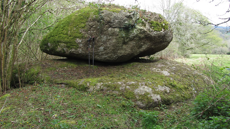 Discovered by Paul Buck on an exploration of the area in April 2017, this large logan-style granite boulder was documented in his account on his blog; "The ground was wet, evidence of a spring, backed up by the map. I came around a wall, to an opening where the track had likely once gone and to the left lay a large boulder balanced on a wide flat granite base... its striking appearance had me asking myself if this could be Water Rock." 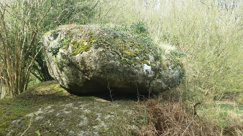 However, it does not match the tor described by William Crossing (and rediscovered by Tim Jenkinson in 2016) that is located further east and nearer the hill fort on the edge of Houndtor Wood. However, at SX 7611 8079, the rock here does not marry with the 1882 Ordnance Survey map, that has Water Rock further to the east. It is not inconceivable that this might have been a cartographic error that led William Crossing to go on to describe it in his Guide to Dartmoor; "On reaching the stream, which we should do not far from the camp on Water Hill (Ex. 23), marked by Water Rock, we turn R., and trace its course downward." and later in Gems in a Granite Setting; "Lower down (from Horsham Steps) are footbridges, and by the higher one the visitor may reach Water Rock, where is a magnificent view of the valley and its surroundings." 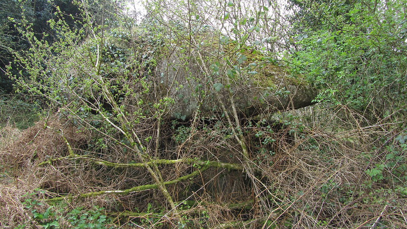 Paul concludes; "So the documented evidence doesn't hold up. I don't believe my find to be the rock mentioned by William Crossing, there is no doubt that is the outcrop near the hill camp, rediscovered by Tim. But let us put that to one side and ask whether Crossing had got this one right. Had he visited this track and seen this lump of granite? Would he have questioned the location of Water Rock if he had? Before me was a large logan-style granite boulder, nicely displayed on its own flat granite plinth. It is, pardon the pun, a stone's throw from the settlement of Water. It sits immediately beside an old, albeit, now private, track mapped by Ordnance Survey. It is also, and perhaps the most significant point, located right beside a natural hill spring. What would you consider to be a suitable name for it?" 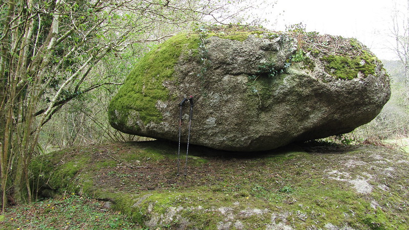 The name 'Water Lane Logan Stone' was later adopted to distinguish it from the official Water Rock, but Paul believes we would be remiss to not consider it as the original source of the name.
| ||||||||||||||||||||||||||||||