
Looking at the Ordnance Survey map, Tim had spotted a potential undocumented tor, above Canonteign Falls; a marked area of exposed rock. When he showed me it, I too was keen to check it out, so we came up with a route to explore the Canonteign Down area in addition to revisiting Hyner Rocks.
We met up at a car park near Tottiford Reservoir, taking the road to Shuttimoor Farm. As we progressed along the lane I noticed a large outcrop in the field to our right, as we descended to the farm. It surprised us, given it was obvious and neither had seen mention of it. From the other side of the valley, just behind the farm, we managed to get a good view of it.
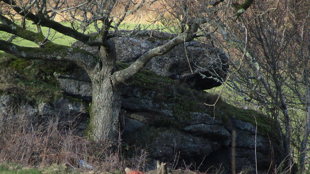
Sitting on private land, we held out little hope of reaching it but we’d look a little later from a different position. We dubbed it “Shuttamoor Rock” as it sits above a disused Iron mine and the farm of the same name. Its Grid Reference is SX 8217 8274.
Buoyed by this find, we continued up the lane, to the entrance of the plantation on Barton Down. Immediately, we could see this woodland was popular with mountain bikers, their numerous steep trails aiding our descent of the valley side into a section called “Fleetwood Plantation”.
Upon reaching the grid reference of the supposed exposed rock (SX 8298 8253), we were disappointed.
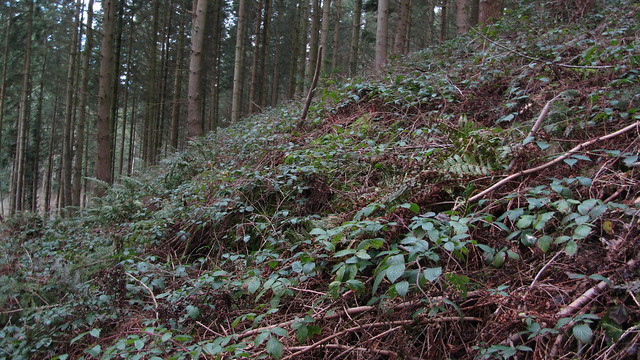
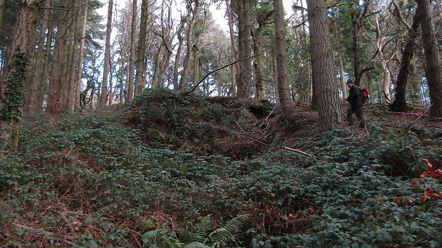
Above a main track there was evidence of some quarrying, but this was covered in vegetation so was not recent. The exposed mass below was not to be seen. We went further down to investigate and did find a layer of rock that had been lost to brambles and buried for many years. Its inclusion on the map was now purely historical.
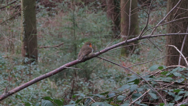
We consoled ourselves with the discovery of Shuttamoor and crossed the brook to climb up into Birch Cleave Wood, escorted by an inquisitive robin.
Getting up the valley side was hampered by the brambles, but we spotted some level ground higher, thought to be a track but was actually a leat.
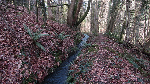
This leat was flowing well, obviously still in use. Later research revealed that this once took water to the silver mines of the Canonteign Estate, but once the mines shut, it was rerouted for the creation of The Lady Exmouth Falls.
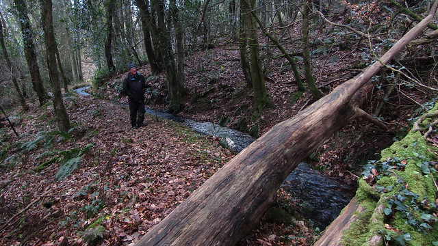
We took some time finding a way over the watercourse, mainly due to the terrain on the other side. Eventually, after an abandoned traverse of a waterlogged track, found our way out of the woods to the heathland above. We turned west, to the edge of the Open Access land, to see if we could get close to Shuttamoor Rock.
Our way was stopped by barbed wire. As we tried to penetrate some of the gorse and brambles along its course, we were also put off by the arrival of two collie dogs, barking and snarling aggressively. Not wanting to engage in the intricacies of trespassing law, we took their advice and moved away.
Instead, we found the walls of Shuttamoor Mine, hoping for a chance to get closer to the tor, but the area is closed off to the public despite the Open Access shading on the map. We heeded the danger signs and stuck to the perimeter, following the wall as far as we could to a point where we could see Shuttamoor Rock.
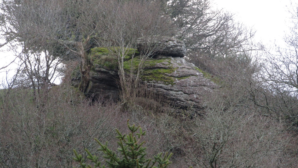
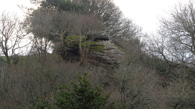
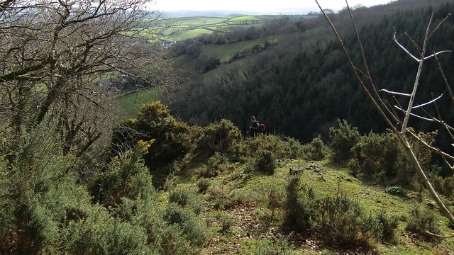
It was now time to make our way back to the cars, but with a side trip to Hyner Rocks. Even with the lack of foliage, this is still a tricky set of outcrops to photograph, but the view from the top is inspiring and in the sunshine the warmth was most welcome.
A quick root around to satisfy us that we hadn’t left further gems to be found, we turned and made for Beadon Lane. A mixed walk today; an obvious disappointment, but a good new discovery, albeit frustratingly out of reach.