TORS OF DARTMOOR
a database of both lesser- & well-known rocks and outcrops
A Map of Dartmoor Tors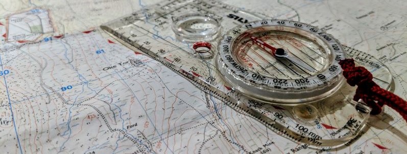 The Ordnance Survey map below contains all those tors and rocks in our database. Users should click on a way-point to see the name and grid reference of a tor including a link to access further information. It is not a standalone navigation tool and we recommend that all grid references shown should be used in conjunction with the following 1:25,000 scale Ordnance Survey maps and that training in their use with a compass is advised:
For visiting tors on private land, we direct you to our Access Guide where you can obtain further details about the procedures we encourage. Contact UsIf there are any tors you consider to be missing, or discrepancies, we are happy to investigate, add, or correct an error. Simply fill out our Contact Form and we will get back to you as soon as possible. | ||||||||||||||||||||||||||||||||||||