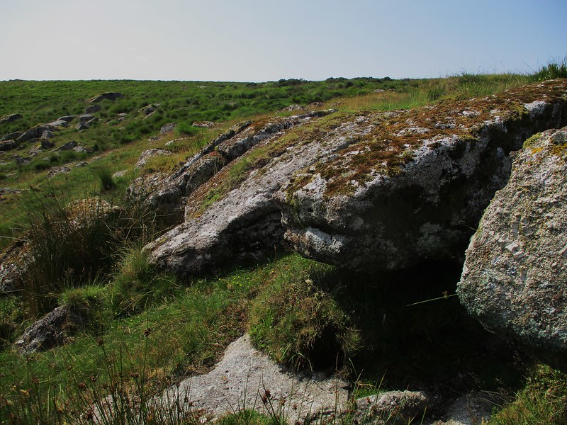
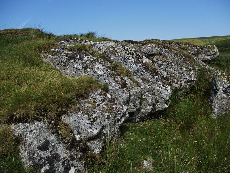
Not far from Chittaford Down Rocks (CDR) lies another cluster of less impressive boulders that straddle a small feeder stream leading downhill from the wide desolate pan of Archerton Bog to the west. The best part of this small emerging tor is its peculiar low flat outcrop on the north side that is weirdly divided into five distinct segments.
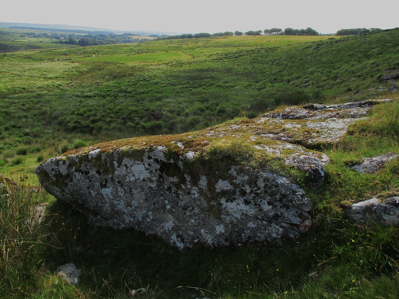
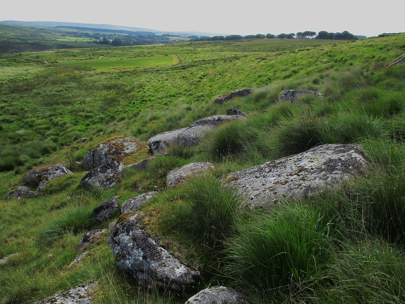
This does not look to be man made as no splitting marks are visible on the edges of the granite so it can be only attributed to centuries of weathering. The views are good to the north and east and down to the valley below where the top of Braddon Lake Rocks is visible.
Set on Public Access land the route to Archerton Rocks is the same for that to CDR, then keeping roughly on the same contour heading north and slightly west for about 300 metres or so.
Archerton Rocks
The map above is not a navigation tool and we recommend that the grid reference shown below is used in conjunction with an Ordnance Survey map and that training in its use with a compass is advised.
Grid Ref:
SX 6324 7966
Height:
410m
Parish:
Dartmoor Forest
Tor Classification:
Small
Access:
Public
Rock Type:
Granite
Credit:
Tim Jenkinson
Reference / Further Reading:
Tim Jenkinson: Tors of Dartmoor
Please Support Us
We are proud to see the names of lesser-known tors are now being used more commonly on other websites and whilst this is to be encouraged we do request that, should you wish to use the information on this page, you provide a backlink to the website as reference, by copying the relevant address:
Please also consider a small donation to the upkeep of the site; any contribution goes toward the fees to keep the database online and any costs incurred when undertaking research such as subscriptions to online archives.