TORS OF DARTMOOR
a database of both lesser- & well-known rocks and outcrops
Ausewell RocksAusewell Rock, Awsewell Rock, Auswell Rock, Answell Rock, Hazel Tor, Hazel Rock, Hazel Rocks, Hazwell Rocks, Lion Rock 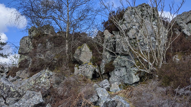 Writing back in 2002 Tim Jenkinson provides the following account: "Unfortunately access to this tor is no longer afforded as it now lies in private land approximately one mile to the south of Buckland Beacon. Also known as Ausewell or Hazwell Rocks and once recorded as Lion Rock (Lloyd Warden Page 1892) due to its resemblance to the 'king of beasts' from the Buckfastleigh direction, it is Samuel Rowe (1848) who introduces the name of Hazel Tor and Hemery who then hypothesizes the link between 'Ausewell' and 'Hazel' suggesting that the latter is a probable corruption of the former. 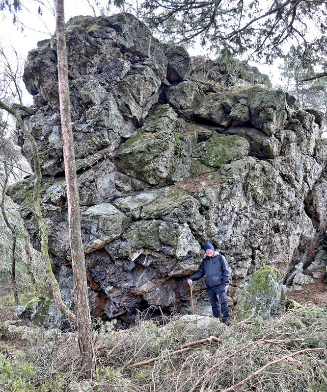 Tim concludes: "It is a pity that visitors can no longer enjoy the beauty of Hazel Tor, that is hidden high above Raven Rock amid the dense canopy of Ausewell Wood. In Crossing's time the scene from this part of the woods was described as 'exceedingly fine' with unrivalled views to the east of the dipping hills and valley sides of Boro Wood and Whiddon Scrubbs whereas to the south and west Brent Hill and the open moor to Hickley Plain and Three Barrows distant could be seen." The Geology of Dartmoor (1912) provides an interesting account: "The Ausewell Rocks consist of four bold crags of quartz-schorl material, each of which closely resembles the famous Roche Rock, except that they are formed by the tourmalisation of killas in place of granite. The Ausewell Rocks probably form the greatest continuous mass of quartz-schorl rock in the south-west of England." Writing later, Eric Hemery writes with great enthusiasm about the Rocks. After describing what he called the "small, unremarkable tor" of Buckland Beacon, he goes on to write about "a more sensational tor" that is Ausewell (Auswell) Rocks and adds that it "was once seen from afar as an impressive frontier bastion". Even in Hemery's time, which predates Tim's work, permission to visit the tor had to be sought. 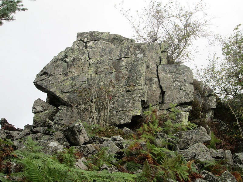 However as of April 2021, all that has changed, and restrictions have been lifted with public access now allowed to Ausewell Rocks that are still marked by that name on OS maps. The rocks here are not of granite and as Tim noted consist of three main piles atop Ausewell Wood with fine views north towards Buckland Beacon. As Tim observed it is indeed the eastern outcrop hidden in trees that is the most striking. The two huge cairns that Hemery described on the nearby hillside are recorded on a map of the parish of Ashburton that is dated 1605 by the name of Whittaborrow. For so long off limits to the public without permission to enter, Ausewell Wood is now accessible thanks to a collaboration between The National Trust and The Woodland Trust and there is a circular trail that circumnavigates the outcrops with a 'Shortcut Trail' that enables you to visit them close up. Beside the Circular Walk, there lies, at SX 73486 71673, an emergent rock face decorated by climbing plants that is somewhat detached from the main Rocks that lie to the north-east. Noted by Paul Rendell (2021), it is easily seen from the trail when walking clockwise and is an indicator of the massive crags above. 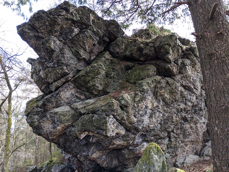 However, under the Wildlife and Countryside Act of 1981, there are restrictions elsewhere within the woods between the beginning of March and the end of July due to being in close proximity to sensitive species of wildlife. These sites are being monitored with trail cameras and/or CCTV and you are advised to respect any closures in place.
| ||||||||||||||||||||||||||||||