TORS OF DARTMOOR
a database of both lesser- & well-known rocks and outcrops
Avechurch RocksPudsham Wood Tor 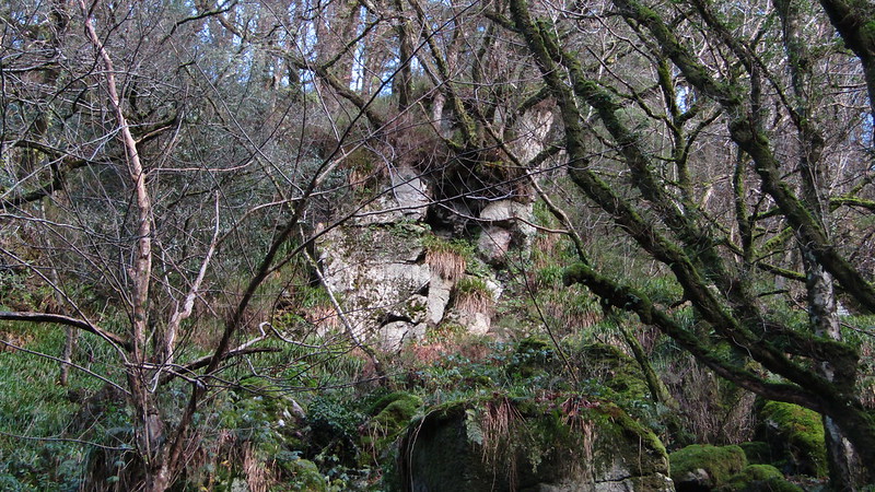 Shown on old Ordnance Survey Maps as a substantial rock group this magnificent tor does not disappoint but is frustratingly difficult to get up close to because of the unstable terrain and tricky walking. The tor stretches for around 100 metres high above and to the north-east of Lizwell Meet where the West and East Webburn Rivers converge. Most of it is obscured by trees, particularly in the summer, but there are some huge granite crags here, best seen from below on the narrow riverside path. 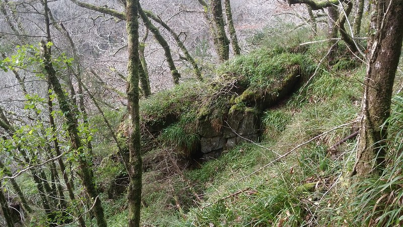 Hunt reports in local newspapers dating back to the late 19th and early 20th century tell us that this rock field was once known as 'Avechurch (or Aviechurch) Rocks'. Multiple accounts mention it in their route descriptions, leading us to pinpoint the location with a high degree of certainty. Although the source of the name has not been found, perhaps it originated from its position below the higher driveway or 'avenue' that runs to St. Peter's Church at Buckland in the Moor. 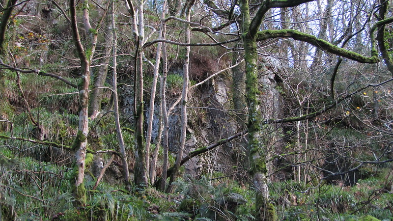 One particular article details the death of James Collings, Chief Huntsman of the South Devon Hounds, at this spot, in 1898; "On Tuesday the hounds met at Welstor Cross, and, after a run of about an hour and a half, drove a fox to ground among rocks at Avechurch, in Buckland Woods. At this spot there is a very steep slope formed of granite boulders." The account goes on to explain, in gruesome detail, how he was crushed beneath a three ton boulder whilst trying to dig the fox out and list the nature of his wounds; "His neck was badly broken, his head was jammed in so that two or three fingers could be put in it, and a portion of the brain was protruding from the right ear, and, in addition, his chest bone was broken to pieces; his lungs and heart were completely crushed, and his left arm was dislocated. The boulder went over him and crushed him like a fly. His silver horn was smashed flat, and the whole of his body above and including his chest was absolutely crushed." 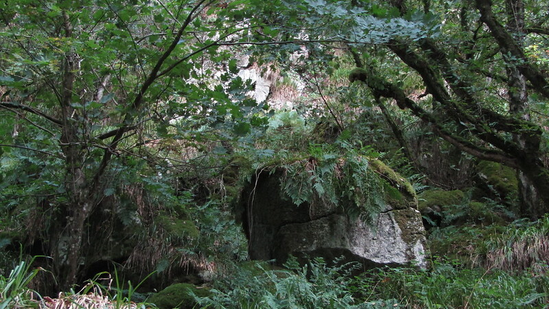 The report concludes; "There are lots of rocks similar to that which was the cause of the accident around Buckland, and it is said to be a very dangerous country." That statement still applies today and great care should be taken here. The tor is on private land, but a permit to visit the woods can be obtained from Fountain Forestry.
| ||||||||||||||||||||||||||||||