TORS OF DARTMOOR
a database of both lesser- & well-known rocks and outcrops
Bag Tor (Christow)Great Tincombes Hill
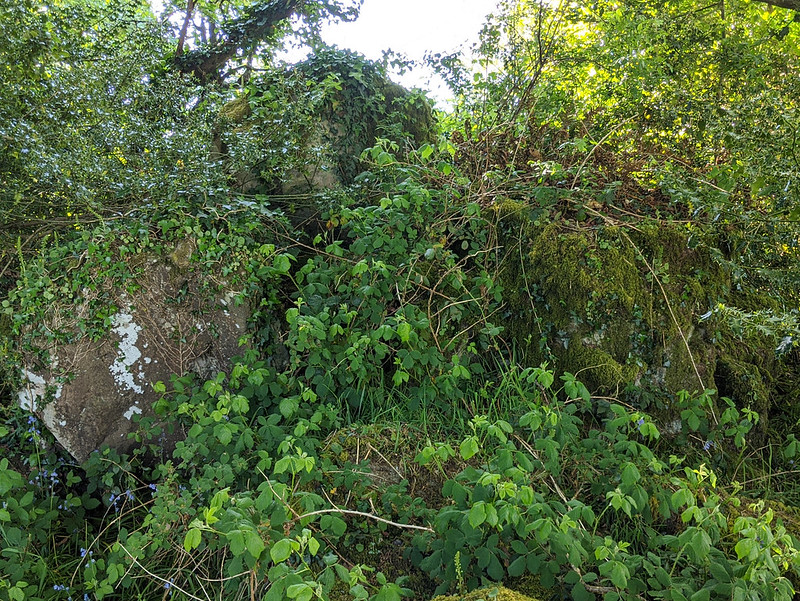
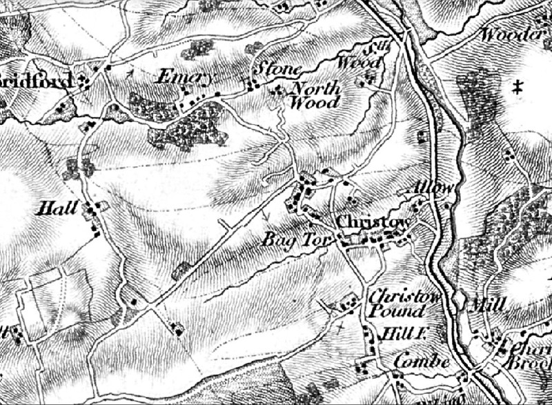
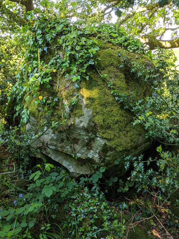
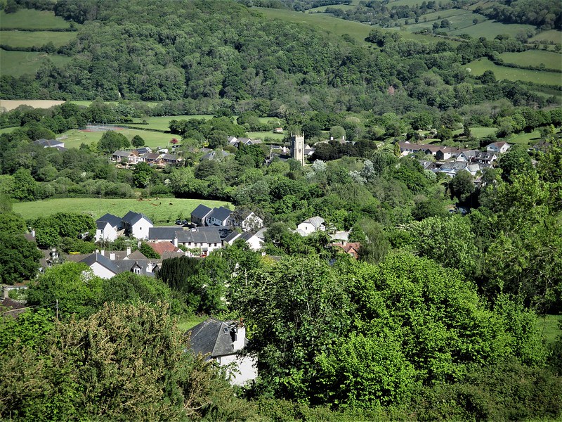
 The very first Ordnance Survey map, based on the surveys of Lt. Col. William Mudge, possessed a number of misnomers; 'Littorally Tor' to the west of Scorhill Down and 'Bag Tor' near Christow being just a couple of names that are cited. But whilst the former is nowhere to be found on the ground, we discover that the latter location does actually possess an outcrop, albeit a poor one.  Ascending the public footpath up from the hamlet of Barne, you will notice in the field to your left, as you approach a stile, significant emergent bedrock. Further visits have revealed there is additional exposure hidden in the woods along the edge of this hill. Negotiating the stile into the upper field, the mud footpath steepens, bringing you out into an airy open field with expansive views.  At the field's boundary, a wall running north to south along its spur, there is a tangled mass of vegetation seemingly forming a bank where a couple of mature trees have managed to thrive. Look closely and you will see that the brambles, bracken and holly cloak a lowly pile. If you head around the outcrop to the left, you can avoid the worst of the vegetation to step up to a summit boulder where you can see that you are now standing on a long forgotten metamorphic rock and not, as first perceived, the spoil of a farmer's field clearance. The other side of the wall reveals fragments of rock in private woodland.  Because the name disappeared from later maps it was labelled either as a misnomer or a cartographer's addition for copyright purposes, but the presence of an outcrop leads us to conclude 'Bag Tor' exists. Unfortunately, the 1841 Tithe map of the parish of Christow holds no further information to the name; the plots, where the outcrops and exposed bedrock reside, possess names such as 'Plot 149 - Great Tincombes Hill, and 158 - Tincombes Orchard'. Despite the tor's disappointing stature a visit is worth it to take in the view from this fine vantage point above Christow.
| ||||||||||||||||||||||||||||