Bag Tor is a little gem, sat within Bagtor Down. Access is through a gate with notice of a permissive path. While the area is Open Access, the notice informs that between 1st March and 31st July, you must stick to the path to protect the rare ground nesting birds known to inhabit the down.
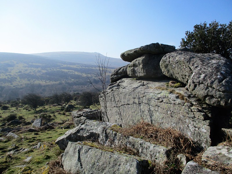
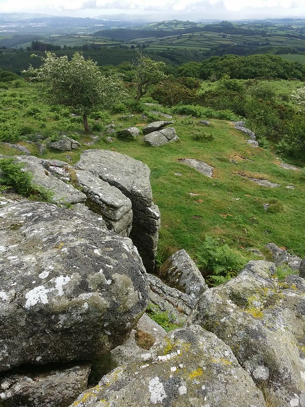
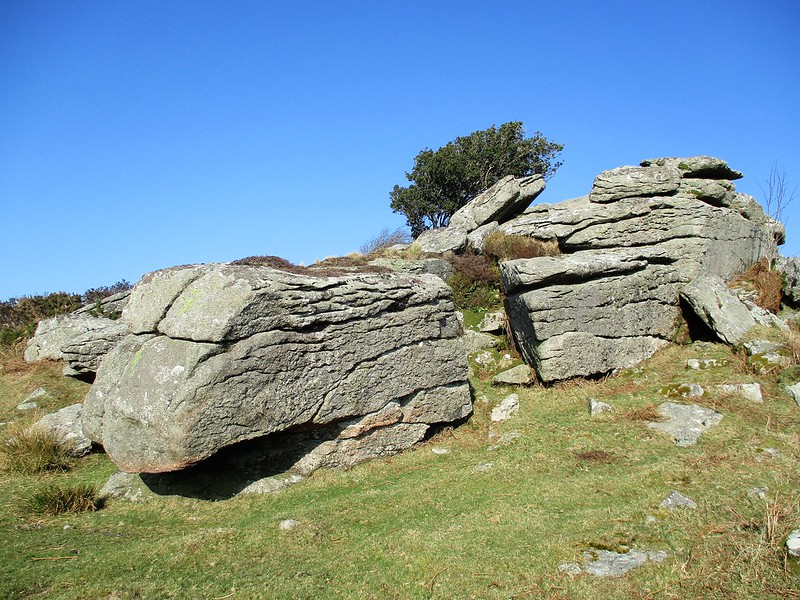
Bag Tor has excellent views to the south-east, of Newton Abbot, Kingsteignton and the Teign estuary. Eric Hemery describes the area; "The major pile rises amid the ruins of smaller ones and is of interest on three counts: the great fall of slab granite at its east foot, a remarkable rock basin, and the fine view it provides of the steep-sided Sig gorge pointing towards the Channel coast..."
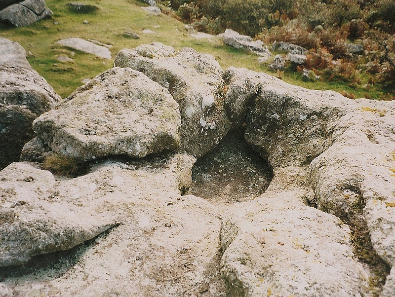
The tor also boasts a strangely weathered rock basin on its summit.
Bag Tor (Ilsington)
The map above is not a navigation tool and we recommend that the grid reference shown below is used in conjunction with an Ordnance Survey map and that training in its use with a compass is advised.
Grid Ref:
SX 7619 7579
Height:
349m
Parish:
Ilsington
Tor Classification:
Spur
Access:
Public
Rock Type:
Granite
Credit:
Ordnance Survey Eric Hemery
Reference / Further Reading:
Ordnance Survey Maps Eric Hemery: High Dartmoor
Please Support Us
We are proud to see the names of lesser-known tors are now being used more commonly on other websites and whilst this is to be encouraged we do request that, should you wish to use the information on this page, you provide a backlink to the website as reference, by copying the relevant address:
Please also consider a small donation to the upkeep of the site; any contribution goes toward the fees to keep the database online and any costs incurred when undertaking research such as subscriptions to online archives.