TORS OF DARTMOOR
a database of both lesser- & well-known rocks and outcrops
Beckaford Farm Rocks
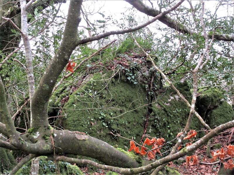 There are many outcrops on East Dartmoor that are secreted away in the dense woodlands that carpet the rolling hills and valleys, particularly in the parishes of Hennock, Lustleigh and Manaton. In the latter parish there is a completely denuded rockpile that is partially represented on Ordnance Survey (OS) Maps. 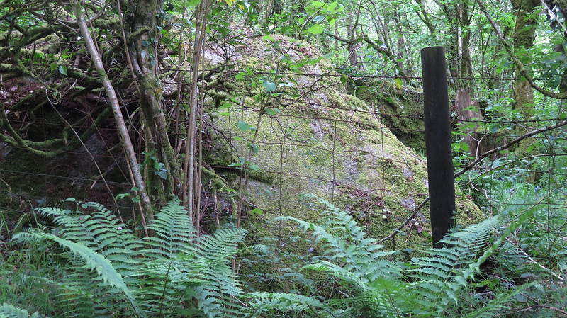 To the west of Beckaford Farm, and immediately to the north of the entrance to the driveway, there is a small, overgrown rock ridge that is clearly visible on historic OS Maps; this gives rise to a pretty substantial set of mossy boulders and clitter that are flung down the west slope of the hill. The lane running between Beckaford Bridge and Yarner Wells slices through the heart of the ruined rockpile and the visitor who walks along the lane will notice exposed granite above either side. The rocks are dishevelled and it is possible that some were moved to make way for the road. It is also quite possible that more of the ruined tor extends in a northerly direction through wooded enclosures towards Treetops as a late 19th Century map suggests. 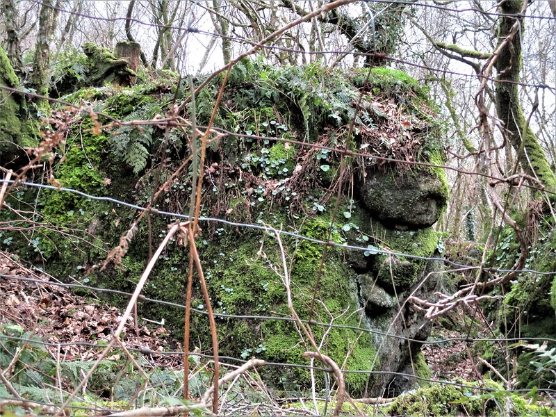 The granite rocks here are more plentiful on the north edge of the road where boulders congregate to form noticeable, albeit overgrown clusters, and where vegetation permits, reveal pale-faced slabs resting parallel to the gradient of the hill. In late spring the woodland here is embellished in a vibrant array of bluebells that can be enjoyed from the aforementioned lane. 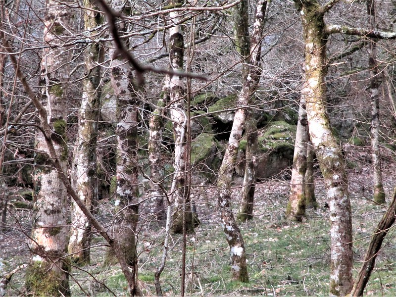 It is difficult to appreciate the true scale of the rocks here because they are obscured by low tree branches and bracken, and the woodland that flanks both sides of the road is situated on private land. A notice in the immediate vicinity politely asks people not to walk in the woodland as it has been recognised as an important habitat for wildlife, so if you wish to inspect Beckaford Farm Rocks close up you are strongly advised to seek permission from the landowner.
| ||||||||||||||||||||||||||||||