TORS OF DARTMOOR

a database of both lesser- & well-known rocks and outcrops

Home Search Map The East Access About Team Social Blog

Beckaford Rocks

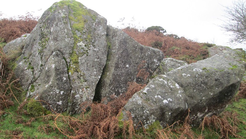
Some might consider this a rather insignificant pile on the far northern slopes of Black Hill on South Dartmoor especially when seen from afar but, on closer inspection, there is a huge embedded outcrop here with other large boulders nearby set on the gentle slope above a minor road leading down to the hamlets of Water and Freelands.

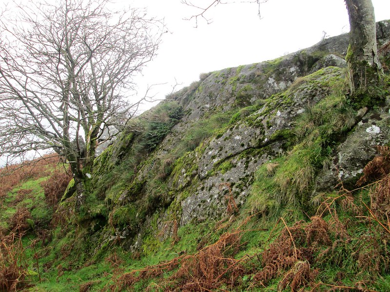
The rocks overlook the ancient enclosures of Beckaford Farm as indicated on the Tithe Map for Manaton of the mid 19th Century.
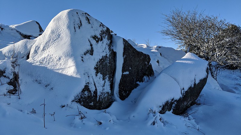
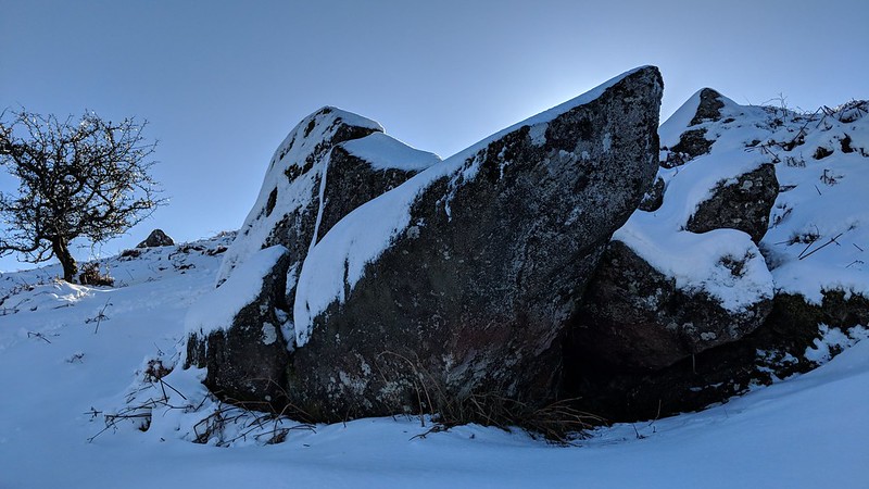
icon
icon
Beckaford Rocks
The map above is not a navigation tool and we recommend that the grid reference shown below is used in conjunction with an Ordnance Survey map and that training in its use with a compass is advised.
Grid Ref:
SX 7620 7914
Height:
361m
Parish:
Manaton
Tor Classification:
Emergent
Access:
Public
Rock Type:
Granite
Credit:
Tim Jenkinson
Reference / Further Reading:
Tim Jenkinson: East Dartmoor The Hidden Landscape: Rocks and Tors (published privately)

Please Support Us

We are proud to see the names of lesser-known tors are now being used more commonly on other websites and whilst this is to be encouraged we do request that, should you wish to use the information on this page, you provide a backlink to the website as reference, by copying the relevant address:

https://www.torsofdartmoor.co.uk/tor-page.php?tor=beckaford-rocks

Please also consider a small donation to the upkeep of the site; any contribution goes toward the fees to keep the database online and any costs incurred when undertaking research such as subscriptions to online archives.