TORS OF DARTMOOR
a database of both lesser- & well-known rocks and outcrops
Bennah Hill Tor
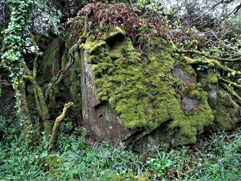 This far eastern side of Dartmoor is noted for its array of non-granite rockpiles that stud the hilltops above Christow before the land falls abruptly to the Teign Valley below. This part is dominated by steep country lanes and sweeping views towards Great Haldon over a patchwork of fields. On the crest of Bennah Hill, in the plot that Tithe Maps label as 'Rock Park', there is a squat outcrop that is significant as it once had an Ordnance Survey (OS) trig point on its summit, as depicted on historic maps. It is possible that this was of wooden construction and later removed as it became rotten and redundant. 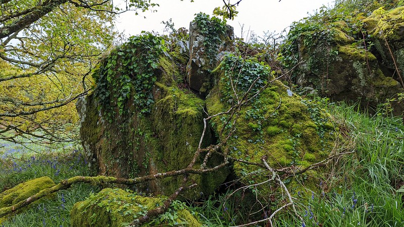 The rockpile, really an emergent tor, is severely choked in bracken and scruffy in appearance. It is only when viewed from the north (woodland) side that a grander exposure of rock can be seen. Tom Greeves (1983) recorded a possible long cairn here when he wrote: "Possible long cairn adjacent to tor, later adjudged to be probable natural feature." Given the terrain no evidence of this has been seen in modern times. 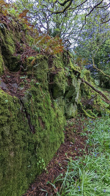 The lane known as Bennah Hill is one of the most glaring errors to make its way onto OS maps. It is shown as being a wide road that climbs the hill above the same named hamlet, but this couldn't be further from the truth as the route is a narrow lane with no passing places. It was successfully traversed in 2008 by the Google car, but since then it has fallen into neglect, with parts of the road collapsing making it unusable for any vehicle that isn't a Land Rover. At either end of the road signs warn of the danger not to proceed. 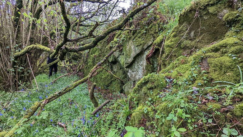 Please note that while Bennah Hill Tor is accessible from the public footpath below, it does reside on private land so you must obey any and all signage if in evidence.
| ||||||||||||||||||||||||||||||