TORS OF DARTMOOR
a database of both lesser- & well-known rocks and outcrops
Black Rock (Buckfastleigh)Bulleyclieves Quarry, Bullycleaves Quarry, Bulley Clays Lime Quarry 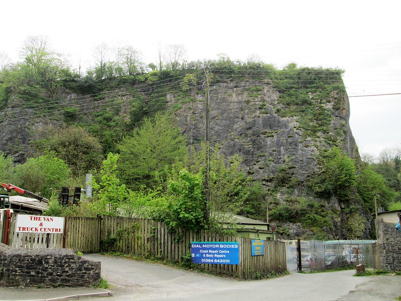 Set just a short distance inside the National Park boundary at Buckfast there is a huge quarried rock face on the south side of the road leading up to the Abbey. This is Black Rock appearing by this name on the 19th Century Tithe Map but also recorded at the same time as Bulley Clays 'Lime Quarry' then occupied by a Mr Richard Cole. Later names have included Bulleyclieves as shown on old Ordnance Survey maps from 1880-1899 changing to Bullycleaves in 1904 a name that was used up until 1969 after which it was no longer shown on maps. According to the Historic Environment Record for the area the quarry dates to the early 19th century (or earlier) but was closed in February 1974. 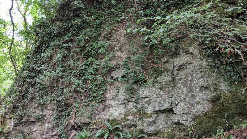 Helen Harris (1996) advises that a special feature of the limestone here are the extensive caves in the hillside inhabited by bats, that are open to the public through guided tours in the summer (usually August) from the William Pengelly Trust for cave studies and conservation that was founded in 1962. Of particular interest is the Joint Mitnor cave that was explored by Wilf Joint and Edgar Reed in the 1930s with its remarkable animal remains that have been dated to around a 100,000 years ago. 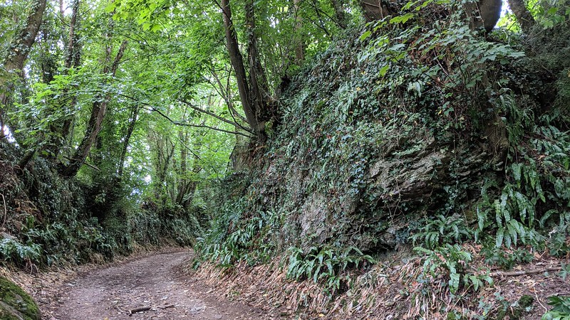 The quarry is known to have supplied limestone for local use and it is probable that square ashlar blocks were used in the construction of the nearby modern Abbey its completion dating to 1938. The impressive crag of dark and irregular rock can be seen from the entrance to what is now a crash repair centre at the site. On the hillside above the quarry are the remains of Holy Trinity Church that was destroyed by a fire in July 1992 and it can be reached by climbing the 196 steps that lead up from Fairies Hall. According to Harris one of the aforementioned caves extends directly under the church. Another steep pathway leading down over the southern slope passes further jagged rocks and crags of interest above the track and below closer to the town there is a large house, now a residential home, in Station Road that still goes by the name of 'The Rock' (once Rock Villa) implying that perhaps at one time long before the quarrying the whole hill was once a huge lump of limestone with a labyrinth of caves. 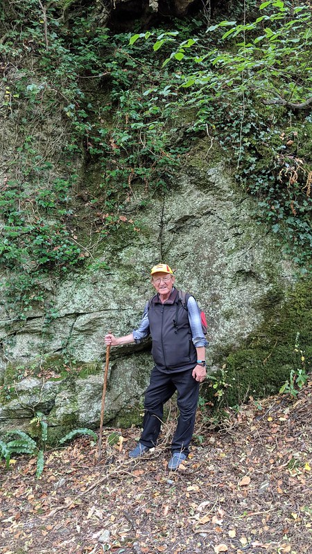
| ||||||||||||||||||||||||||||||