TORS OF DARTMOOR
a database of both lesser- & well-known rocks and outcrops
Blackalder TorBlack Alder Tor, Blackaller Tor, Higher Blackalder Tor 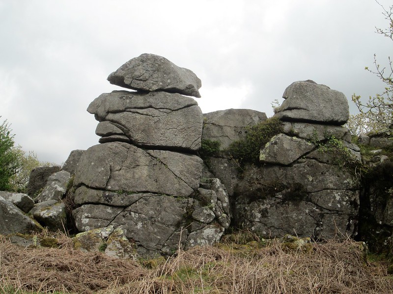 Perhaps one of south Dartmoor's most overlooked and neglected tors lies to the south of the village of Lee Moor, amid an area that since the 1830s has been much associated with the China Clay Industry. The tor itself is easily reached from the village walking south from the Old Post Office first along a rather roughshod road beside houses to the right and then continuing along a track where a higher part is first encountered at SX 568617. 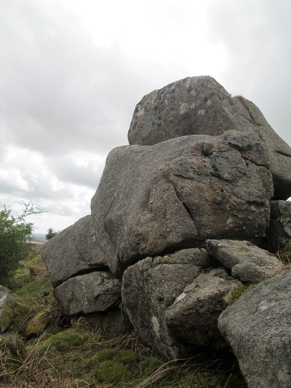 This interesting section is separated by Paul Rendell (2019) from the main rocks into 'Higher Blackalder' but is essentially an outlying part of the much bigger group below. It is the beauty of the main stack situated a short distance from here that really commands attention. Strangely though the grand tor is hardly commented on by the main authors of the moor, namely Messrs Crossing and Hemery, who by their own scant comments imply that they may not have visited. Their fleeting remarks fail to do justice to the impressive rocks where the giant central granite pile dominates, this with strange distorted facial features as if casting a distaining look across the widening industrial wasteland, that by day and night grows ever deep and more obtrusive. 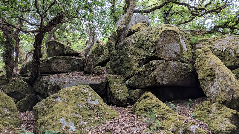 Largely obscured by the canopy of low oaks and rowan trees in the summer, that make the tor invisible from the main road below and that leading up into Lee Moor, its ruin nonetheless cascades almost to the highway's edge tossed and broken by a combination of nearly two centuries of work by clay cutters and road builders alike. 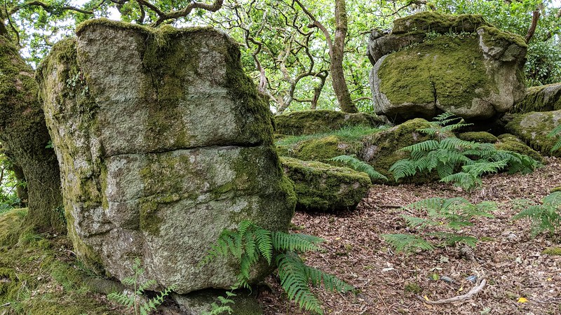
| ||||||||||||||||||||||||||||||