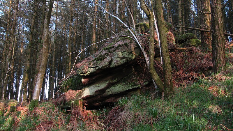
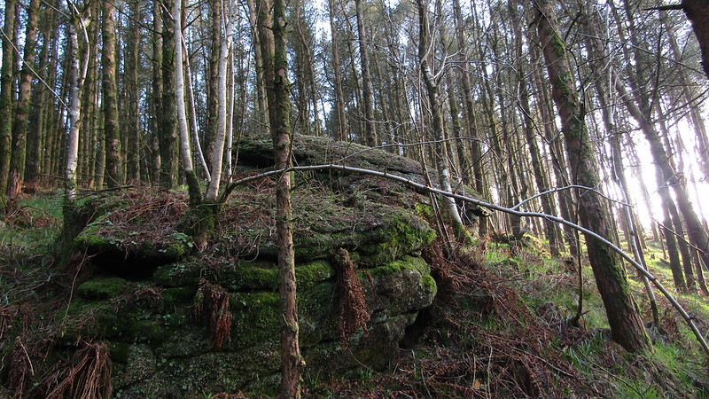
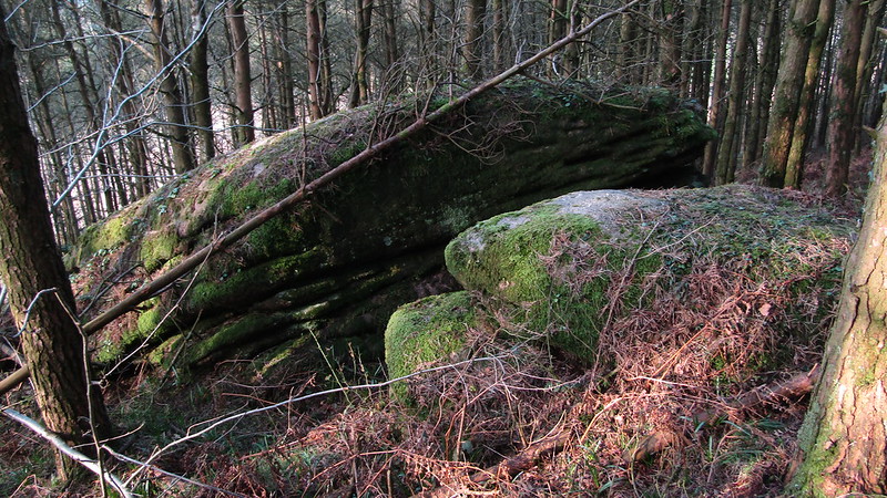
This small tor can be found about 300 metres to the north-east of the main Blackingstone Rock in woodland and consists of three flattened outcrops on the slope, this above being the uppermost and largest of the group.
They are pleasing to the eye, and the woodland setting adds to their appeal. They have no name that we are aware of, but as they reside on the hind of Blackystone, they should be associated with it, dubbed Blackingstone East.
Blackingstone East
The map above is not a navigation tool and we recommend that the grid reference shown below is used in conjunction with an Ordnance Survey map and that training in its use with a compass is advised.
Grid Ref:
SX 7880 8566
Height:
305m
Parish:
Bridford
Tor Classification:
Valley Side
Access:
Private (but accessible)
Rock Type:
Granite
Credit:
Tim Jenkinson
Reference / Further Reading:
Tim Jenkinson: East Dartmoor The Hidden Landscape: Rocks and Tors (published privately)
Please Support Us
We are proud to see the names of lesser-known tors are now being used more commonly on other websites and whilst this is to be encouraged we do request that, should you wish to use the information on this page, you provide a backlink to the website as reference, by copying the relevant address:
Please also consider a small donation to the upkeep of the site; any contribution goes toward the fees to keep the database online and any costs incurred when undertaking research such as subscriptions to online archives.