TORS OF DARTMOOR
a database of both lesser- & well-known rocks and outcrops
Blackpool Rocks
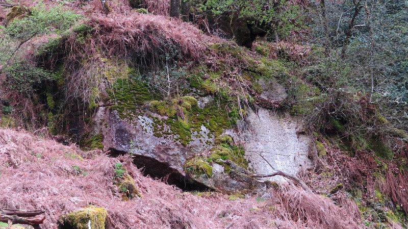 At the end of April 2023, a large landslide occurred on the south side of the Dart Valley, that was quickly spotted and reported to Max Piper by Dan Anderson and Tracy. This is one of the most significant slips to happen anywhere on Dartmoor in recent years and is visible from both Sharp and Mel Tor to the north-east. 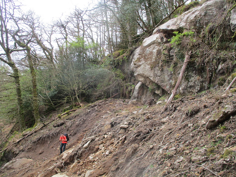 An onsite visit shortly thereafter revealed that a humongous amount of soil and rock had tumbled down the hillside, causing the trees on top to crash and snap on top of one another in a scene of destruction. It seems that the weight of the lower part had caused the upper to succumb to the pressure, separating from the rest of the hill and now revealing a significant squat and shiny rock face. It would not be irrational to suggest that a further slip might happen sometime in the future, as the ground here is quite weak and crumbles under any pressure. Immediately to the south-east is another outcrop which looks like it's been exposed for a very long time but not by this recent event. 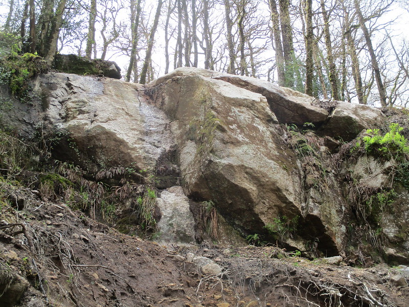 The richness of the surrounding trees conceals this fine stretch of the River Dart, which is almost opposite the magnificent Luckey Tor. Throughout its course, there are a number of deep pools which can be popular with wild swimmers. The one nearest to the landslip is marked on maps as Blackpool, presumably in recognition of the Dart's dark coke-like colour as it quietly shifts through this part of the gorge. In the absence of any other information, the name of 'Blackpool Rocks' seems a suitable appellation for this valley side crag. 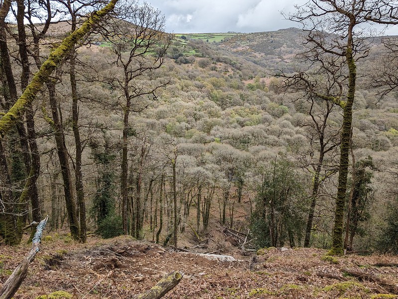 The entire hillside, densely packed with trees and incredibly steep on all angles save for the immediate valley-floor beside the River Dart, is archetypal of this region and access is always made potentially problematic by the severe gradient. It is strongly advised to take great caution when exploring the slopes here as they are not for the faint-hearted.
| ||||||||||||||||||||||||||||||