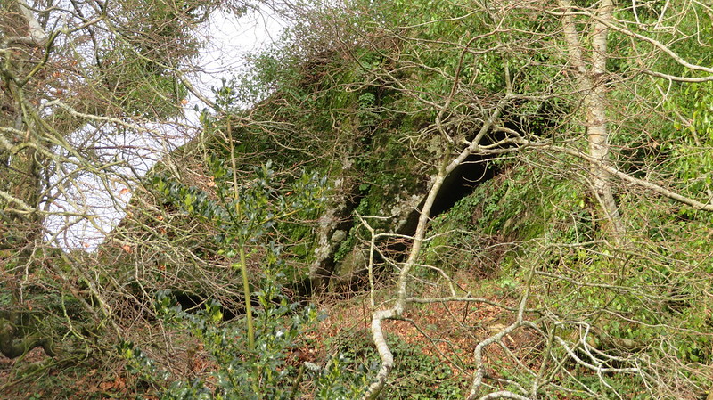
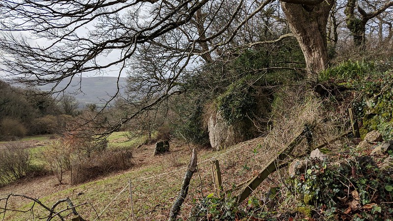
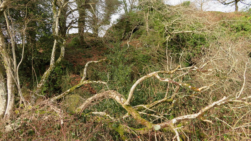
Shown on old OS maps as a large outcrop, these rocks are actually very overgrown with vegetation but still protrude rather boldly from the valley side with more of the emerging tor scattered through the trees.
It lies on private land, however, which means you must try and view the main Rock from the road by Lower Bowden, and its summit from Higher Bowden. The vegetation really does obscure its size.
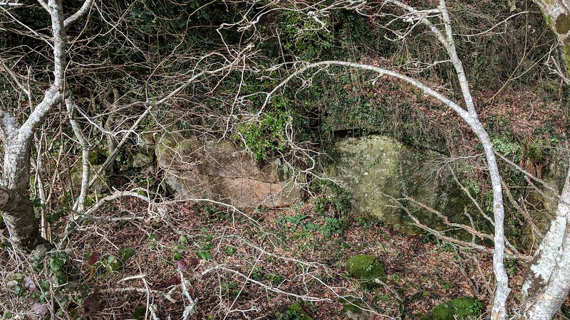
Below the main outcrop, there is a curious ditch of some depth, which reveals a bit more of the tor, when viewed closer. The name of 'Bowden Hill Rocks' seems appropriate given the hill it sits on the side of is marked as Bowden Hill on the Tithe Map for the Parish of Hennock.
Bowden Hill Rocks
The map above is not a navigation tool and we recommend that the grid reference shown below is used in conjunction with an Ordnance Survey map and that training in its use with a compass is advised.
We are proud to see the names of lesser-known tors are now being used more commonly on other websites and whilst this is to be encouraged we do request that, should you wish to use the information on this page, you provide a backlink to the website as reference, by copying the relevant address:
Please also consider a small donation to the upkeep of the site; any contribution goes toward the fees to keep the database online and any costs incurred when undertaking research such as subscriptions to online archives.