TORS OF DARTMOOR
a database of both lesser- & well-known rocks and outcrops
Bowden TorThe Overhang
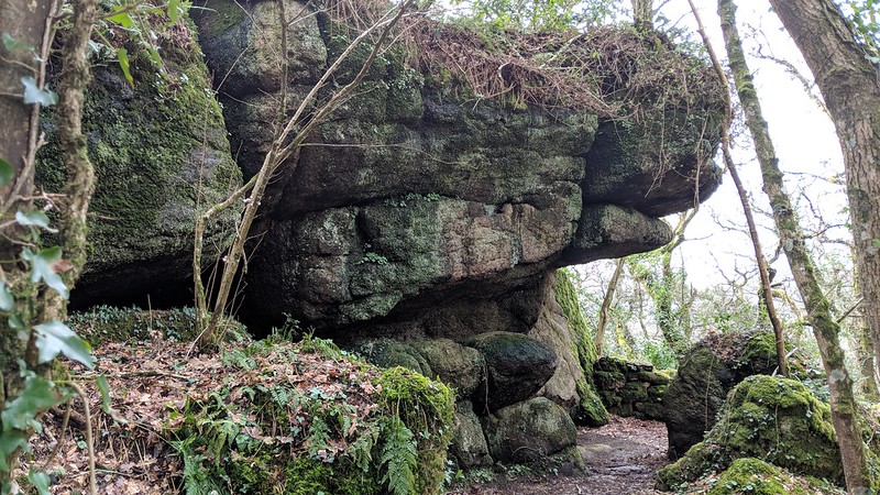 This is quite a magnificent tor which is one of East Dartmoor's finest. It can be found by following a short 50-metre detour west from the main path as it enters the eastern edges of Shaptor Wood from the roadside above Lower Bowden Farm. The first rocks which are not shown appear as small, rounded outcrops on a woodland spur at SX 8173 8037. The south-easternmost outcrop seen below at SX 8178 8032 is a huge, vertical wall of granite hidden from the field above, and the only evidence of it from this side is when you step onto it and see the sheer drop in front of you. It is quite likely that even further east of here the granite continues towards what we have labelled 'Bowden Hill Rocks'. This area is very overgrown and hard walking, even straying into private land on the south-east side so please be careful when exploring these slopes. 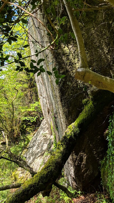 More granite extends to the west of here to culminate in small piles at SX 8169 8032 which are also not shown, some of which manage to obtain a view of Haytor Rocks which are seen through the low branches. The main tor is mostly hidden in the trees but on its north side at SX 8167 8037 there is an impressive, jutting overhang, and moving through the rocks along a grassy avenue to the south the full extent of the tor reveals itself, with a series of giant outcrops extending downhill towards another rock face and overhang favoured by the bouldering community known as 'The Big Roof' at SX 8164 8030. 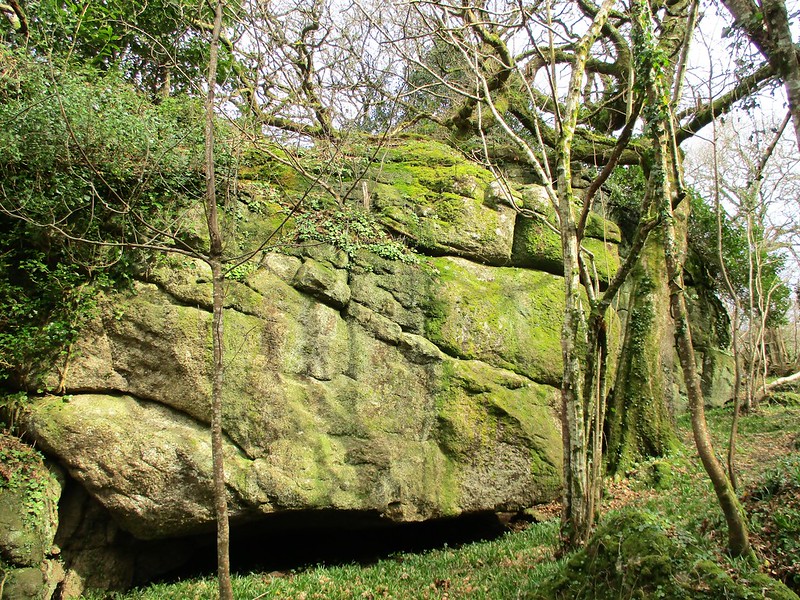 It is simply breathtaking: the tor's upper rocks nudge through the treetops in the winter months like the ramparts of a giant granite castle that are visible from the grassy dell to the south. Tim Jenkinson, in Dartmoor Magazine, writes of Bowden Tor; "It is hard to see how William Crossing could have missed such a spectacle, but he may have visited Shap Tor from the Slade Cross end of the footpath. Perhaps so taken was he with the splendid sprawling outcrops there that he stopped short of coming further into the woods where he would have been rewarded by the sight of many more rock piles in the various copses." The NGR (National Grid Reference) of SX 8169 8035 is given to encompass most of the outcrops here. 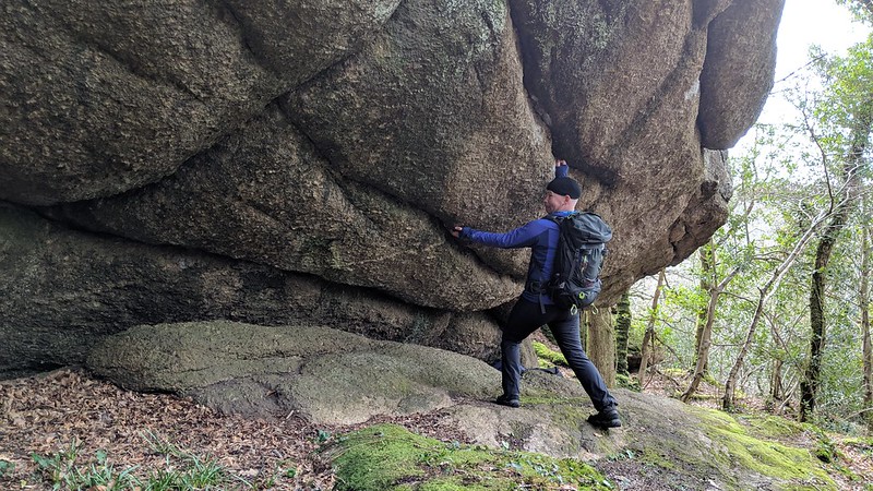
| ||||||||||||||||||||||||||||