TORS OF DARTMOOR
a database of both lesser- & well-known rocks and outcrops
Braddon TorHoax Tor, Samuel Tor, Rowter, Rowter Rocks, Rowter Moor Rocks, Broadtor, Broadown Tor, Broad Down Tor 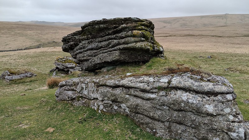 This tor of delightful proportions consists of sprawling rocks on the west side of Broad Down, parts of which possess some remarkable horizontal jointing. To the south of the wall (Rowter Wall) another low lying outcrop can be seen. The full extent of this tor is shown on OS Maps but it wasn't named until March 2023 after Max Piper contacted the OS about the omission, which at the time was one of the most glaring of all. Perhaps to some extent the tor outcrops are depicted as much bigger than they actually are, but they are nonetheless significant. 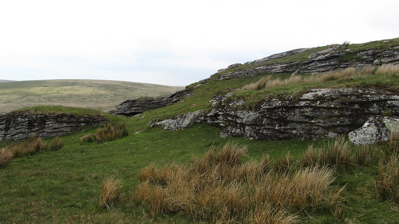 The best part is probably that which is closest to the Cherry Brook where several distinctive outcrops with closely packed fissures in the granite are seen. On one of the lowest (SX 62239 79904) is a fine xenolith; country rock absorbed into the granite. The tor sits at a lofty elevation of over 510m characterised by a surprisingly bare grassy summit with low outcrops scattered just below. With the most prominent section closest to Rowter Wall already described, the northern rocks are comparatively very lowly, yet they cover a large area warranting attention. On the north-east side the rocks here are more pronounced. 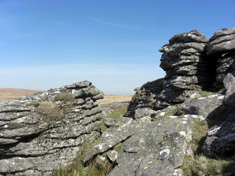 The views are very fine indeed, and the tor is usually more peaceful than its neighbours owing to its distance from the rest of the more accessible Longaford ridge north of Two Bridges. It is, however, not too long a walk from Postbridge which, albeit quite steep, is well worth the labour on a clear day. The solitude is incredible. 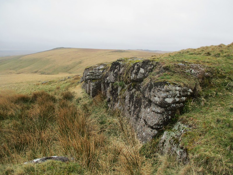 Hemery (1983) describes these outcrops as 'Rowter Moor Rocks' but Brown (1995) introduces the name of 'Braddon Tor'. It is also known in the letterboxing community as 'Hoax Tor', a name that is shown only on one map by the MOD that was published in 2007/8. At around the same time it acquired the name of 'Samuel Tor' with a plaque dedicated to Samuel Nigel George Ayers, a little boy who died in 2006. The plaque has not been noticed in recent years.
| ||||||||||||||||||||||||||||||