TORS OF DARTMOOR
a database of both lesser- & well-known rocks and outcrops
Brat TorBrattor, Brai Tor, Braitor, Bray Tor, Braytor, Widgery Tor, Widgery Cross, Lur Tor, Broad Tor, Bra Tor, Brae Tor
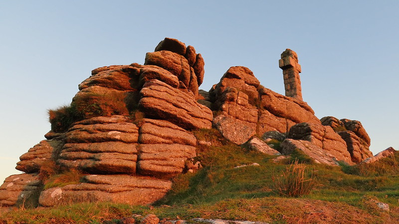
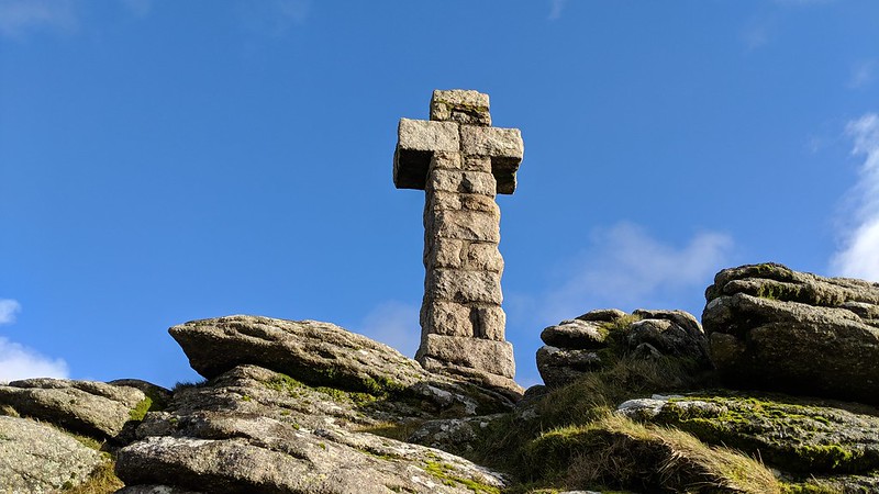
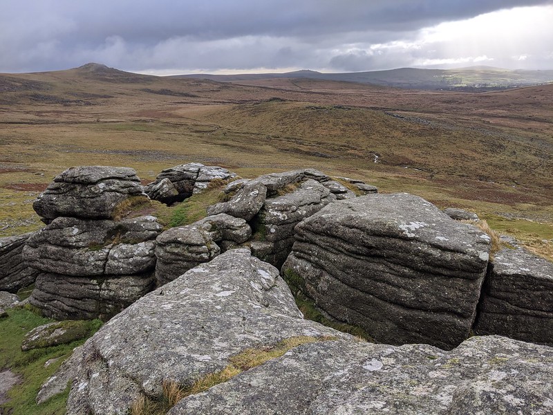
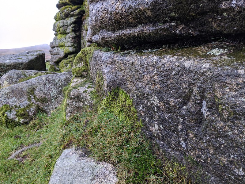
 One cannot fail to spot this eminence when driving along the A386 road because of Widgery Cross; a large monument commemorating Queen Victoria's Golden Jubilee in 1887. The tor has been awarded many other names in the past including 'Widgery Tor' as written on the plaque at Black Rock below, and 'Brai Tor' which is arguably the more correct appellation as Hemery (1983) explains; "The pronunciation is 'Bray', and the colloquial 'Braytor' has led OS into using the absurd misnomer 'Brat Tor'. 'Brai' is given by the Tithes Map of 1839, by Besley's Map, by Rowe, Page, Crossing and Spencer (Maps). Despite the prevalence of the 'Brai' spelling in various publications, the mistranscribed Brat Tor still remains on maps to this day and is far more used and well-known.  Understandably, Widgery Cross receives the majority of the attention as boasts a number of features: it is the highest standing Dartmoor cross that is situated outside of a cemetery, it possesses the highest elevation of any cross, and is unusual in that unlike other crosses its shaft comprises several granite blocks stacked on top of one another. The Lydford Village website adds further details; "The cross is almost 12ft 8 inches (3.86 metres) in height and has a span of 4ft 4 inches (1.32 metres), the words "W. Widgery, Fecit, Jubilee VR" are inscribed on the eastern side of the base stone. The cross is orientated on an east - west alignment." Views from here across parts of the West Devon countryside and as far as Bodmin Moor in Cornwall are exceptional and elsewhere particularly looking to the south east the rugged tors of Lydford Sharp and Hare form a splendid scene.  The summit of Brai Tor itself is a large outcrop, and when approaching from the south side, not only will you notice a great deal of clitter but you will see low, fissured outcrops whose jointings run parallel to the steep gradient of the hill. Attempts to split the granite can be seen on the hillside where rocks show tare and feather marks such as at SX 53894 85492 and SX 53707 85807, whilst up on the summit beside the cross the initials 'FP' are seen, though what these denote is not entirely clear. Below this, on the north side at SX 53951 85604, an OS benchmark can be found using a break in the vertical rock face as a datum line where the surveyors would have obtained a height in feet from. This particular site was measured to be 1494.9 feet above sea level. Brai Tor can be approached from any direction but is most commonly reached from the west from High Down where its huge dome towers above the River Lyd. It may be an arduous ascent, but the extensive vista laid out in front of the visitor is sure to impress, and there are a number of features to look out for. 
| ||||||||||||||||||||||||||||