TORS OF DARTMOOR
a database of both lesser- & well-known rocks and outcrops
Brent TorBrentor, Brentor Church, Brente Torre, Brin Tar, Bryn Twr, Beacon Tor, Brennon Tor, Brennan Tor, Burnt Tor, Brenter, North Brent Tor, Bremptetorre, Brendetorre, Brentetorre, Bryntetor, Brintetorre 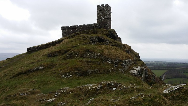 The church of St Michael de Rupe dominates this non-granite outcrop standing out from many vantage points on the western edge of the moor it is a well-known landmark for miles around. This is the most westerly tor in the National Park, and it can be easily accessed from a nearby car park. In an account from 1828 Henry Edmund Carrington is one of the first to offer a description of both the tor and church he writes "As we proceed our attention is forcibly struck with the romantic appearance of Brent-tor and the little antique church on its summit. On approaching more closely to that singular rock we find it difficult to account for the erection of a place of worship on so wild and exposed a site." 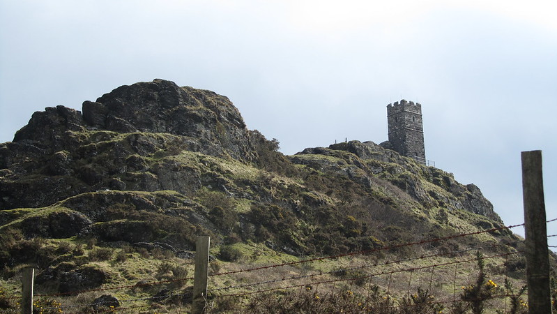 He then proceeds to explain a legend associated with the church "A rich merchant who had toiled away in the early part of his life in a 'farre countrie' was returning home to enjoy in peace the fruits of his industry. Before however, the slopes of England met his view a fearful tempest overtook the ship and in a moment of danger he vowed that if his life were spared, he would build a church on the first land he saw. The storm at length ceased. Shortly afterward Brent-tor was seen peering up in the horizon and the merchant faithfully performed his vow." Carrington comments that the church atop is small and gives the dimensions of 37 feet long by 14 feet wide, he adds "The tower stands on the edge of a perpendicular cliff and the rocks around it are picturesquely interspersed with patches of green sward." The author then shares the idea that the hill on which the tor stands is in essence an extinct volcano, a theory attributed to "a writer in the Gentleman's Magazine Vol X" one that is founded on account of the hill's "conical shape and the porosity of the rock of which it is composed." 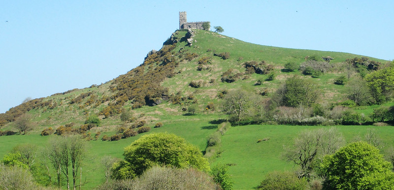 In 1909 William Crossing recounts another of the tales associated with the setting; "Several traditions of the kind are usually found in connection with buildings placed in curious situations attach to the church on this hill. One says it was intended to build it at the foot of the tor, but the Evil One came continually by night and carried the stones that the builders had placed during the day up the steep sides of the hill to its crest. At length it was deemed expedient to let Satan have his way, and the church was erected on the site he had chosen for it..." A more factual account of the origins of the church is provided in the book The Pilgrim's Guide to Devon's Churches from 2008 where the earliest date of the name is recorded as 1150, although as it stands today the church is probably more accurately dated to the: "13th century with 15th century alterations and a 15th century tower." According to the book the church was restored between 1889 and 1890 and is still to this day, lit by gas lights. 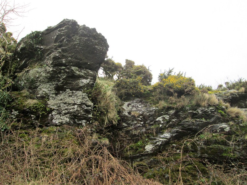 Carrington's account would not be complete without his usual evocative commentary this time on the view from the summit of Brent Tor a vista he describes as "very extensive" and then "Towards the south is a varied champaign of woods, heaths and fields bounded by the sea, which is however so remote that it can scarcely be distinguished from the sky. Mount Edgecumbe is plainly visible. In the east are the wilds of Dartmoor and towards the west and north stretches away a vast tract of cultivated landscape." Away from the attractions of the highest point there are for those that care to visit some other interesting albeit lowly crags lying down on the south slopes of the massif at SX 4718 8030, this perhaps even a small tor in its own right.
| ||||||||||||||||||||||||||||||