William Crossing, when describing the scene upstream of the Tavy from the Power Station; "Between this clam and Horndon Bridge are some fine crags. One of these we may see as we look up the stream. This is High Tor, the others being Fox Tor and Brimhill Tor." With time passing, the trees have dwarfed the crags and the only way to see them is to enter the woods.
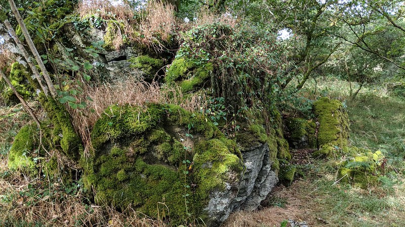
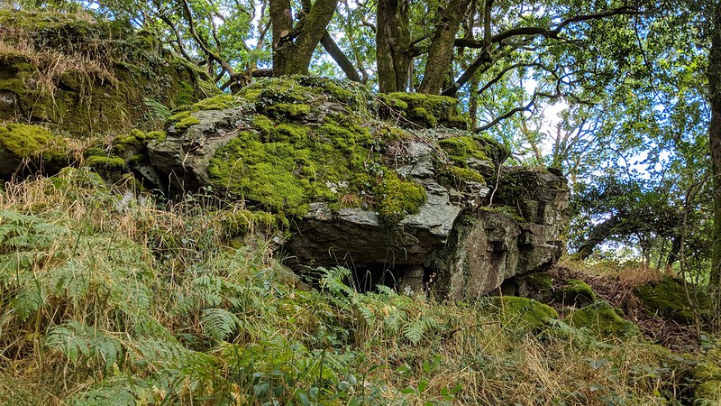
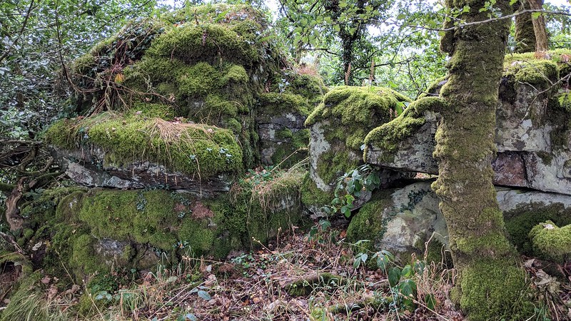
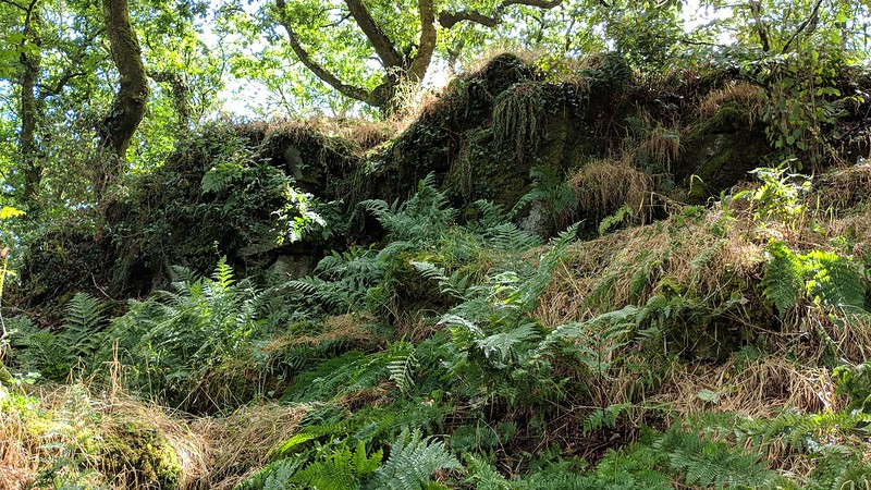
Brimhill Tor is situated just within Private Land at the end of Brimhill Lane. At first this appears to be a scruffy pile covered in vegetation but further exploration reveals an extensive tor with many outcrops cascading down to the river below.
Although this is deemed to be on Private Land we saw no signs indicating it was forbidden to visit, but proceed with caution observing signage if in evidence.
Brimhill Tor
The map above is not a navigation tool and we recommend that the grid reference shown below is used in conjunction with an Ordnance Survey map and that training in its use with a compass is advised.
Grid Ref:
SX 5181 7947
Height:
220m
Parish:
Mary Tavy
Tor Classification:
Valley Side
Access:
Private (but accessible)
Rock Type:
Sedimentary
Credit:
Ordnance Survey
Reference / Further Reading:
Ordnance Survey Maps
Please Support Us
We are proud to see the names of lesser-known tors are now being used more commonly on other websites and whilst this is to be encouraged we do request that, should you wish to use the information on this page, you provide a backlink to the website as reference, by copying the relevant address:
Please also consider a small donation to the upkeep of the site; any contribution goes toward the fees to keep the database online and any costs incurred when undertaking research such as subscriptions to online archives.