TORS OF DARTMOOR
a database of both lesser- & well-known rocks and outcrops
Broad Amicombe HoleAmicombe Rock 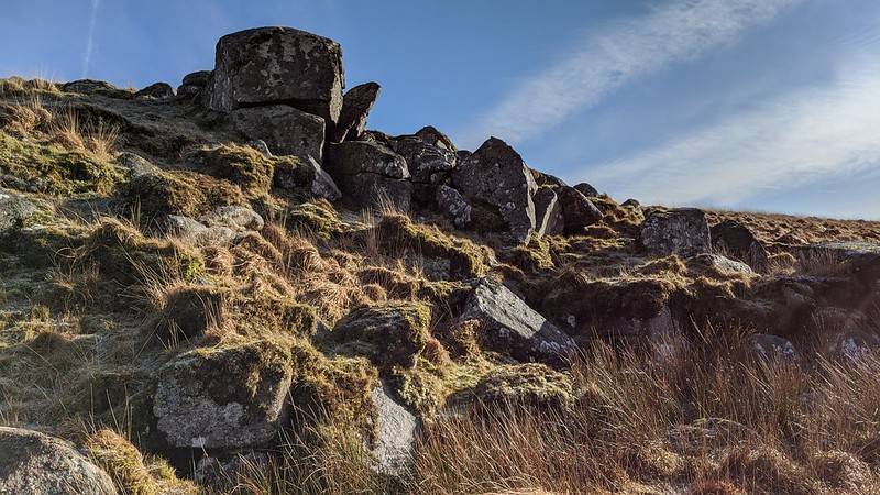 Not shown on modern day Ordnance Survey maps the name of Broad Amicombe Hole first appears in William Crossing's Guide to Dartmoor (1912 edition reprinted 1990) where the author explains that it is a 'hollow between Great Kneeset and that part of Amicombe Hill usually known as Broad Amicombe.' Here where the infant Amicombe Water begins its journey south in a remote spot under the lower west flank of Great Kneeset at SX 5782 8566, lies a small but impressive tor on the east bank. Several large boulders are scattered under the compact main outcrop from which views to the north are especially good taking in parts of the West Okement Valley under Fordsland Ledge beyond Lints Tor. 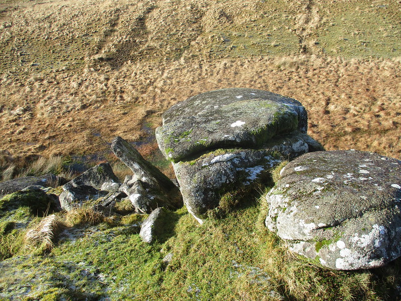 Writing many years later Eric Hemery (1983) also describes the area but what is particularly surprising is that neither author seems to mention the small tor, which given its prominence is a curious oversight, although Hemery (p 972) when describing the source of Amicombe Water does indicate that it starts between Broad Amicombe and an 'outcrop of rock under Great Kneeset', and this could well be the tor in question. The Harvey Map of the area, to which Hemery was affiliated, does show the location of Broad Amicombe Hole but Mike Brown's (1995) grid reference for the feature in The Gazetteer of Dartmoor Names, places it too far to the north. Paul Rendell, in Dartmoor News Issue 154 January/February 2017, calls the tor 'Amicombe Rock', and other names for the area include Annicombe (Smith 1966) and Aunacombe (Hemery 1983). 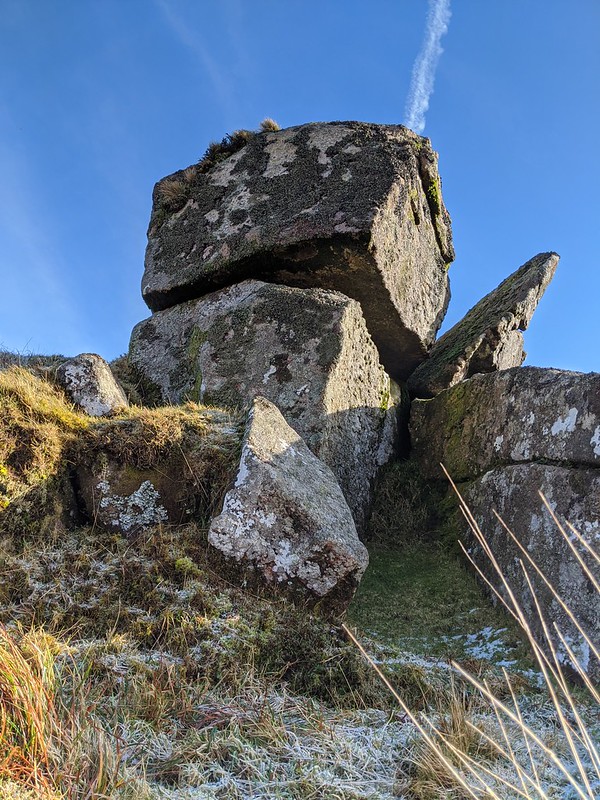 On the hillside to the north west of the tor where it is plainly visible, there is a curious lone boulder at SX 5734 8591 that is known as 'Ring Rock' on account of it having two iron tethering rings for horses in the granite with a third now broken off. 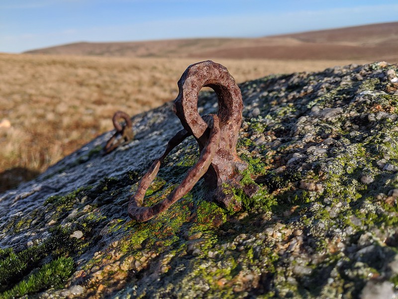
| ||||||||||||||||||||||||||||||