TORS OF DARTMOOR
a database of both lesser- & well-known rocks and outcrops
Broada Stones
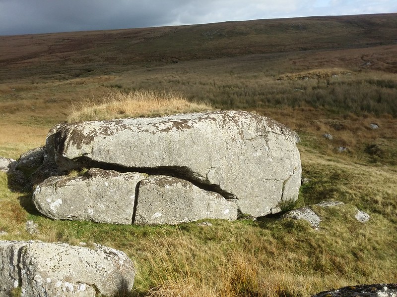 North of Postbridge, near the centre of Dartmoor, the East Dart River has carved a beautiful course from its head in the heart of the remote North Moor. Passing numerous tinners' huts, the secluded Kit Steps and Sandy Hole Pass and the magical East Dart Waterfall, there is much to love about the area. A short way to the north-west of Sandy Hole Pass, there are two groups of unassuming outcrops to the south of the river that overlook the infamous Broada Marsh, a massive pan of treacherous bog. These rocks are sat either side of Broada (or Broady) Marsh Stream that has passed through Cowflop Bottom (cowflop means foxglove on Dartmoor) to reach what Hemery (1983) describes as a "wild little valley", yet he somehow fails to mention the outcrops here at its conclusion. 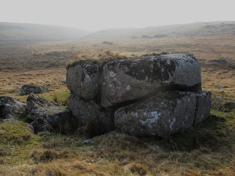 It is Brown (1995), in his Gazetteer, who seems to be the first to acknowledge the existence of the outcrops here, supplying us with the somewhat tentative NGR of SX 618 819, although this puts Broada Stones somewhere in Broada (OS 'Broad') Marsh, where no exposed granite resides and the location of the outcrops is actually to the south. The two groups of rocks that constitute Broada Stones are quite obvious and it is their proximity to the Marsh that has most probably given them their name, but there is no indication in the literature of the actual link between the two. 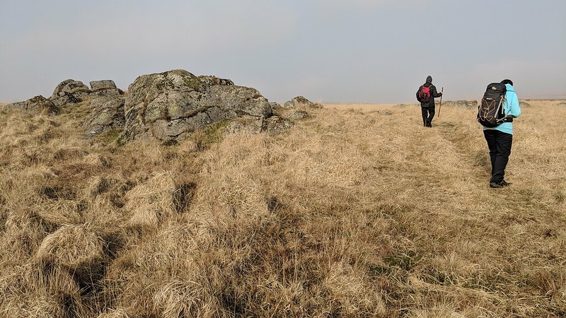 Tinners have worked the area extensively here and there are two tinners' huts beside Broada Marsh Stream that are fine examples of the type of dwellings that the moormen lived in, in such an exposed, harsh landscape. Of the Stones, the west group is the largest consisting of modest, grass-topped boulders, and the east group while much the same are somewhat flatter and less distinct. 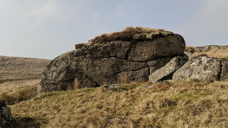 Broada Stones occupy a stunning position in the valley-floor where Broada Marsh Stream empties into the river. On a still, calm day, with both watercourses flowing through their shallow valleys, the walker can reflect on the special memories that this scene evokes. The gentle slope of the north bank of the East Dart above the Marsh lifts itself to greater heights northward, such as the boggy pan of Winney's Down, yet here, down beside the river, you are within a scene of great beauty that is among one of the finest of East Dart Country where the relics of our industrial past can be observed.
| ||||||||||||||||||||||||||||||