TORS OF DARTMOOR

a database of both lesser- & well-known rocks and outcrops

Home Search Map The East Access About Team Social Blog

Broadmoor Common East

Upperton Tor

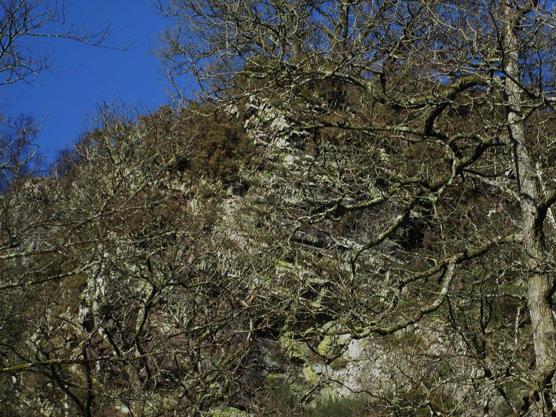
There is a magnificent cliff of broken shale rock at the far eastern edge of Broadmoor Common that extends almost to the river's edge from on high for some 200 metres or so and is marked as such on the OS map but without a name.

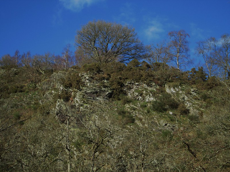
It is clearly an extension and the most impressive part of that known locally as the 'bad rock' that spreads across the common and so named on account of its appearance and probable lack of usefulness as a building material.

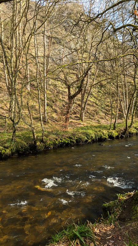
This part is a huge ridge of fragmented bedrock of two main portions spread along the steep slope of the common above and into the tree line just where the River Teign takes a bend towards Clifford Bridge.
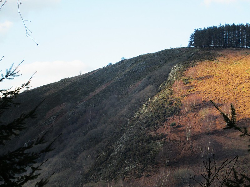
icon
icon
Broadmoor Common East
The map above is not a navigation tool and we recommend that the grid reference shown below is used in conjunction with an Ordnance Survey map and that training in its use with a compass is advised.
Grid Ref:
SX 761 899
Height:
200m
Parish:
Drewsteignton
Tor Classification:
Valley Side
Access:
Private (but visible from public land)
Rock Type:
Metamorphic
Credit:
Dr. Tim Harrod
Reference / Further Reading:
Tim Jenkinson: East Dartmoor The Hidden Landscape: Rocks and Tors (published privately)

Please Support Us

We are proud to see the names of lesser-known tors are now being used more commonly on other websites and whilst this is to be encouraged we do request that, should you wish to use the information on this page, you provide a backlink to the website as reference, by copying the relevant address:

https://www.torsofdartmoor.co.uk/tor-page.php?tor=broadmoor-common-east

Please also consider a small donation to the upkeep of the site; any contribution goes toward the fees to keep the database online and any costs incurred when undertaking research such as subscriptions to online archives.