TORS OF DARTMOOR

a database of both lesser- & well-known rocks and outcrops

Home Search Map The East Access About Team Social Blog

Broadun Rocks West

Broad Down

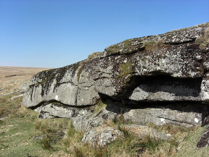
The finest outcrop of the Broadun range is found on the western side of the Down. This tor like outcrop reaches at least 3 metres on the south side as can be seen here.

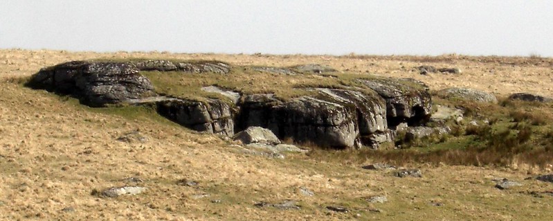
We learn from Eric Hemery (1983) that the various outcrops straddling the down are collectively known as Broadun Rocks and that they are never referred to as Broadown Tors, this being a misnomer introduced in error in the original version of Dartmoor A New Study in 1970 edited by Crispin Gill. It turned out to be a total misprint and should have read 'Beardown' along with Fur Tor for the erroneous 'Lur Tor' that featured in the same sentence.

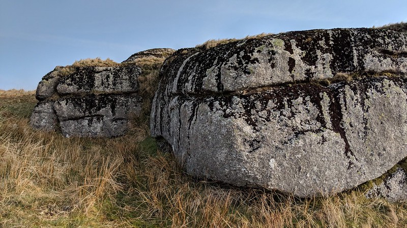
Yet despite all this Ken Ringwood (2013) still uses that discredited name as an alternative to describe the outcrops on Broad Down in his book on Dartmoor Tors.
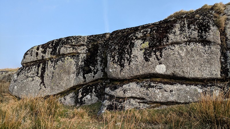
icon
icon
Broadun Rocks West
The map above is not a navigation tool and we recommend that the grid reference shown below is used in conjunction with an Ordnance Survey map and that training in its use with a compass is advised.
Grid Ref:
SX 6309 8053
Height:
484m
Parish:
Dartmoor Forest
Tor Classification:
Emergent
Access:
Public
Rock Type:
Granite
Credit:
Eric Hemery
Tim Jenkinson
Reference / Further Reading:
Eric Hemery: High Dartmoor

Please Support Us

We are proud to see the names of lesser-known tors are now being used more commonly on other websites and whilst this is to be encouraged we do request that, should you wish to use the information on this page, you provide a backlink to the website as reference, by copying the relevant address:

https://www.torsofdartmoor.co.uk/tor-page.php?tor=broadun-rocks-west

Please also consider a small donation to the upkeep of the site; any contribution goes toward the fees to keep the database online and any costs incurred when undertaking research such as subscriptions to online archives.