TORS OF DARTMOOR
a database of both lesser- & well-known rocks and outcrops
Broomage TorBrimage Tor, Broomedge Tor, Brimedge Tor
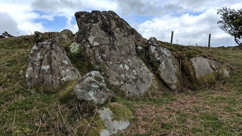 This could be described as one of Dartmoor's 'elusive rockpiles' as it has never until now been located, despite being described by William Crossing in 'One Hundred Years on Dartmoor' (1901) where he states; "Broomedge Tor, usually called Brimage Tor; at the northern end of Crownhill Down, in the vicinity of the clay works." It seems that post Crossing's time the name has mutated to 'Broomage', which is believable. He goes further, giving us an indication as to its position on the down; "Crownhill Tor, a small pile on Crownhill Down, not far from Broomedge Tor." Samuel Rowe (1848) interestingly uses 'Brimedge'. 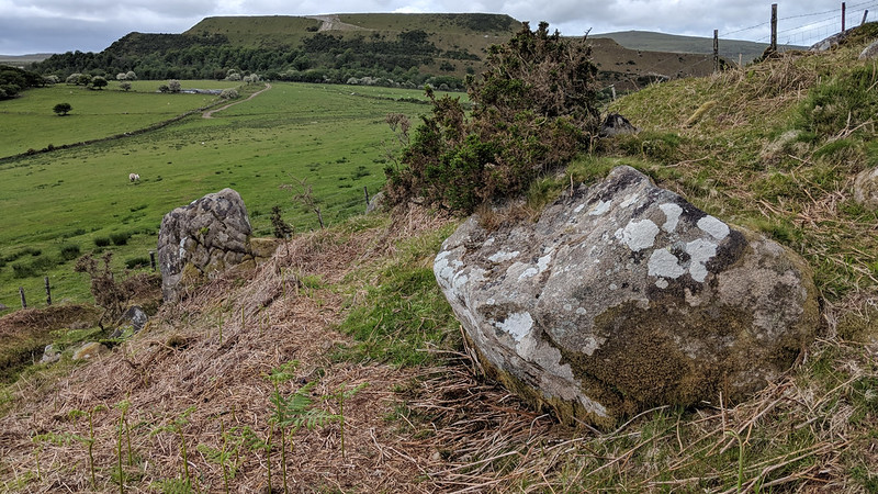 Dr. Peter Sanders and Alan Watson, in their quest to bag 380 tors (1996), try to decipher Crossing's description with this comment; "Crossing mentions this tor in passing, it is so insignificant that it is easily overlooked. A few stones none of them large, protruding on the west side of Ridding Down mark the site of this tor." They provided a GR (Grid Reference) of SX 578 611. Using this advice, Paul Rendell and Max Piper teamed up to go in search of this 'lost' tor on the 27th May 2019, eventually finding it a mere 150 metres north of the ruins of the same name. This discovery was then published in Dartmoor News Issue 169 July/August 2019: 'Exploring the Tors around Lee Moor.' It was found at SX 57841 61053, just east of Sanders and Watson's GR which was most likely an estimate (as there is nothing there), also fitting with William Crossing's interpretation of being "not far from Crownhill Tor." 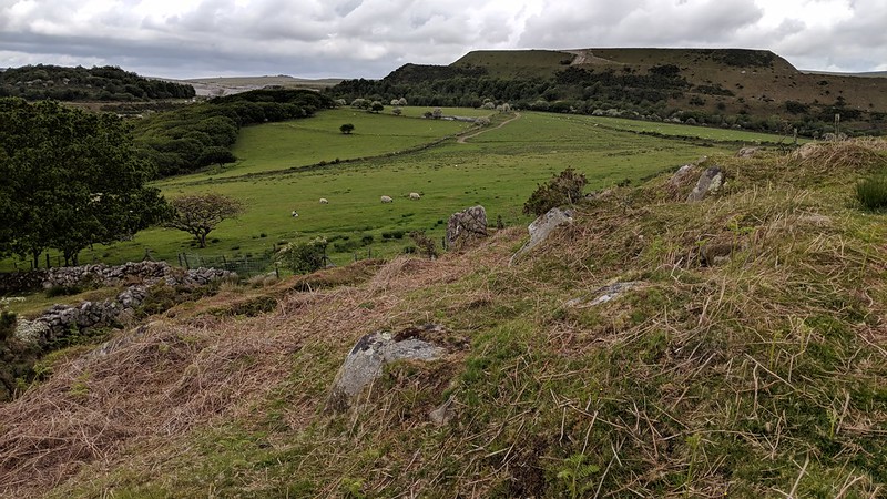 The tor itself is a large mound of granite and grass which is a conspicuous landmark immediately north-east of Crownhill Tor, visible from both Tolchmoor Gate and Whitehill Tor, on the west side of Ridding Down. Standing atop Broomage Tor, with the wall and leat below you, there is evidence that granite from the tor was used to build the former, and the leat which is now dry contours around the slope of the hill. With a fence at its summit, access is best from the south where a gate enables access onto the moorland between both Broomage and Crownhill Tors, via a public footpath past the farm ruins. A fine example of a ruined tor, the views are good: Penn Beacon and Great Trowlesworthy Tor are seen to the north, and the high ground continues eastward towards Butterdon Hill and Western Beacon. 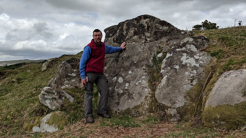
| ||||||||||||||||||||||||||||