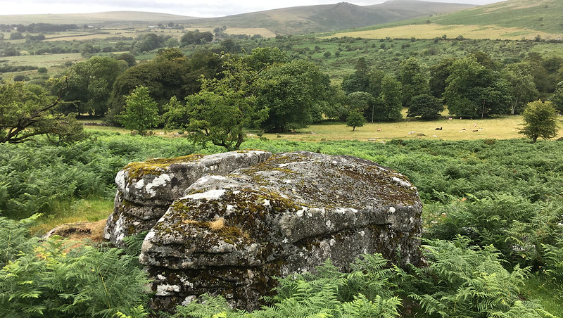
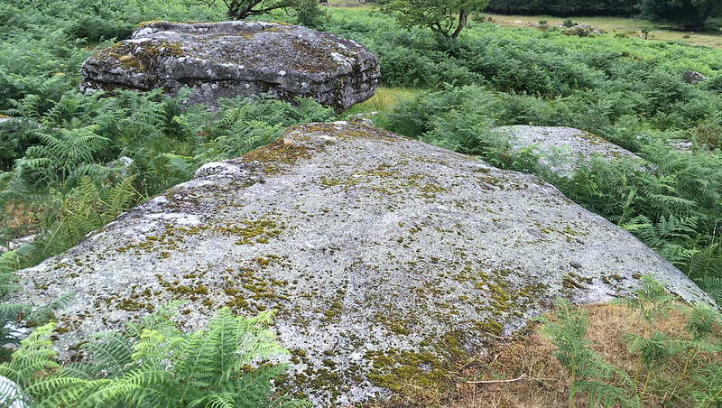
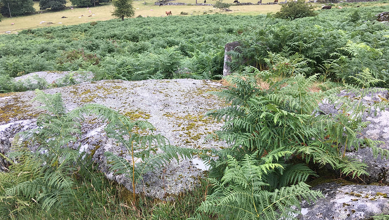
A short small granite outcrop in a field above Baggator Farm. The nearby wall to the south has no gate.
Eric Hemery says: "The small rock-pile of elvan from which the farm was first named, Brownsdon Tor (approx 1670 feet), lies a ruin in the field east of the farm lane. Much of the tor has been taken for building-material - even for the medieval wall seen running from it - and the clitter cleared to the edge of the field, many years ago, by horse-power." Like nearby Bagga Tor, this outcrop is actually granite.
Although on Private Land, the tor can be viewed from the field entrance.
Brousentor
The map above is not a navigation tool and we recommend that the grid reference shown below is used in conjunction with an Ordnance Survey map and that training in its use with a compass is advised.
Grid Ref:
SX 5471 8072
Height:
340m
Parish:
Peter Tavy
Tor Classification:
Ruined
Access:
Private (but visible from public land)
Rock Type:
Granite
Credit:
Eric Hemery
Reference / Further Reading:
Eric Hemery: High Dartmoor
Please Support Us
We are proud to see the names of lesser-known tors are now being used more commonly on other websites and whilst this is to be encouraged we do request that, should you wish to use the information on this page, you provide a backlink to the website as reference, by copying the relevant address:
Please also consider a small donation to the upkeep of the site; any contribution goes toward the fees to keep the database online and any costs incurred when undertaking research such as subscriptions to online archives.