TORS OF DARTMOOR
a database of both lesser- & well-known rocks and outcrops
Buck Tor
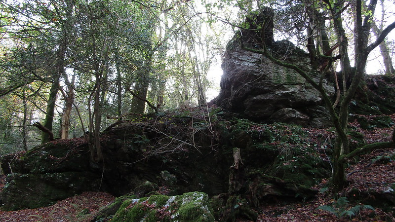 Situated beside the West Devon Way, to the east of Double Waters, there is a tall non-granite outcrop with a strange looking overhang atop that resembles a diving board on a tilt. This sharp projection enables the tor to be easily spotted from the track to the north. 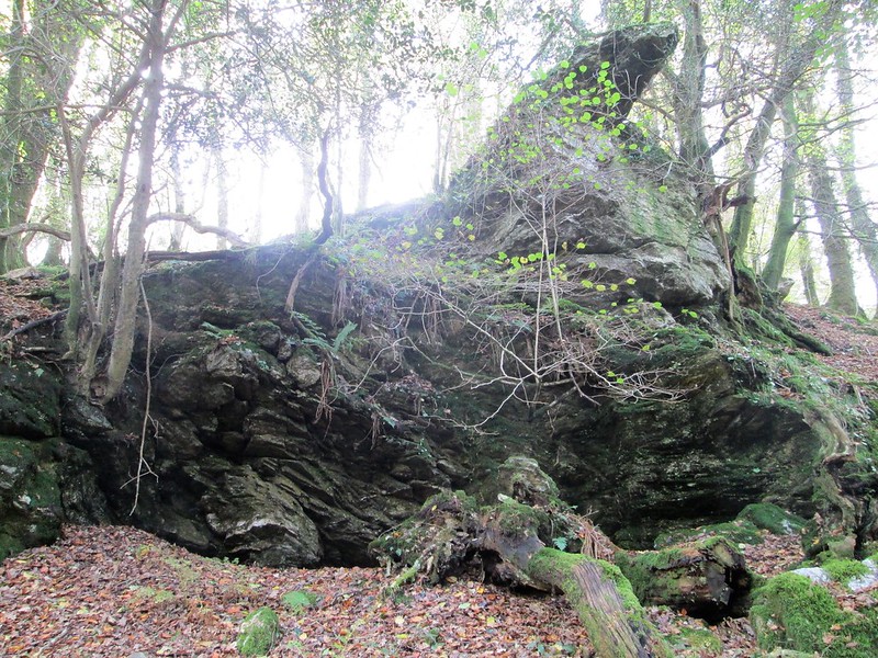 Crossing (1912) only gives a brief reference to Buck Tor that makes pinpointing its exact location troublesome, especially as he fails to describe its appearance. When speaking of the meeting of the Tavy and the Walkham Rivers at Double Waters, the author writes: "Overlooking the Walkham above the confluence are Buck Tor, and the crag known as the Raven Rock." Given that this is the closest outcrop to Bucktor Farm, we believe this to be the tor in question and not, as is often thought, 'Buckator', this being another rockpile that is located across the river high on the slopes of West Down. Bucktor Farm itself is of historic importance being documented by Heritage Gateway as "a farmhouse with 16th century origins and a range of 19th century farm buildings." 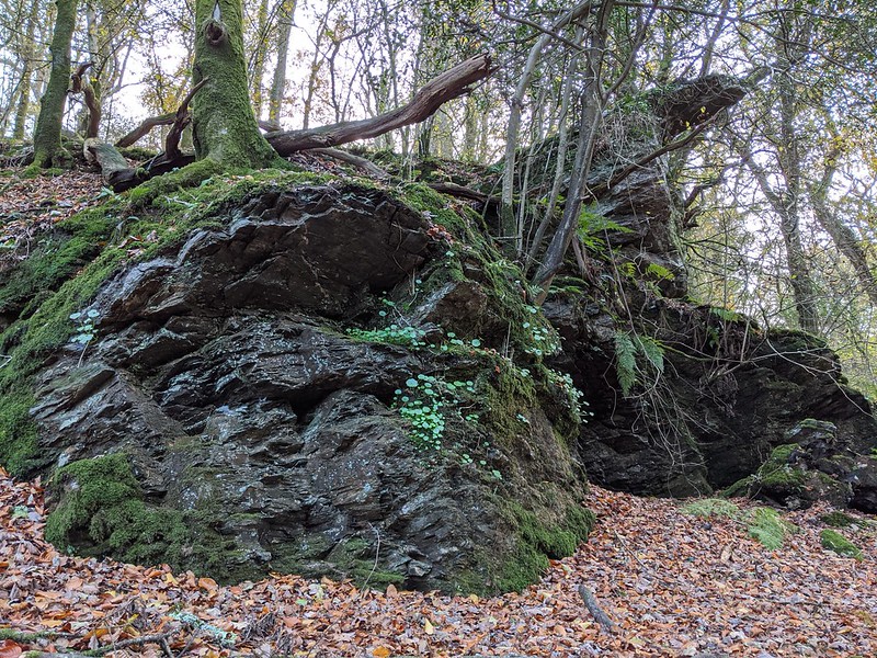 The appearance of the rockpile here is rugged and yet strangely grotesque, where dark irregular rocks loom skyward. Nearby the remains of the Lower Walkham Valley's mining heritage abound, particularly to the east where an old adit can be found but also above where the now dry Lady Bertha Leat resides, this once taking water from the Walkham to the same named Mine which was situated about a kilometre or so to the south-west. Copper mining was an important industry in the vicinity and the neighbouring hillsides and vales were plundered for that raw material. Nearby the Virtuous Lady Mine was active in the 19th Century and although copper was the prime substance mined there, Rendell (1996) advises that "Many mines also produced tin, lead and arsenic as by-products..." 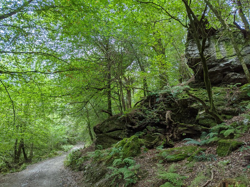 The Survey of English Place-Names records that the name of 'Bucktor' has its etymology with Buckatordowne as recorded in the Recovery Rolls of 1613, which then became 'Bucks Tor' or 'Bucca's Tor', and the tor itself is worth a visit when exploring the abundant remains of this secluded valley on the far western edge of Dartmoor National Park.
| ||||||||||||||||||||||||||||||