TORS OF DARTMOOR
a database of both lesser- & well-known rocks and outcrops
BuckatorBuck-a-Tor 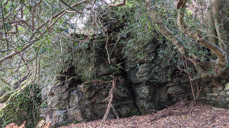 Cascading down the slopes of West Down to the River Walkham, this collection of sedimentary outcrops lie just outside the boundary of the National Park, but deserve to be included. 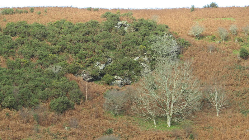 Although Terry Bound cites what he calls 'Bucktor' as being on the north bank of the river, it is actually on the opposite bank, a fact that is confirmed by the Wikimapia website. However despite this error he does offer an appropriate description of the site saying that the tor "does not stand proud of the surrounding land but lies flat against the hillside, hiding itself among the numerous gorse bushes." This is certainly true; the tor requires exploring to appreciate the area it covers. From its base, which is just above the house called Buckator and a public bridleway, it presents as a series of low, flattened outcrops that are embedded into the hillside. A few minor paths weave through the rocks taking you to the right-hand side of a much more impressive face of rock, which is part-involved in a short, ruined wall. 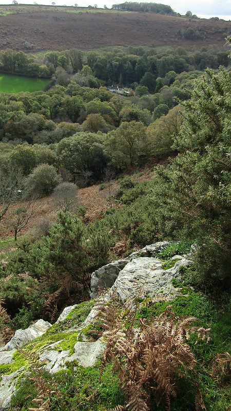 Breaking out onto an open, bracken moorland further outcrops appear sparsely scattered amid patches of furze and briar. These offer splendid views of the Lower Walkham Valley but the rocks are seen at their best from the loftier reaches of the opposing valley side above Bucktor Farm. The rocks here are better accessed during the winter months when they are easier to find and sit upon. 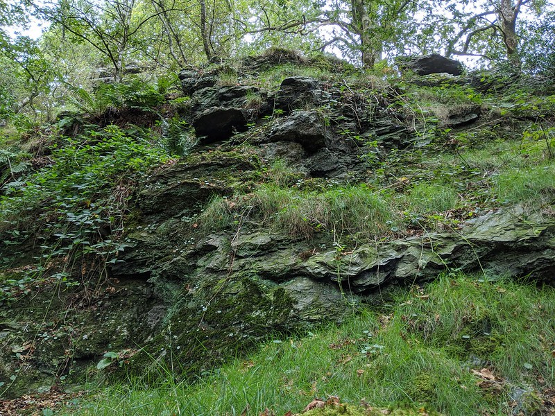 The origin of the name 'Buckator' is most certainly linked to that of 'Bucktor' which has its etymology with Buckatordowne as recorded in the Recovery Rolls of 1613. This subsequently became 'Bucks Tor' or 'Bucca's Tor'. It is thought that a 'Bucka' or 'Bucca' is a Cornish spirit (mythological creature) that is said to inhabit coastal areas and mines, and when you consider the abundant mine workings at both the nearby Virtuous Lady and West Down Mines, this doesn't seem too far fetched of a theory.
| ||||||||||||||||||||||||||||||