Clearly marked on OS maps the tor nowadays resides in private woodland and at one time could be reached across fields from the top of the public footpath as it breaks through the woods above Bullaton Farm.
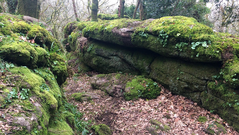
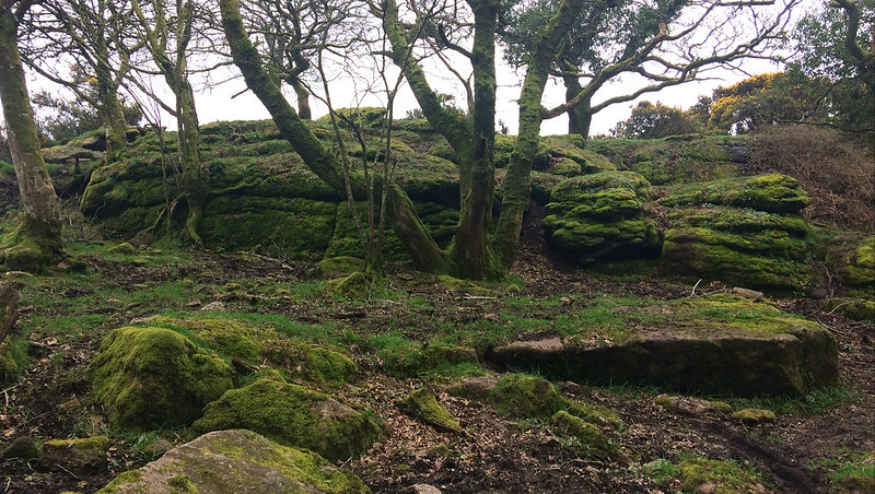
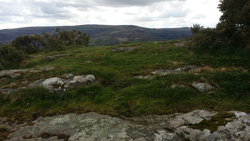
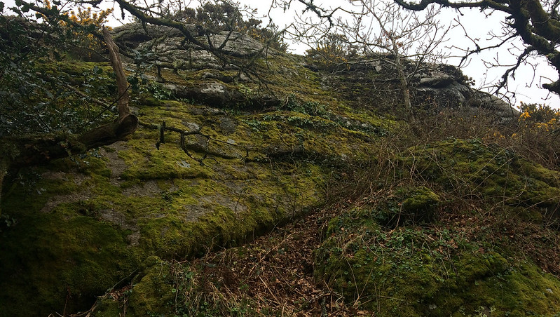
The Rock is mostly vegetation covered and is best seen from below. There are grand views from its summit over much of the Wray Valley area.
On a visit to Lustleigh by train in 1892 John Chudleigh provides the following account; "Bullaton Rock may be seen high on the hill to the right of the station. It is a steep climb to the summit, but the view well repays the labour." Alas the rock is no longer visible from most spots due to afforestation and the railway is closed, the station now a private dwelling.
Bullaton Rock
The map above is not a navigation tool and we recommend that the grid reference shown below is used in conjunction with an Ordnance Survey map and that training in its use with a compass is advised.
Grid Ref:
SX 7964 8221
Height:
271m
Parish:
Bovey Tracey
Tor Classification:
Summit
Access:
Private (but accessible)
Rock Type:
Granite
Credit:
John Chudleigh Ordnance Survey
Reference / Further Reading:
Ordnance Survey Maps John Chudleigh (1892): An Exploration of Dartmoor's Antiquities
Please Support Us
We are proud to see the names of lesser-known tors are now being used more commonly on other websites and whilst this is to be encouraged we do request that, should you wish to use the information on this page, you provide a backlink to the website as reference, by copying the relevant address:
Please also consider a small donation to the upkeep of the site; any contribution goes toward the fees to keep the database online and any costs incurred when undertaking research such as subscriptions to online archives.