TORS OF DARTMOOR
a database of both lesser- & well-known rocks and outcrops
Butterdon Down Tor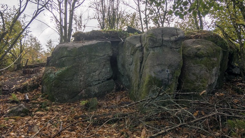 On the far northern side of Butterdon Down, in a plantation that was recently cleared as of October 2018, and extremely close to Willingstone Rock which lies immediately across the road, is an intriguing small tor. Despite its close proximity to the aforementioned Rock, the outcrop here is hardly related presenting as a much lower rockpile in comparison but possessing a strange formation that resembles a sleeping dragon. Small crevices have formed in the main blocks. 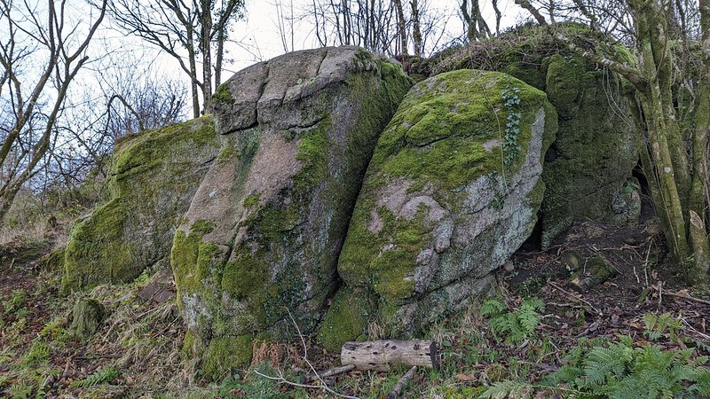 The tor spans a small area emerging from the hillside in the trees and a visit in 2018 showed that it was once bedecked with unsightly shelters and hammocks. The surrounding woodland is owned and managed by Running Deer, a small, non-profit organisation located nearby whose main aim is to encourage people in the community to make a difference in their lives. Their website says of Butterdon Wood: "Running Deer C.I.C purchased the 16 acre woodland in July 2013 as an overgrown plantation of Japanese Larch trees with mixed broadleaf including hazel, sweet chestnut, sycamore, cherry, holly and a few oak growing around the periphery." And in the same work: "...we have planted over 3,000 indigenous broadleaf trees at Butterdon Wood, alongside encouraging natural regeneration of native species following the removal of the Japanese Larch." 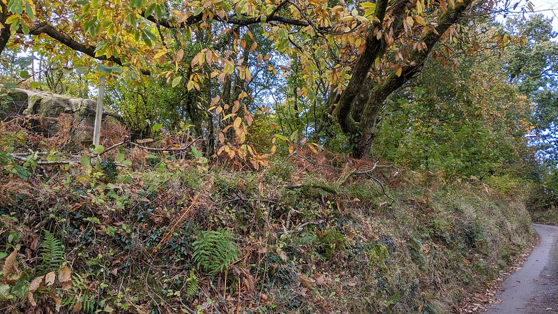 Were the area completely clear of trees, both Butterdon Down Tor and Willingstone Rock would oppose one another across the road but the stature of the latter would easily dominate the local scene rising as it does dramatically from the turf. 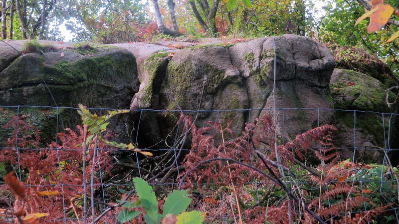 Max Piper spotted Butterdon Down Tor whilst walking the road in October 2018 and, for want of a tag, named it taking into account its position at the very edge of the Down. However, according to historic 19th Century Tithe Appointments this plot of land is known as 'Outside Field' and may well be seen as a continuation of the Down. The outcrop does reside on private land so to take a closer look permission should be sought at all times, but a limited perspective may be obtained from the road just down from the entrance drive to Willingstone Farm. It is a nonetheless curious feature in the local landscape that deserves some recognition.
| ||||||||||||||||||||||||||||