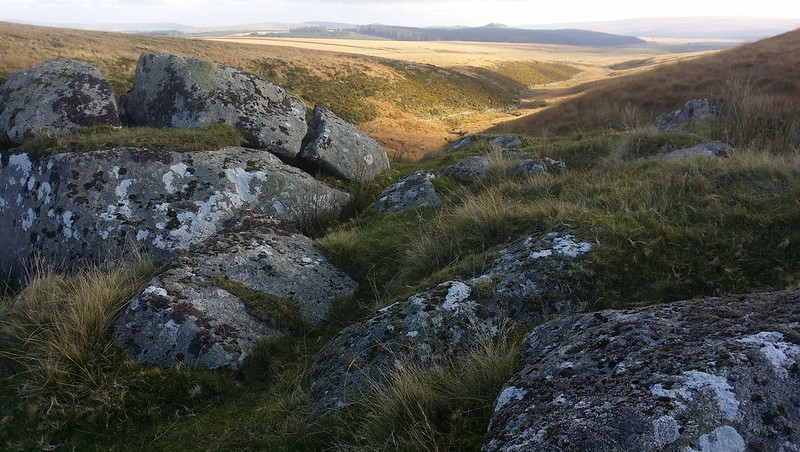
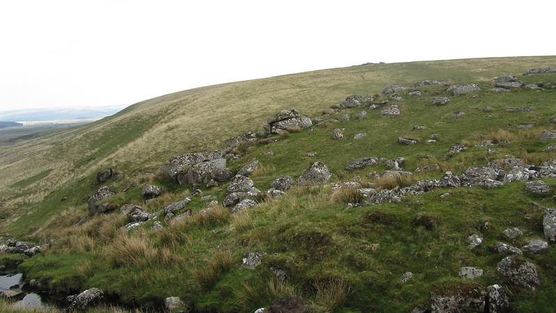
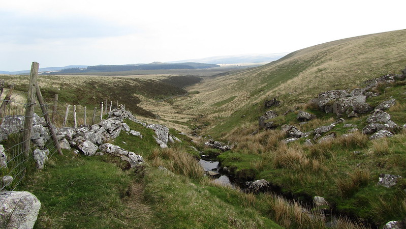
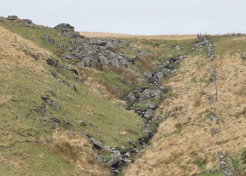
A collection of granite, nestled on the west bank of the Cherry Brook at the head of Hollowcombe Bottom. To the east, there is a wall that leads to Braddon Tor and Broad Down, to the south, a path takes you to Lower White and Longaford Tors.
Little is known regarding reference; the only mention we can find is on the Legendary Dartmoor website, in a list of named rocks, and a short description; "Small outcrop below Lower White Tor."
Cherrybrook Rocks
The map above is not a navigation tool and we recommend that the grid reference shown below is used in conjunction with an Ordnance Survey map and that training in its use with a compass is advised.
We are proud to see the names of lesser-known tors are now being used more commonly on other websites and whilst this is to be encouraged we do request that, should you wish to use the information on this page, you provide a backlink to the website as reference, by copying the relevant address:
Please also consider a small donation to the upkeep of the site; any contribution goes toward the fees to keep the database online and any costs incurred when undertaking research such as subscriptions to online archives.