TORS OF DARTMOOR
a database of both lesser- & well-known rocks and outcrops
Chittaford Down Rocks
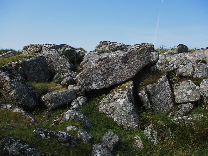 On the far north-west side of Chittaford (Chittleford) Down well beyond the Archerton Newtake is a fine spread of broken granite boulders where the valley side steepens sharply and a small brook gathers pace under the branches of a lone yet robust rowan tree. The rock field here is impressive cast across each side of the brook and some of the boulders resemble low outcrops especially on the north bank. 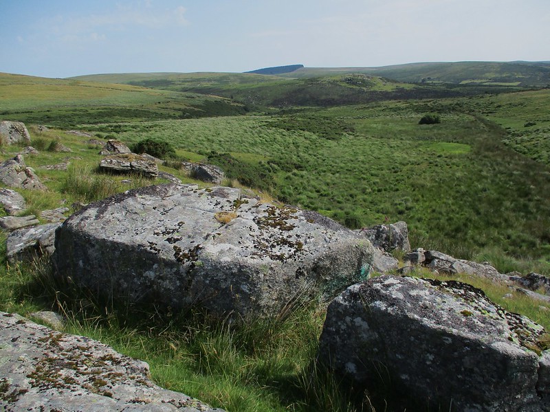 Eric Hemery (1983) captures the essence of the place: 'Archerton Brook now crosses a plain and approaches a beautiful rock hollow beneath a large rowan tree on the edge of a scarp over which it makes a boulder strewn fall camouflaged by rushes.' 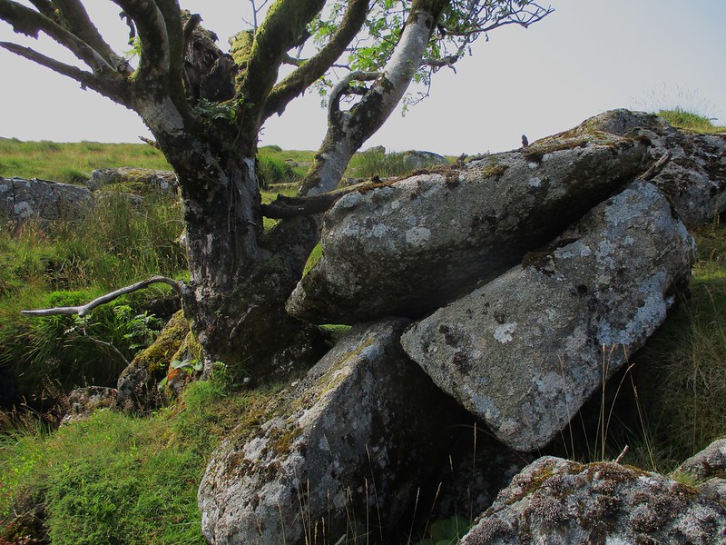 However, writing almost 100 years earlier in 1891, Arthur B. Prowse shows the stream here as Chittaford Brook, a name that seems to have fallen out of use today as it is not marked on maps. At the foot of Chittaford Down Rocks within a boggy area the now disused and dry Powdermills Leat contoured the hillside. It conveyed water from the East Dart River to the gunpowder factory at Powdermills. 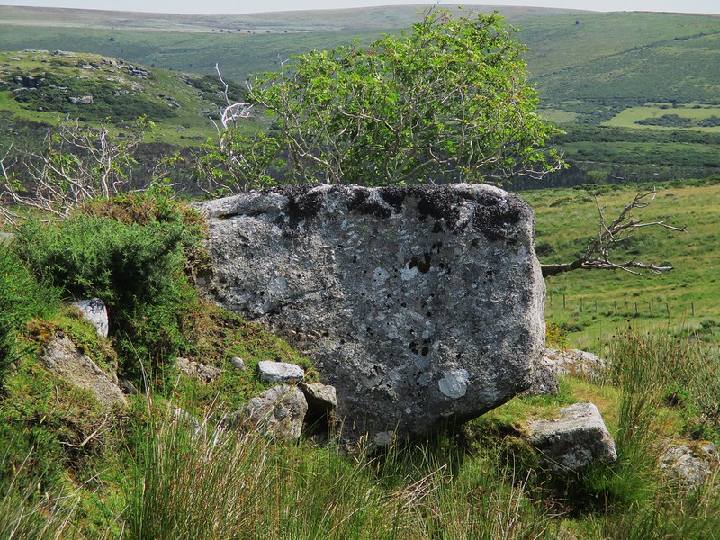 The views from the rocks are exceptional concentrated mainly to the north and east they take in the huge Broad Down and across the East Dart River is Hartland Tor at a similar elevation. An altogether special, secluded and lesser known location hardly ever visited by walkers the rocks on Chittaford Down can be reached by passing through two gates one on the lower fenced area above the track from Drift Lane Gate, locally Turf Road, and the other a large metal one on the higher boundary, but please remember to shut them tight behind you after passing through on the way up and back down.
| ||||||||||||||||||||||||||||||