TORS OF DARTMOOR
a database of both lesser- & well-known rocks and outcrops
Clay Tor (Hemery)Claytorre, Claytor Moor, Small Tor 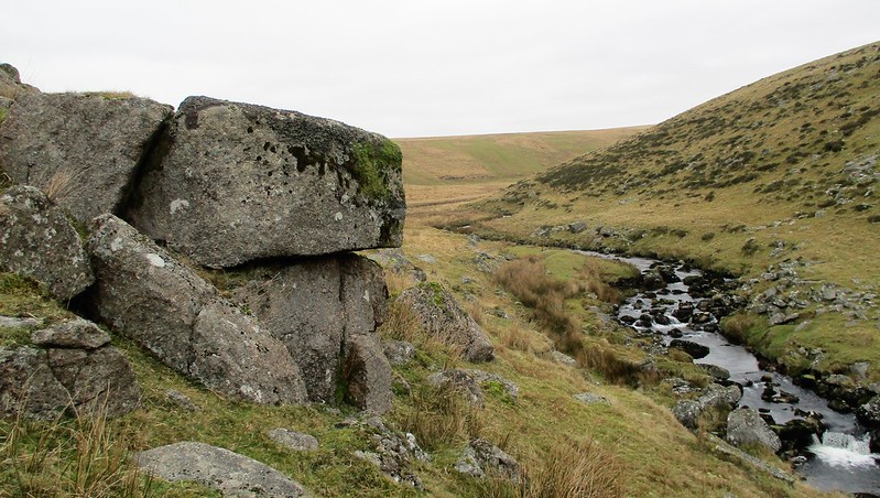 On the steep valley side above the Walkham there are a number of scattered, fissured outcrops of granite that sit within the Merrivale Firing Range. There is dispute that this tor is the one first mentioned by William Crossing, which is generally accepted to be sited further upstream at SX 5693 7810, almost 1000 metres apart. In 'Guide to Dartmoor' (page 151) he states; "In connection with it the pastures of Crowtorre and Claytorre are also named. The latter is a small tract near the Walkham below Sandy Ford, but no tor exists here." Indeed, this site is nowhere near Sandy Ford and actually is a significant pile of rocks. 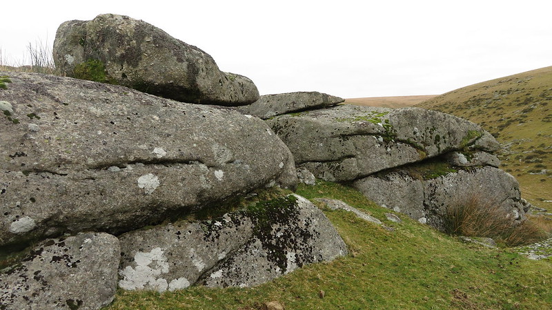 It is Eric Hemery in 'High Dartmoor' who describes this location; "This summit-less pile, its crown long since weathered and scattered on the grassy headland, has a core of bedrock and a large clitter on the south-east slope. A tiny natural cavern, slightly built up on one side to form a cache, may be seen on the south side of the tor." There is further evidence this was the pile he was describing in the form of photo 550 on page 1048 where part of this tor is shown. Both sites are popular candidates for the name as they both reside within the Walkham Valley, and, as Hemery so says, appear to have "a summit-less crown". 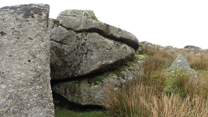 Writing in 1996 Tim Jenkinson states: "There appears to be some disagreement amongst the Dartmoor authors regarding the exact location of this tor. The normally precise Hemery (1983) offers a somewhat vague and confusing description. Utilising Worth's (1953) earlier claim that Clay Tor is 'devoid of a rocky crown' Hemery insists that the tor is ruined and has 'summit-less proportions'. Having studied his photographs and writings in detail, it is entirely possible that the author is referring to the mass of scattered rock situated at SX 560 779 high above the River Walkham as it makes its southward descent through the valley. The Walkham is at its most picturesque here as the hills on both sides bank steeply heralding to the west the rise of extensive clitter. Certainly at this point there are many large rocks that are strewn across the hillside though in spite of their density few if any resemble ruined outcrops. It is Bound (1991) who provides an alternative site for the tor, namely much further upstream about a mile to be exact, on the northern bank of the river beyond Dead Lake Foot at a point before it bends north towards its origin. Here a group of low lying sizeable rocks give the impression of a once small pile on the eastern edge of a large clitter." Terry Bound's location for Crossing's outcrop has its own entry at Clay Tor (Crossing). 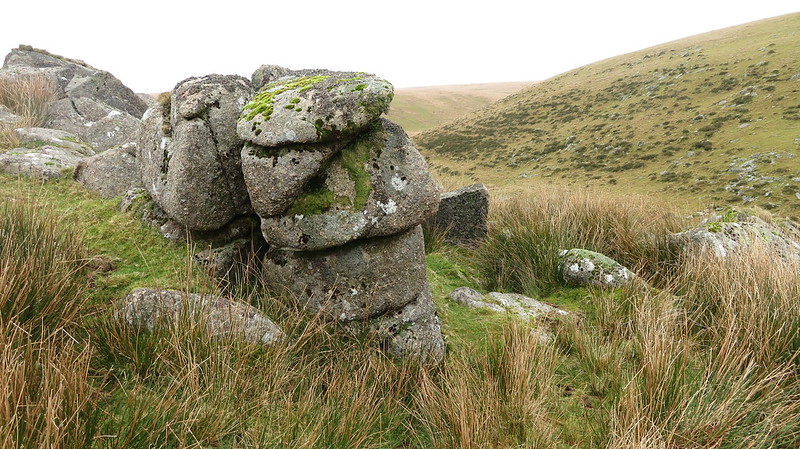
| ||||||||||||||||||||||||||||||