TORS OF DARTMOOR

a database of both lesser- & well-known rocks and outcrops

Home Search Map The East Access About Team Social Blog

Coffin Wood Tor

Brousen Tor (Kitchener)

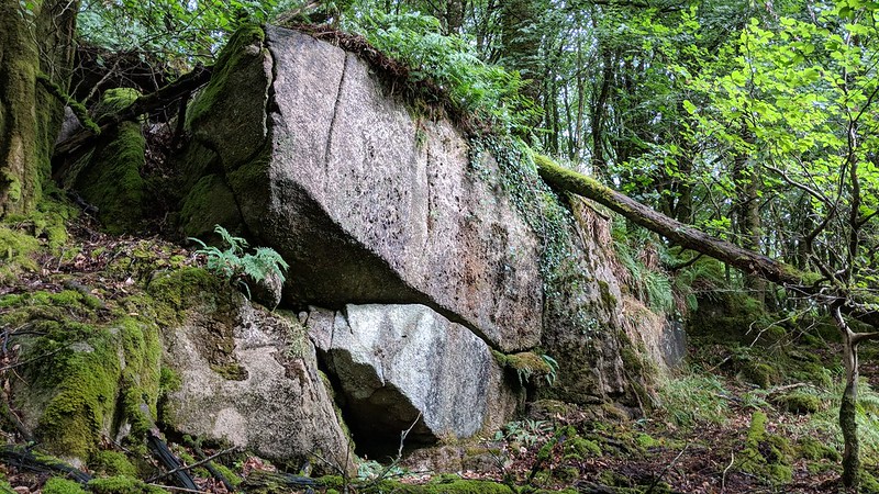
Hidden away on the northern side of the magical Coffin Wood at a place where you might not expect to find a tor, is a huge outcrop of pale coloured rock with scattered boulders above and below. Easily reached from a public footpath to the north, the tor is very little known and was first espied by Mike Kitchener.

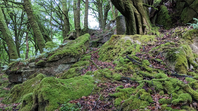
Set right on the edge of the trees and part enveloped by them about half a mile to the north-west of Brousentor Farm, the tor seemingly teeters on the slope above the fast flowing River Tavy.

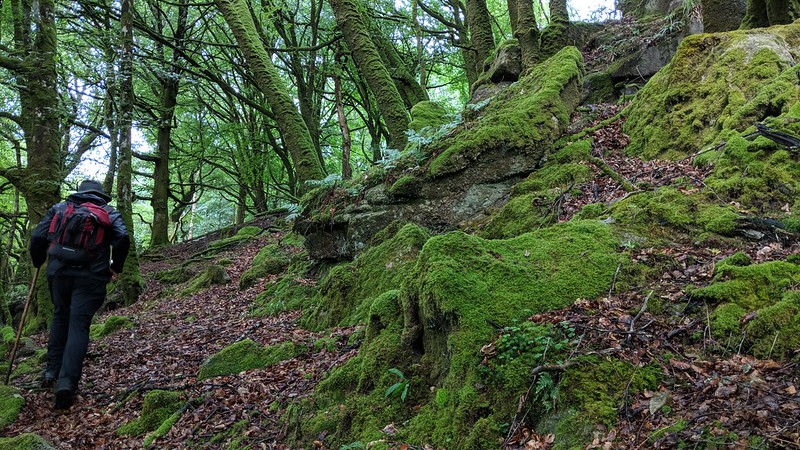
A particularly fine characteristic of the rockpile is the presence of some impressive green moss-covered boulders that are embedded in the floor of the wood. At first thought, by Mike Kitchener, this could be an alternative location for Brousen Tor, but we believe this not to be the case, hence the name given seemed appropriate.
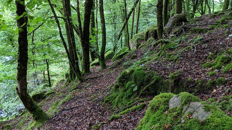
icon
icon
Coffin Wood Tor
The map above is not a navigation tool and we recommend that the grid reference shown below is used in conjunction with an Ordnance Survey map and that training in its use with a compass is advised.
Grid Ref:
SX 5399 8101
Height:
250m
Parish:
Peter Tavy
Tor Classification:
Valley Side
Access:
Private (but accessible)
Rock Type:
Granite
Credit:
Mike Kitchener
Reference / Further Reading:

Please Support Us

We are proud to see the names of lesser-known tors are now being used more commonly on other websites and whilst this is to be encouraged we do request that, should you wish to use the information on this page, you provide a backlink to the website as reference, by copying the relevant address:

https://www.torsofdartmoor.co.uk/tor-page.php?tor=coffin-wood-tor

Please also consider a small donation to the upkeep of the site; any contribution goes toward the fees to keep the database online and any costs incurred when undertaking research such as subscriptions to online archives.