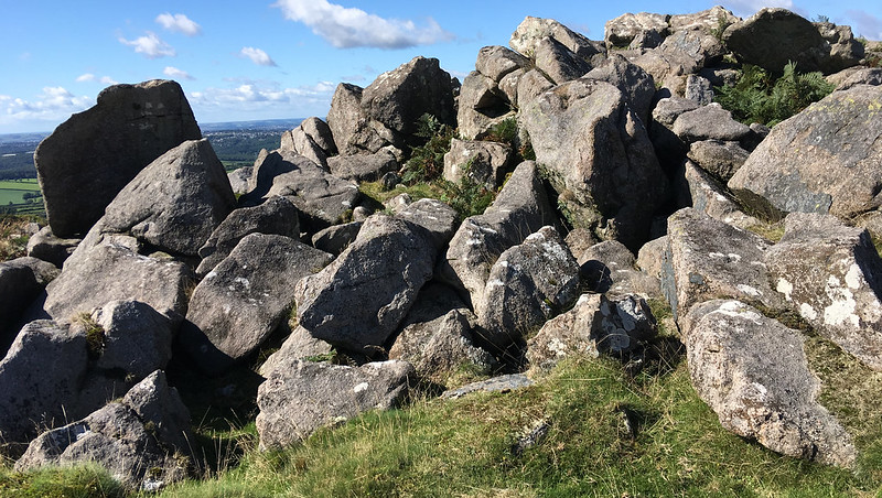
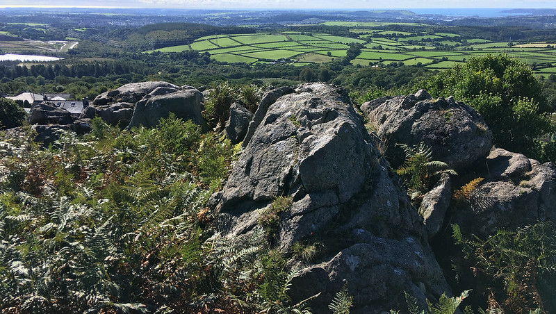
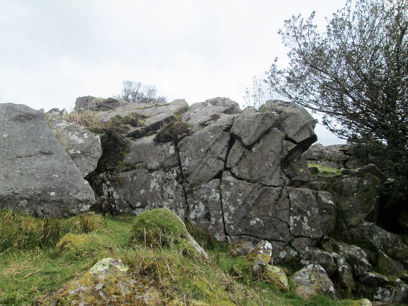
On the edge of the disused Wotterwaste China Clay Works, this large area of granite outcrops and clitter creeps down the hill to the village of Wotter. There is a path across the top, but it is an enjoyable scramble from the bottom.
Hemery says of this pile; "The southernmost tor, consisting of two rock-piles, is Collard Tor (approx. 825 feet), which is well worth visiting as the frontier-post of an oasis in an industrial desert. It is obvious from the rocky summit and the great clitter below that this was once a striking pile."
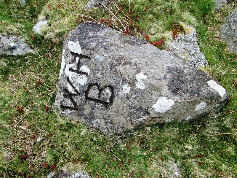
The WH/B boundary stone is near the summit of the tor as a possible Wotter House Bounds as proposed by Milestone Society member Mark Fenlon.
Collard Tor
The map above is not a navigation tool and we recommend that the grid reference shown below is used in conjunction with an Ordnance Survey map and that training in its use with a compass is advised.
Grid Ref:
SX 5566 6208
Height:
270m
Parish:
Shaugh Prior
Tor Classification:
Valley Side
Access:
Public
Rock Type:
Granite
Credit:
Ordnance Survey
Reference / Further Reading:
Ordnance Survey Maps Eric Hemery: High Dartmoor
Please Support Us
We are proud to see the names of lesser-known tors are now being used more commonly on other websites and whilst this is to be encouraged we do request that, should you wish to use the information on this page, you provide a backlink to the website as reference, by copying the relevant address:
Please also consider a small donation to the upkeep of the site; any contribution goes toward the fees to keep the database online and any costs incurred when undertaking research such as subscriptions to online archives.