TORS OF DARTMOOR
a database of both lesser- & well-known rocks and outcrops
Conies Down TorConies' Down Tor, Condeshull, Condyshull 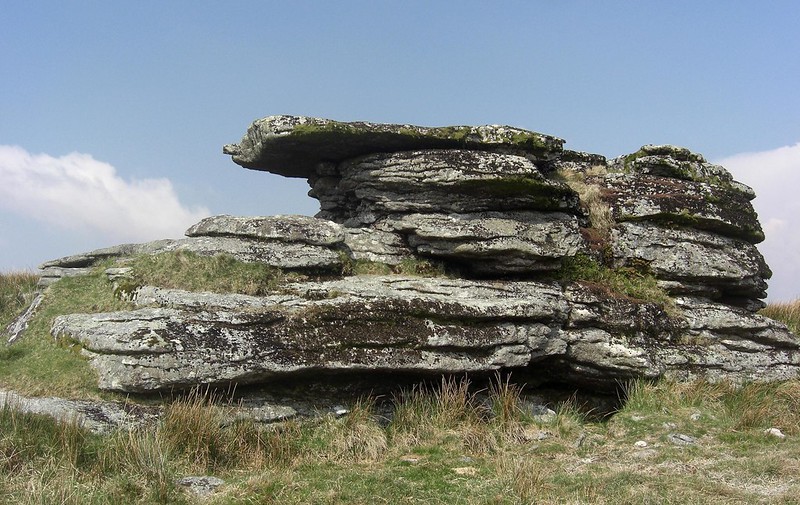 One of the best places from which to enjoy the Cowsic Valley is at Conies Down Tor, a small but nonetheless attractive rockpile situated on Conies Down on the southern slope of Maiden Hill, itself a lofty eminence that rises to over 540m above sea level (a.s.l.) and stands sentinel at the top of the valley when seen from the B3357 road way to the south. The tor consists of two outcrops at roughly 525m a.s.l. which makes the tor even higher than the much grander Lydford and Beardown Tors seen to the south east. The highest outcrop is the most impressive, a cohesive stack riddled with fissures and accentuated by dark lichen on the south face. The summit of this rock is flat-topped but the western side reveals a fine overhang which could shelter a small person from prevailing winds coming from the east. The lower outcrop is longer but lower in stature and presents as a small wall of rock from the underside. 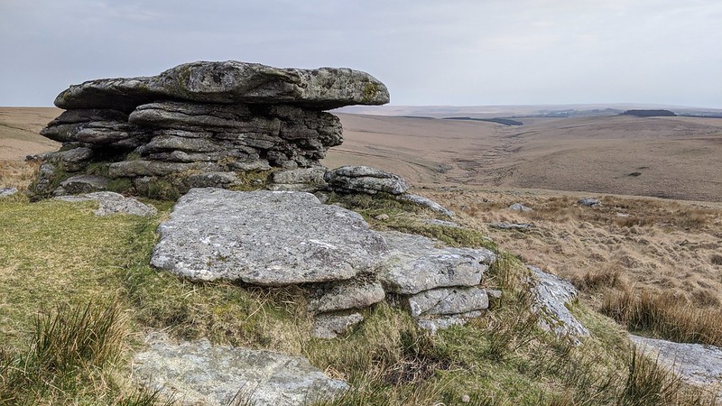 A surprisingly grand clitter lies beneath the diminutive tor which suggests that it was once much more impressive. The view, however, is something else, one of the most striking on Dartmoor. Looking south, one can view almost the entire Cowsic Valley where the river twists and turns like a mosaic. The straight valley, studded above the left bank by the tremendous miniature mountains of Beardown Hill and facing towards the frontier heights of the South Moor, is a special scene and nowhere else is this better appreciated than from Conies Down. Even Eric Hemery himself was impressed when he wrote: "Ahead and southward, one is struck by the extraordinary series of meanders in the course of Cowsic below Broad Hole." 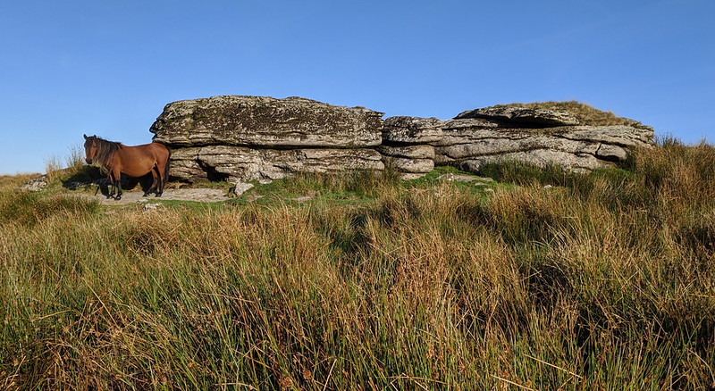 The earliest reference to the tor we can find is by Samuel Rowe in 1848 who explains that it is "On Conies' Down, between the Cowsic and Walkham Rivers." It is possible that 'Coney', an old name for rabbit, gives this tor its name, so one might assume then that there was once a rabbit warren nearby. There is certainly a decent spread of clitter that would have facilitated the construction of vermin traps, but neither the traps nor any pillow mounds have been noted on the hillside. Indeed the nearest known warren was at Beardown Farm almost 4 kilometres to the south. Crossing is the first to link the name of 'Coney' to the Down where he writes in the Western Morning News of September 1903: "None, however, can be adduced from place-names, unless Conies Down, near the head of the Cowsic, be a possible exception. But whether this name has reference to rabbits, or is a corruption of an older one to which no such connection belongs, is not certain." Nearly 30 years later, in The Place-Names of Devon, an almost identical theory is given, with both publications suggesting that 'Conies Down' derives from 'Condyshull'. 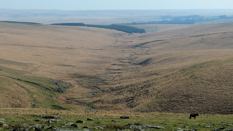 To the west of the tor lies Dartmoor's second-highest stone row, a double row that runs north to south. It is not an impressive row as many of the stones have fallen or are embedded in the turf. A more interesting curiosity is the track to the immediate south. This is part of the Lych (also spelt 'Lich') Way, an ancient trackway that was once used to carry the dead from Bellever in the heart of Dartmoor to Lydford (in the west) to be buried. Once upon a time, Dartmoor Forest and Lydford were in the same parish; and Lydford, one of the largest in England, decreed by law that anyone dying within the parish had to be buried in the graveyard of the church. As this was at Lydford, it necessitated a long and arduous trek across the high moor for those inhabitants of Bellever and the other surrounding ancient tenements. At the foot of Conies Down Water where it meets the Cowsic in Broad Hole is Travellers' Ford, an important crossing-place on the route.
| ||||||||||||||||||||||||||||||