TORS OF DARTMOOR
a database of both lesser- & well-known rocks and outcrops
Corn TorFlagpole, Granate Tor (possible site), Granite Tor
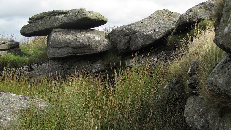 Named as 'Corn Tor' within a book by the Institute of Geological Sciences, published in 1968, it was also mentioned by Hemery, in High Dartmoor; "On the west spur of the ridge are the small twin outcrops known as 'Flagpole'. A red flag flew here during the last war military exercises, the flagpole socket still remaining." Later identified by Sanders and Watson, this is a collection of low granite outcrops just off Corn Ridge, with extensive clitter. When looking up from the Kings Way, below, it is an obvious tor on the side of the hill. There is a small lower pile, with a more substantial outcrop higher up, large granite slabs piled in an "L" shape, the natural enclosure hidden beneath a damp patch evident by the tall grass. From the higher pile, you can clearly see the cairn on the ridge. 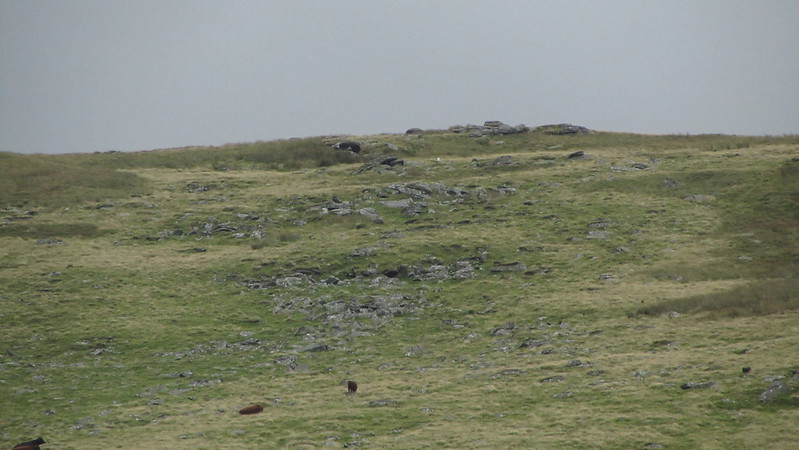 This is also a contender for the elusive Granate Tor. There are a few theories regarding 'Granate' including it being a misnomer. The first, and most popular, is that it is actually Sourton Tor and an 1851 publication named "A Hand-book for Travellers in Devon and Cornwall" by Thomas Clifton Paris supports this; "In 6 m the traveller reaches a few cottages, collectively known by the name of Lake, where, l. of the road, in a deep gully, is a small copper mine called Tor Wood, deserving notice for its gigantic water-wheel and picturesque locality; and on the neighbouring heights Granate Tor, very beautifully covered with snow-white lichens, which show that the rock is not granite, although the name would seem to imply it." This little known book, after many editions, was later incorporated into the more popular Ward Lock's Dartmoor Guidebooks. In the 1896 edition, it was "Granate" (incidentally, Sourton Tors was individually mentioned in a different part of the guide), then, in 1919, the spelling was changed to "Granite". By 1930, the name had disappeared and it had been changed to "Sourton". This could be interpreted that the original description had been a case of misidentification and Granate is located elsewhere.  Then there are the maps which predate the 1851 publication to consider. It was originally thought to be to the north of Branscombe's Loaf due to an 1802 Ordnance Survey map. Note that Sourton and Granate Tor are clearly labelled separately, with a big distance between them. The 1803 map points to the north-west slope of Corn Ridge, although that is open to interpretation. Tom Greeves, in his article in Dartmoor Magazine in 1994 ambiguously says it is "North of Branscombe's Loaf" and just looking at the map you can see an argument for both locations. But it is a later Ordnance Survey map, dated 1809, placing Granate Tor on the western slopes of Corn Ridge, that brings this particular outcrop into contention as a candidate. 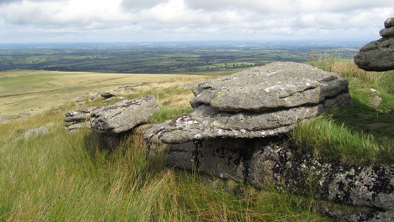
| ||||||||||||||||||||||||||||