TORS OF DARTMOOR
a database of both lesser- & well-known rocks and outcrops
Cosdon HillCosdon Beacon, Cawsand Hill, Cawsand Beacon, Cawston Beacon, Cossdonne Hill, Cosson Hill, Costendoune, Cawson Hill, Cawsorn Hill, Coston, Casdon, Cowston, Cawson Burrow 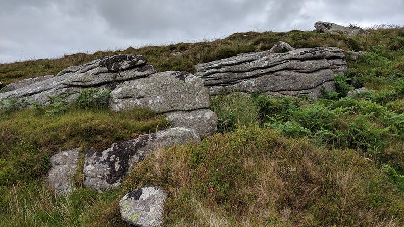 Reputed to be the first point on the 1240 Perambulation, this large domed hill is topped by a massive cairn and OS trig point, visible from miles around. Whilst there is little in the way of natural granite at the summit, just below and on the western and south-western slopes are several scattered outcrops, evidence of a ruined tor. 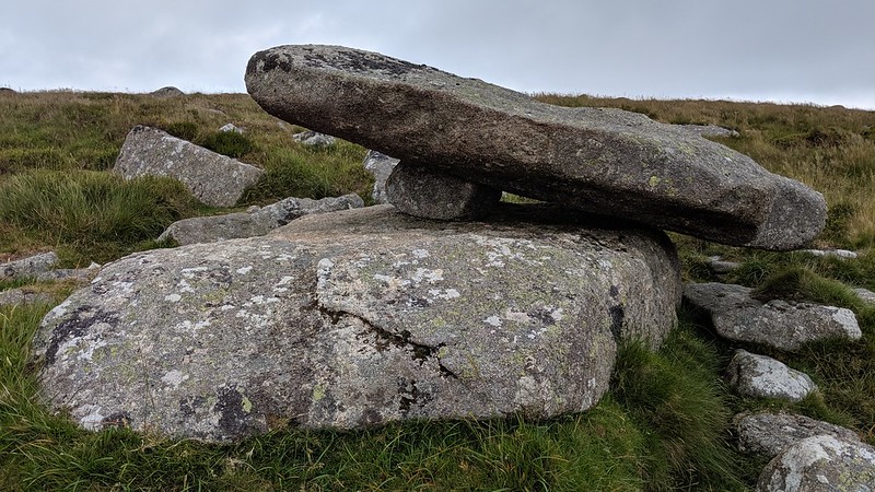 The exposed granite here is little known as it cannot be seen from above and is very lowly, but the outcrop at SX 6336 9157 is perhaps the best of the group, culminating in a small avenue with repetitive horizontal joints. Just south of here, at SX 63360 91478, is a propped-up rock, most likely a former logan stone. Then, south-east of this at SX 63432 91406 is another small outcrop, topped by a middling boulder. 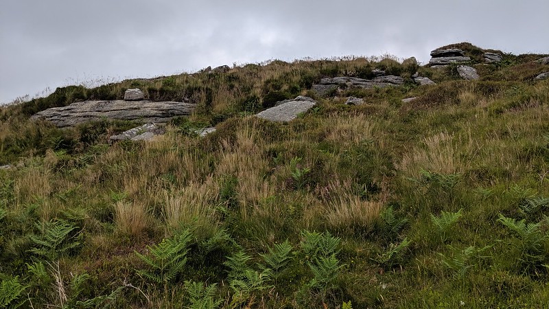 Away from these rocks and on the other side of the hill, at SX 6375 9167 can be found a flat outcrop heavily worked, with feather and tare marks in abundance 50 metres east of the track where there is another, much smaller cairn. Despite all of the outcrops' mediocre stature, the views are more than rewarding for any rambler who chooses to ascend this eminence. Eric Hemery (High Dartmoor, p.834) elaborates; "...Cosdon (1,800 feet) displays its mighty dome to every hill in north Devon, to Haldon and the east Devon plateau, to the entire length of Exmoor and numerous heights on south Dartmoor." 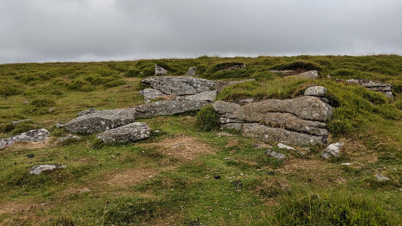
| ||||||||||||||||||||||||||||||