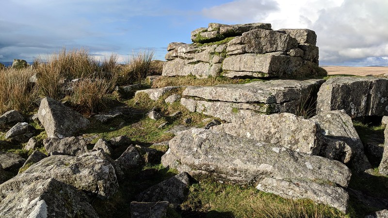
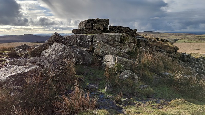
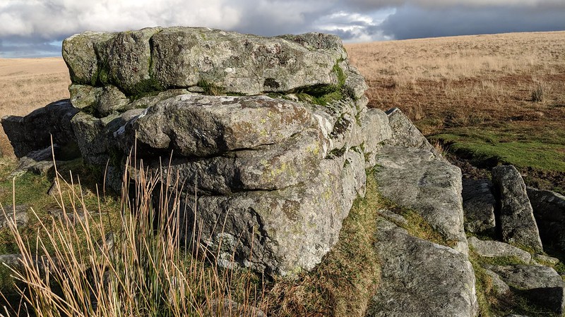
North of Devonport Leat, south of Hart Tor Brook, on the side of a hill, this is a short granite outcrop with a lonely feel to it despite not being too remote. Its position on the down makes it a challenging but rewarding tor to find when clag descends. The area is also used for so called 'dry training' where no live ammunition is used just blanks and pyrotechnics. There is no restriction on public access and the emphasis is purely on adventurous and tactical battle training.
Both Crossing and Hemery give little description of the tor itself, their attention rightly drawn to the views from its top. Hemery, however, describes; "a much weathered pile a hundred or so feet below the crest of the down..."
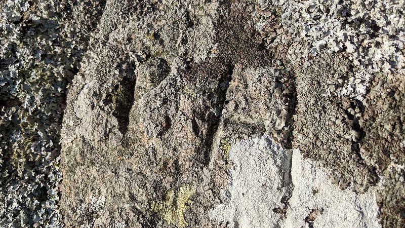
There is an inscription on the east side of the tor; the initials 'PH'. Its origin is unknown.
Cramber Tor
The map above is not a navigation tool and we recommend that the grid reference shown below is used in conjunction with an Ordnance Survey map and that training in its use with a compass is advised.
Grid Ref:
SX 5838 7118
Height:
416m
Parish:
Walkhampton
Tor Classification:
Spur
Access:
Public
Rock Type:
Granite
Credit:
Ordnance Survey
Reference / Further Reading:
Ordnance Survey Maps William Crossing: Guide to Dartmoor Eric Hemery: High Dartmoor
Please Support Us
We are proud to see the names of lesser-known tors are now being used more commonly on other websites and whilst this is to be encouraged we do request that, should you wish to use the information on this page, you provide a backlink to the website as reference, by copying the relevant address:
Please also consider a small donation to the upkeep of the site; any contribution goes toward the fees to keep the database online and any costs incurred when undertaking research such as subscriptions to online archives.