TORS OF DARTMOOR
a database of both lesser- & well-known rocks and outcrops
Croft TorFox's Yard (alternative site) 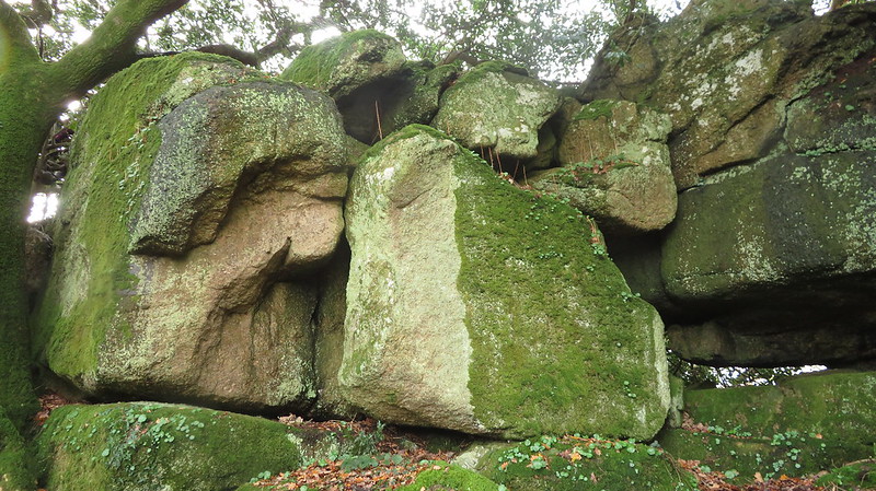 Set on the crest of the hill above the point where the main path from the Pethybridge direction breaks into the wood at the far south-eastern end of Lustleigh Cleave, is this striking small tor hidden away in the trees. It culminates in a split outcrop as seen in the last photo but because of the vegetation is mostly obscured when viewed from below. A small cave can be found under the main rocks. 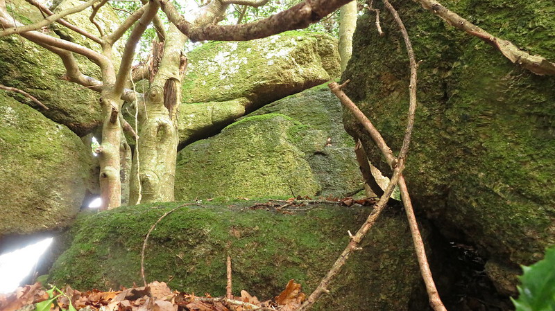 The north side of the tor's impressive outcrops stray into a private field and this side is where the tor best presents as a long, jagged ridge of granite on a woodland spur. The name of the tor is sourced from the Tithe Map of the Parish of Lustleigh, who mark two plots in the immediate vicinity as 'Great Croft' and 'Little Croft', thus Croft Tor seems a most appropriate appellation. 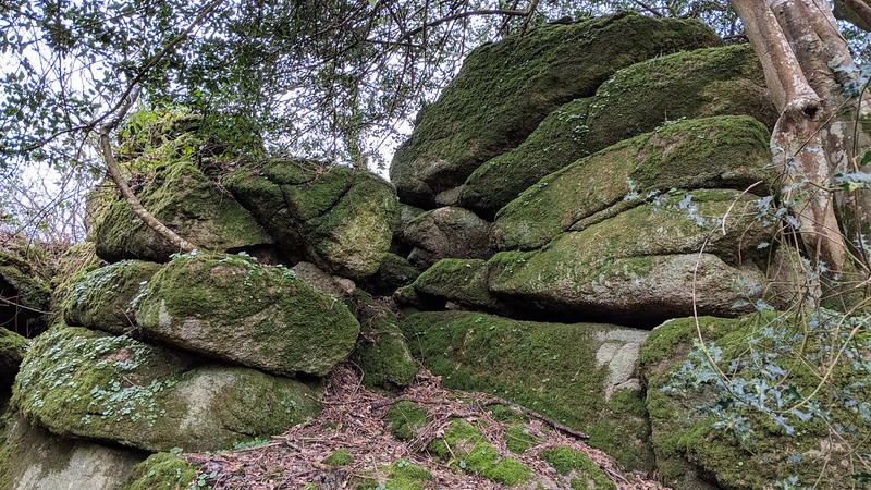 But there may be another name attributed to this tor courtesy of John Lloyd Warden Page: "The Raven's Tower an ivy-mantled crag rears its head from the ridge, bearing no inapt resemblance to the ruins of some venerable fortress. There is too the crannied pile called Fox's Yard owing its name to the harrier of adjacent henroosts who is said to frequent its fastnesses, while between these rock masses will be found two logan stones the largest bearing the name of the Nutcrackers unlike its more ponderous namesake on Rippon Tor it responds to the slightest touch." Given the arrangement of tors along the ridge and the order in which Page describes them, The Fox's Yard could conceivably be an alternative name for Croft Tor, but the author's interpretation is at odds with both Crossing's and the Ordnance Survey's representation of the Yard which is shown as lower in the Cleave and much further to the west. 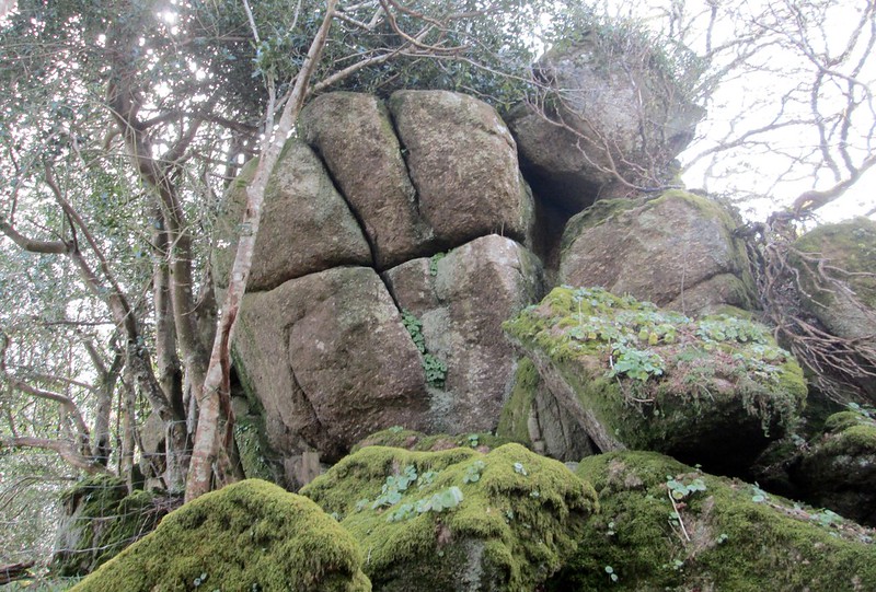
| ||||||||||||||||||||||||||||||