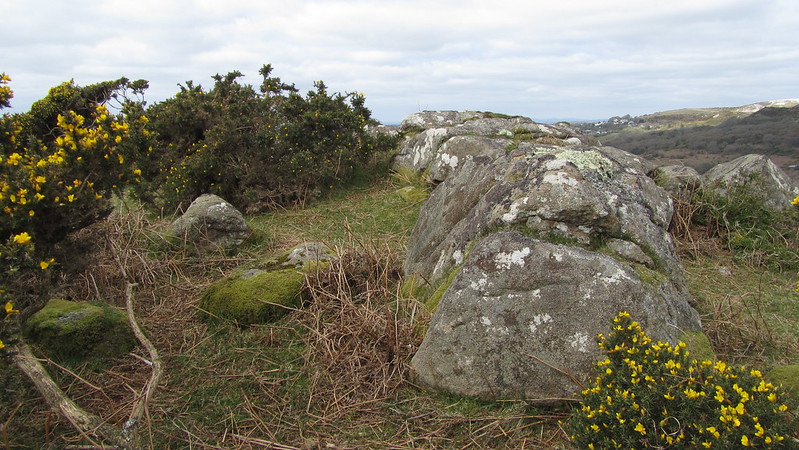
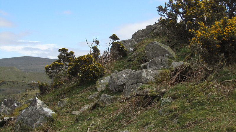
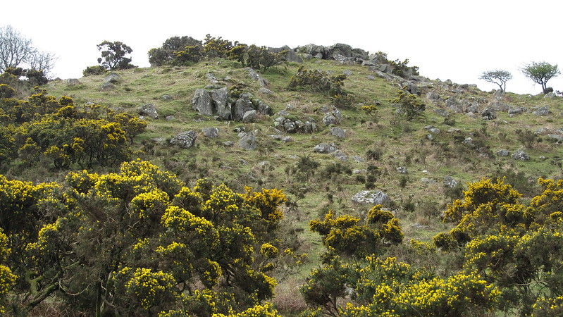
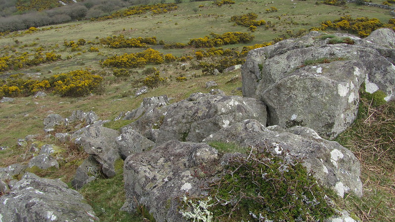
This unremarkable tor, like others in the vicinity of Lee Moor, is out of the boundary of the national park. It's a collection of scattered granite across the hill, to the south of the Torrycombe Valley and Tory Brook, with a low outcrop on its summit.
Its summit views are dominated by the scarring of the china clay works; north to Lee Moor and Cholwichtown, south to Headon.
However, it is worth mentioning that the boundary stones near the tor are inscribed LM/1887 thought to be related to Lee Moor or another theory Lord Morley?
Crownhill Tor
The map above is not a navigation tool and we recommend that the grid reference shown below is used in conjunction with an Ordnance Survey map and that training in its use with a compass is advised.
Grid Ref:
SX 5769 6090
Height:
236m
Parish:
Sparkwell (formerly Plympton St. Mary)
Tor Classification:
Summit
Access:
Public
Rock Type:
Granite
Credit:
Ordnance Survey
Reference / Further Reading:
Ordnance Survey Maps
Please Support Us
We are proud to see the names of lesser-known tors are now being used more commonly on other websites and whilst this is to be encouraged we do request that, should you wish to use the information on this page, you provide a backlink to the website as reference, by copying the relevant address:
Please also consider a small donation to the upkeep of the site; any contribution goes toward the fees to keep the database online and any costs incurred when undertaking research such as subscriptions to online archives.